Home / Articles / Mountain biking

Golden opportunity

Image of the August 2021 Wilderness Magazine Cover Read more from the
August 2021 Issue

Project Rameka in Golden Bay has produced an incredible riding experience on the border of Abel Tasman National Park

Project Rameka is one big carbon sink revolving around native forest restoration and walking and biking recreation. 

Since it began in 2008, with Bronwen Wall and her partner Jonathan Kennett purchasing an overgrown 46ha block in Golden Bay’s Rameka Valley, 14,000 tonnes of carbon has been sequestered and the area has become an amazing community project and recreation resource. With massive native replanting and weed and pest control in place, birdsong has returned. In 2015, crowdfunding added an adjoining 45ha block to the estate.

It was while developing this second block that an exciting discovery was made: the lower, long overgrown section of Rameka Track was found among the bush.  

Back in the 1890s, the Government funded a bridle track (which would become known as Rameka Track) through the Takaka Hill escarpment. It would link the farms and goldfields of Golden Bay with the growing communities of Tasman. In 1942, Abel Tasman National Park was formed, leading to the protection of the upper section of Rameka Track while the lower section was left to its own devices. With the completion of Takaka Hill Road, the bridle track saw little foot traffic. 

So you can imagine the excitement with the discovery of the overgrown lower section of the Rameka running through the new addition to the project. A dozen volunteers set to work reclaiming and restoring this historic track.

Rameka Track

We headed out early over a light frost to ride Rameka Track. When the sun popped over Evans Ridge, it set the climb to Pages Saddle on fire – stunning.

The very top section of the track sticks, more or less, to the 800m contour until it exits Abel Tasman National Park. In-between are technical creek crossings and plenty of slippery roots to keep riders amused. There is a short descent to the top of the Rameka Creek Road where the old pack track is picked up again, descending to the top entrance of the Rameka Carbon Forest.

We continued down some beautifully built single-track to the Forks, where, on our last visit, we had been entertained by a couple of kea playing in the pines. We hung a right at the junction onto the Great Expectations Track. This is a nicely-graded plummet to Rameka Creek where the Klick Tracks are sandwiched between the lower Rameka Creek Road and the creek. It manages to rock and roll with lots of flow in tight confines. We finally popped out at the Totara car park where a sign pointed us across the creek to the start of the resurrected Rameka Track.

The climb commences along a nice series of switchbacks running back to the Forks. There is the option to bomb down the technical and tight grade five Odyssey Trail if you are up for another climb back here, but we returned on the Rameka Track to reach Pages Saddle and the National Park, from where it’s a nice downhill back to the road end.

Wild File
Access
Canaan Road end
Grade 3-5
Time 4-6hr
Distance 30km
Topo50 map BP25

Riding the open landscape of the Canaan Big Loop Bike Track. Dave Mitchell

Canaan Big Loop Bike Track

At the top of Rameka Track is a bunch of trails in the Canaan Downs Scenic Reserve and farm park. The reserve borders Abel Tasman National Park with Pages and Wainui saddles to the north, Mt Evans to the east and Harwoods Hole to the west.

A nice DOC campsite is at the south end of the reserve. It’s a good base from which to explore the area.

The Canaan Big Loop Bike Track leads through the gate at the western edge of the campsite and up an old farm track that climbs past the Rameka Track turn-off, just before Pages Saddle.

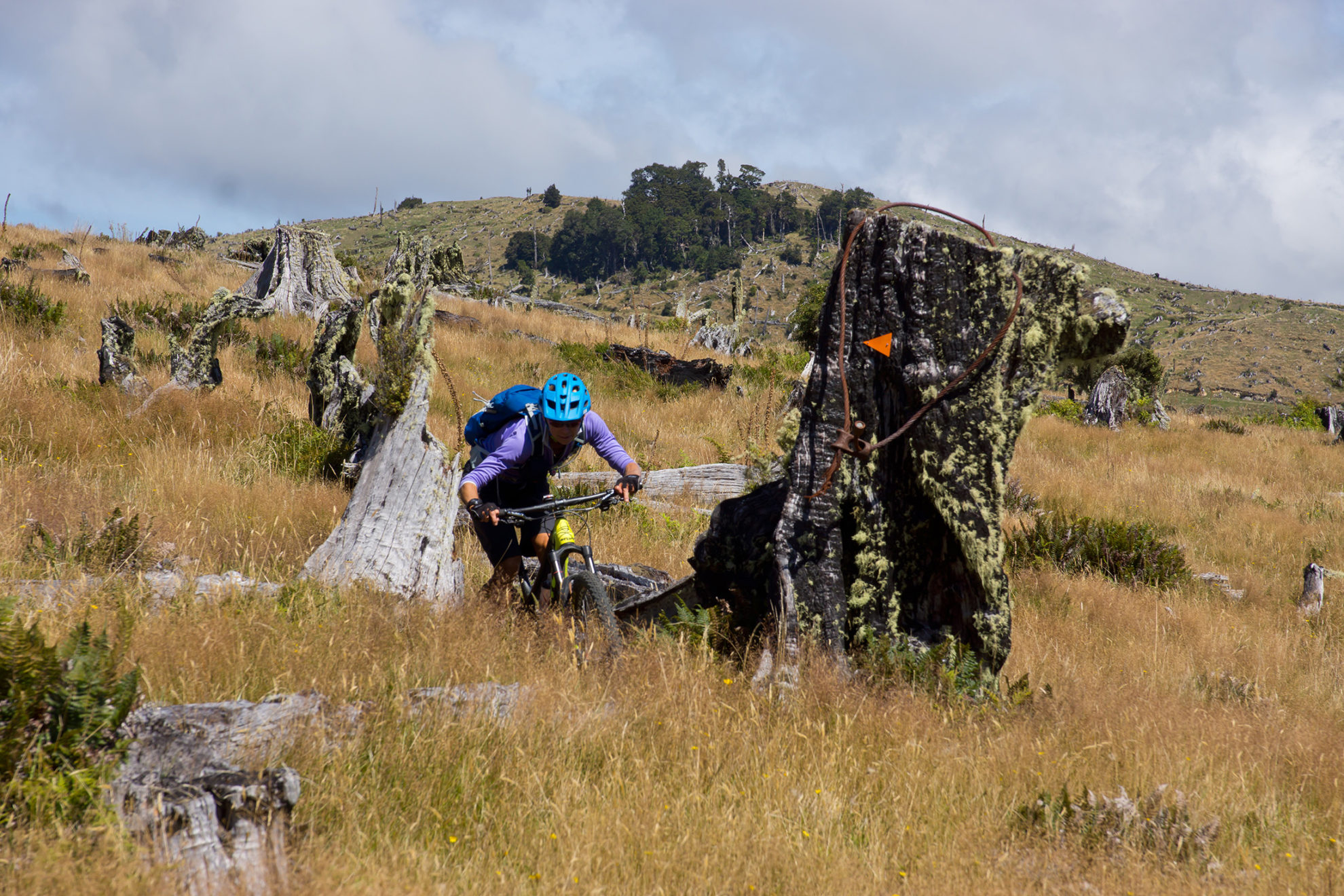
Ancient beech forest hugs the east side of the track with open farmland opposite. There is stunning mixed bush on the way to Wainui Saddle with ferns and wiry dracophyllum. The saddle is an open area and provides the best views of the reserve and national park.

The track now descends through the top of the farm with technical creek crossings and shady bush blocks. About halfway is a short link track to the Gold Creek Loop, which when ridden clockwise has numerous enjoyable switchbacks which weave through two large patches of remnant forest before rejoining the Big Loop.

The track then climbs to Big Burn Hill and traverses the eastern boundary of the farm, finally descending to Canaan Road where a right turn leads back to the road end campsite.

Halfway back to the campsite is the Rollercoaster – a great bit of trail built on the western side of Canaan Road. It climbs onto a low ridge then zigzags down and enters the bush beside the Harwoods Hole Track before descending back to camp.

Wild File
Access Canaan Road end
Grade 3-5
Time 1-3hr
Distance 20km
Topo50 map BP25