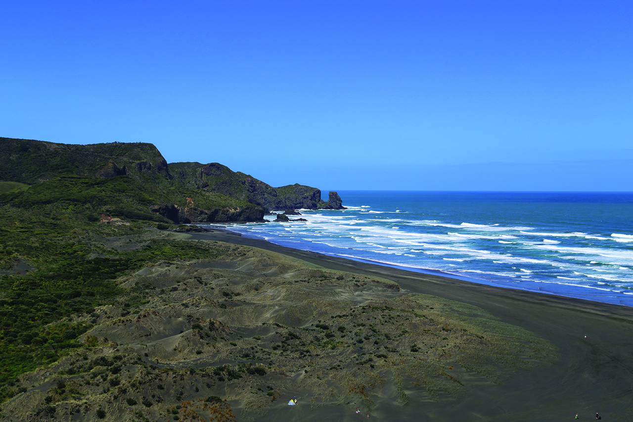
If you want dramatic cliffs, waves smashing into rocks and elevated ocean views then head to Bethells Beach (Te Henga) just 45 minutes from Auckland’s CBD.
Te Henga Walkway starts here, at a small car park around 1km before the beach. It makes sense to take two vehicles and park one at each end, making it a three-hour one-way trip rather than a six-hour return, though the return trip is described here.
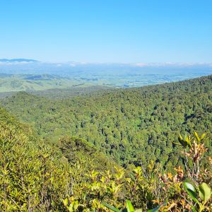
Cross the bridge over the Waitakere River and then a meadow before starting a climb through head-high bush. It’s not long before you get a full view of Bethells Beach with hills of native forest to the east.
The track drops towards O’Neill Bay and there’s the option to head down to the bay itself. Otherwise, the walkway rises right to the top of the cliff and there’s a spell where you have paddocks on your right and wild coastal views to your left.
The track drops a little and continues along the steep-sided cliff edge.
The beaches disappear and the coastline becomes less accessible. There are numerous lookouts where you can see waves pound the cliffs and water gush through arches. Lone rocks that were once part of the mainland get slowly battered into non-existence.
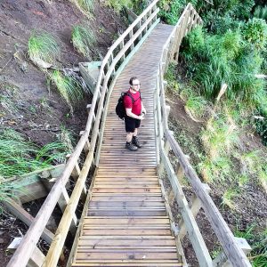
The track is worn and narrow in places and you need to watch your footing.
At a track junction, you can head to Constable Rd – the best place for a lunch break or to collect your car.
If you’re returning to Bethells Beach, it is recommended you turn round here as the path heads inland, while overlooking Bartrum Bay. You get a lot out of the return leg because you spot plenty more photo opportunities missed on the way in.
To vary the experience a little, try visiting O’Neill Bay. There is little shelter on this walk – sunscreen, hats and plenty of water are essential.

Already a subscriber? Log in
Subscribe to read this article immediately and unlock exclusive 10-15% discounts at NZ’s best outdoor stores.
Cancel anytime.

Questions? Contact us