


- Area
- Pureora Forest Park
- Distance
- 25.8km
- Time
- 12-16hr
- Grade
- Easy
- Accom.
- Hauhungaroa Hut ($5, six bunks); Waihaha Hut ($5, 10 bunks)
- Access
- Mangakahu Valley Road (from Ongarue) or Western Bay Road (SH32) between Taupo and Kuratau
- Map
- BG34
- GPX File
- Hauhungaroa traverse (gpx, yo 91 KB)
- Your device does not support GPX files. Please try a different device.
The first stage of this walk is 6.5km to Hauhungaroa Hut.
The track climbs steeply through predominantly tawa forest.
Once the crest of the range is reached, the going gets easier. Follow the track north past Motere Trig, keeping an eye out for occasional vistas through the trees. Halls totara and miro become more noticeable with an increasing presence of kamahi, quintinia, broadleaf and toro.
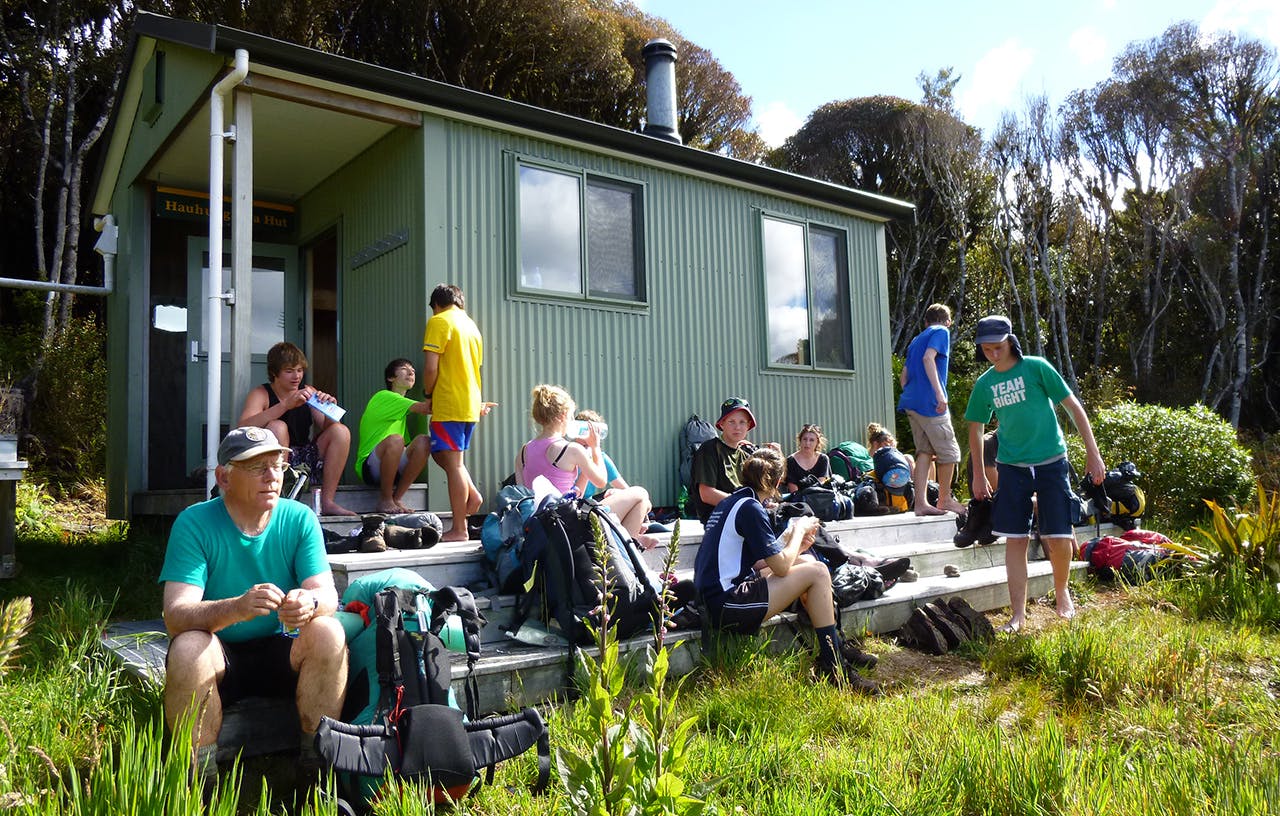
The six bunk Hauhungaroa Hut is sited at 950m, offering good views over the King Country to the north-west.
From Hauhungaroa Hut, the track continues along the ridgeline before descending a long but obvious spur to meet the Waihaha River just south of Te Awaiti Stream. On a sunny day this is a great spot to swim.
Keeping on the true left of the river, enter the valley of the giants – the enormous trees of the Waihaha Ecological Area. A tight canopy of rimu, matai, miro, totara, and occasional kahikatea, reaching 40-50m in height tower above.
Within a couple of hours the 10-bunk Waihaha Hut is reached, complete with wood-stove and covered verandah. This is a wonderful place to while away the hours while appreciating the primeval surroundings.
It is just 9.5km on a benched, all-weather track to the Western Bay Road.
Waihaha means ‘noisy water’ and it certainly is in places, but it’s the diversity of plant communities that are the outstanding feature of this final section.
