Home / Trips / Canterbury

Manuka and Woolshed Huts, Hakatere Conservation Area

Manuka Hut. Photo: Conor Leahy
Area
Hakatere Conservation Area
Distance
32.3km
Total Ascent
Moderate
Time
Car park to Manuka Hut, 2hr; Manuka Hut to Woolshed Creek Hut, 7.5hr; Woolshed Creek to car park, 5hr
Grade
Moderate
Accom.
Manuka Hut, 6 bunks; Woolshed Creek Hut, 26 bunks
Access
Ashburton Gorge Road from Mt Somers, then Hakatere-Heron Road. Park at the track to Lake Emily next to Castleridge Station
Map
BX19
GPX File
Manuka and Woolshed Huts_Hakatere (gpx, yo 28 KB)
Your device does not support GPX files. Please try a different device.

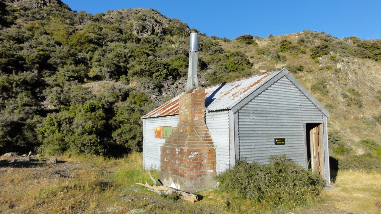
It,s an easy stroll from the access point next to Castleridge Station along the 4WD track past Lake Emily, across the side of Emily Hill and down into the Stour River West Branch valley. A crossing over Stour River is required to reach Manuka Hut. Then head off around the Manuka Range – first following the West Branch; meeting the watershed and then following the course of the East Branch of the Stour River.

Initially, matagouri and swampy conditions makes progress slow but once on the low tussock flats you,ll make better time. More tough tramping awaits with waist-high grasses and swampy conditions ahead combined with intermittent matagouri-filled gullies before East Branch converges with the West Branch. Then it’s a pleasant boulder hop down the river to where it flattens out and the rivers join. Follow a fence line, the biggest challenges being the omnipresent matagouri and frequent swampy conditions, before climbing up and over to Woolshed Creek Hut.

Walk back to Stour River and from there it,s a simple case of following the 4WD track over the flats, past Lake Emily and back to the car.