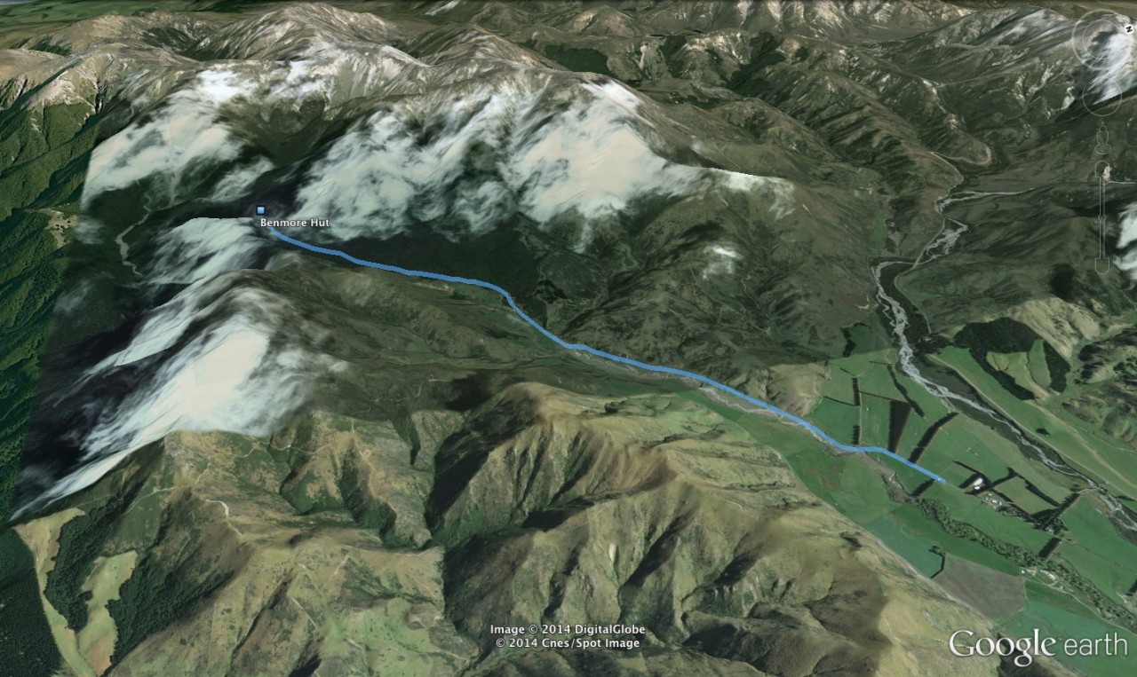
Benmore Hut, which lies at 800m beneath the Big Ben Range, south of Porters Pass, is accessed by hiking Thirteen Mile Bush Stream.
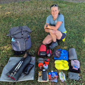
In winter, deep snow will be lying on the ground and in the trees, possibly causing some to topple over and block the track. This can hamper progress and lead to delays. But in good conditions the trip shouldn,t be too onerous and involves some pleasant forest walking.
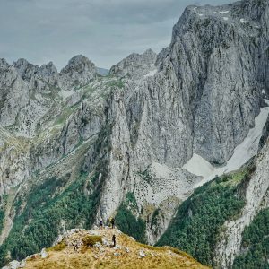
The hut stands on the saddle at the valley head and belongs to the NZ Deerstalkers Association. It,s a popular haunt for hunters trying their luck on the adjacent ranges or in the upper Selwyn River.
Just a few trampers find their way here, mostly heading for the flanks of the Big Ben Range to the west, where unmarked routes lead to Lake Lyndon. Be


34 years of inspiring New Zealanders to explore the outdoors. Don’t miss out — subscribe today.

Questions? Contact us