


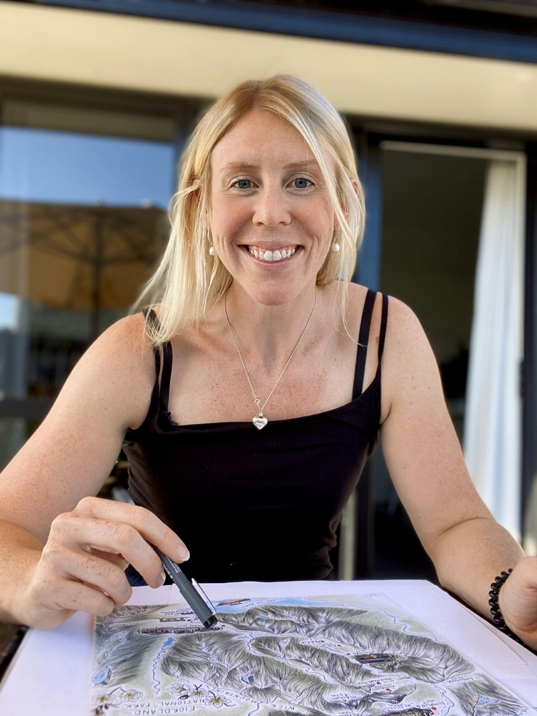
Illustrator Rachel Gamble-Flint records her adventures in the wilderness with hand-drawn maps.
With her wall space quickly running out, Rachel Gamble-Flint needed a plan B.
Photographs of tramping adventures adorned much of her home, and the need for a more streamlined interior was becoming apparent.
The keen tramper had just returned from a Fiordland adventure with thousands of photos and rather than get them printed, she was struck with a new inspiration.
Selecting a few colouring pencils and a fine liner, she got to work on her first map, using Geographx maps, DOC brochures, photographs and her memory for reference.
The result – a beautifully illustrated, annotated map of the Hollyford-Pyke Loop – showcased the unique features of the landscape, the waterfalls, mountains and wildlife – and best of all, it was an efficient use of wall space.
The map was a hit with friends and family, and a motivator to follow up with a Great Walk set, though she’s yet to walk them all.
“I tend to do more backcountry tramping as I’d rather go somewhere a little bit more remote,” she says.
“The Great Walks are good because they resonate with so many people.”
Born in the UK, Gamble-Flint moved to New Zealand in 2015 on a working holiday visa and fell quickly in love with the Kiwi way of life.
She worked as a rowing coach in Wellington and was one of four women who rowed across Cook Strait for mental health charity Through the Blue – the first women to do so.
It was during this challenge that Gamble-Flint got back into art, or ‘doodling’, using it as a way to unwind during her downtime – a coping mechanism, she says.
Though a skilled illustrator, Gamble-Flint says she has never felt like an artist and gave up on the hobby as a student.
“I got some feedback from my art teacher who said I wasn’t original enough – and that stuck with me a little bit,” she says.
Each of Gamble-Flint’s maps are drawn on A2 or A3 paper, and take upwards of 40 hours.
Between her full-time job coaching and teaching at a Cambridge college, training for the Coast to Coast, and weekend adventures, it’s a struggle to fit in time for illustrating, but during lockdown, Gamble-Flint was finally able to prioritise her illustrations.
“Ideally, when I draw I will sit down and just go until it’s finished – I find it hard when it’s stop-start. That’s why lockdown was great,” she says.
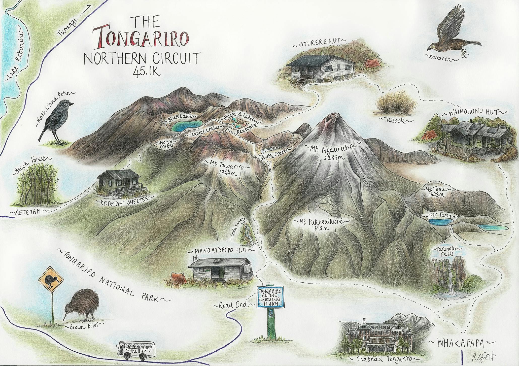
Rachel’s maps capture the essence of the landscapes
It was also during this time that she found the courage to post her work onto a tramping Facebook group. “It was a bit of an on-the-cuff decision to put a post up, but everyone was sharing photos, and I thought ‘come on you can do this’,” she said.
Her artwork received enthusiastic feedback, and Gamble-Flint was encouraged to share it again on New Zealand-made product pages.
“It really threw me off, and I wasn’t prepared for the response,” she says. “It clarified that I could do something with this, and it’s given me the nudge to back myself and know that I can justify the time it takes, and that people enjoy them beyond just me.”
A torrent of requests for prints followed her post, and Gamble-Flint has built a new website to cope with the demand.
With six Great Walks and several classic tracks completed, Gamble-Flint intends to complete the set of Great Walks before moving onto requested tracks in the Tararua Range and Nelson Lakes.
