
The track now climbs gradually above the Winton. It’s good riding for about 4km, just a little rough and rocky, but then it becomes boggy and undulating in places. The last leg to Forks Hut seemed to take ages as we circumnavigated bottomless bogs and dodgy stream crossings, but eventually we were at the old historic musterer’s hut having lunch in the hot sun.
Pedalling back was way easier, with lots more downhill.
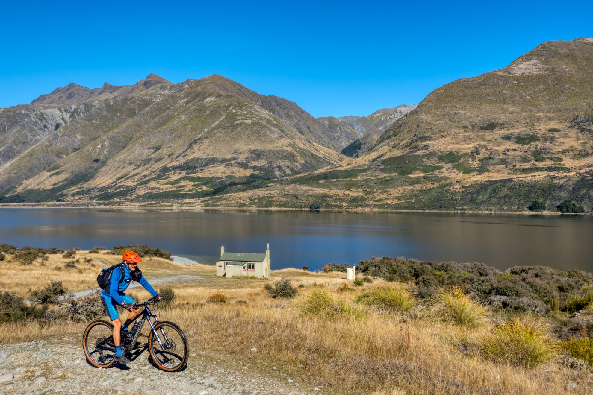
After recrossing Mararoa River, we took a 2.5km detour north to four-bunk Boundary Hut, perched on the bank of the Mararoa just after a swingbridge. The Mavora Walkway continues from here to the Greenstone Track via Pond Burn and Pass Burn.
That afternoon, beautiful light played across the mountains, lakes and through the beech forest. There was a smidgen of sun back at camp. Dusk was short, and with darkness came a half moon and sky full of stars. A good sign for the following day’s ride.
Ōreti River Valley, Eyre Mountains / Taka Rā Haka Conservation Park
East of the entrance to Mavora Lakes is Eyre Mountains / Taka Rā Haka Conservation Park, over 65,000ha of rugged mountainous country criss-crossed by rivers and creeks and full of huts and remote tracks. It’s mainly beech forest, but above the bushline there is a huge variety of fauna, some exclusive to Southland.
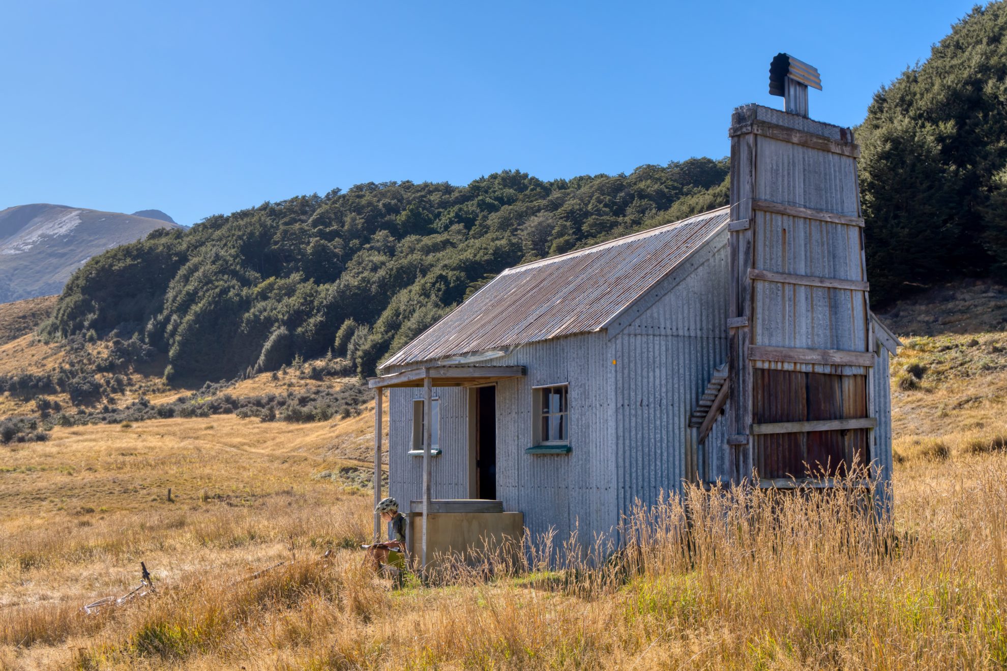
We rode back down Mavora Lakes Road and headed left for 2km along Mount Nicholas Road. After crossing the Ōreti River bridge we took a right turn onto a 4WD track that wanders along the Ōreti’s true right bank. The track was dry and fast as it disappeared across a vast plain towards the beech forest-clad mountains. After 5km we forded the Ashton Burn (hiding beyond its long gorge is Ashton Hut, only accessible over the adjacent ridge top) and continued down the valley to the historic Upper Oreti Hut, a corrugated-iron structure that commands a view of the whole valley and distant peaks.
We carried on down the valley, climbing over a tall bluff for the best views yet, and bombed the descent to the wide river flats below. After a couple of kilometres we took the DOC signposted turn-off and climbed to two-bunk Lincoln Hut, which is tucked away in the forest and proved too cold a spot for lunch.
From the hut it’s down the valley to a crossing of the Ōreti River and the turnaround point, where the park boundary meets Centre Hill Station. It was a warm and windless cruise back, and when we reached South Mavora Lake it was too hot even for the sandflies.


