Urchin Peak, Kaimanawa Forest Park

Read more from

Views of Mt Ruapehu from Urchin. Photo: Runi Sugianto

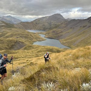
For easily accessible views of Ruapehu, you can’t beat a trip to the summit of Urchin in the Kaimanawa Forest Park.

The well-defined track leads up through beech forest before entering the sub-alpine zone and the barren tops.

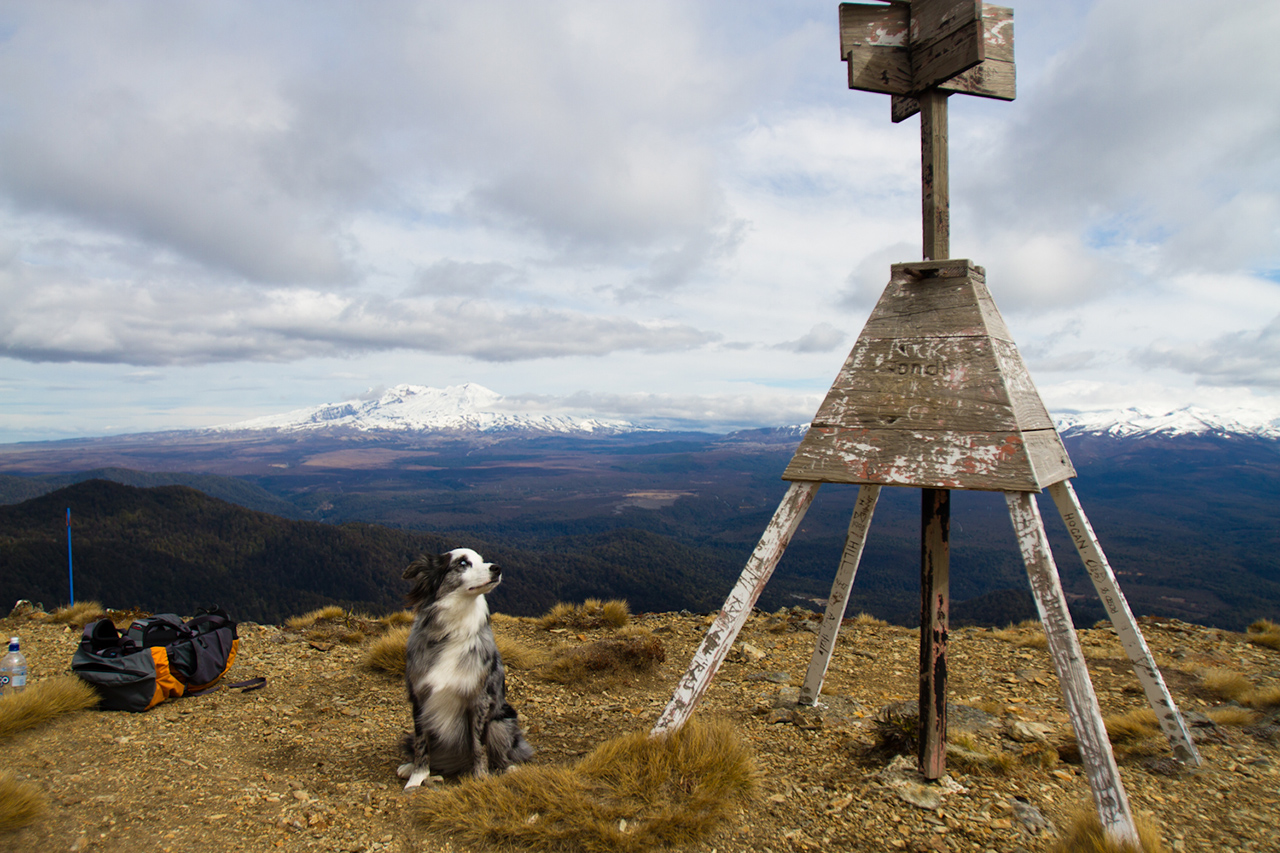
A weathered trig station marks the 1392m summit. Urchin can also be used as a starting point for a multi-day trip up the nearby Waipakihi River.

Distance
4.11km return
Grade
Moderate
Area
Kaimanawa Forest Park
Time
2hr
Access
From Kaimanawa Rd off SH1, past the Pillars of Hercules car park
Map
BH35

GPX File

Urchin Peak (gpx, 6 KB)

GPX File

Your device does not support GPX files. Please try a different device.
Alistair Hall

About the author

Alistair Hall

More From Trips

More From Trips

Similar Articles

Two Tongariro huts added to DOC booking system

Tongariro Northern Circuit huts no longer first-in, first-served during winter

Influencers now required to pay $100 to make content in Tasmania’s national parks

Moss Creek Track, Coromandel Forest Park

Karioi Track, Pirongia Forest Park

Mt William Walkway, Waikato

Trending Now

The 2026 Wilderness Outdoor Photographer of the Year competition

A tale of adventure and tragedy

Mt Peel, Kahurangi National Park

A lofty location for Brass Monkey

Get lost and suffer

Subscribe!
Each issue of Wilderness celebrates Aotearoa’s great outdoors — written and photographed with care, not algorithms.Subscribe and help keep our wild stories alive.

Join Wilderness. You'll see more, do more and live more.

Already a subscriber?  to keep reading. Or…

34 years of inspiring New Zealanders to explore the outdoors. Don’t miss out — subscribe today.

Your subscriber-only benefits:

All this for as little as $6.75/month.

1

free articles left this month.

Already a subscriber? Login Now