Although a much quieter and less energy-sapping tramp than the Tongariro Alpine Crossing, the walk to Upper and Lower Tama lakes involves an exposed ridge so it is important to be well-prepared with waterproof and windproof clothing.
The first hour to the Taranaki Falls is relatively easy.
The track then climbs about 220m across exposed terrain to Tama Saddle.
Six kilometres in, the track branches off to Lower Tama.
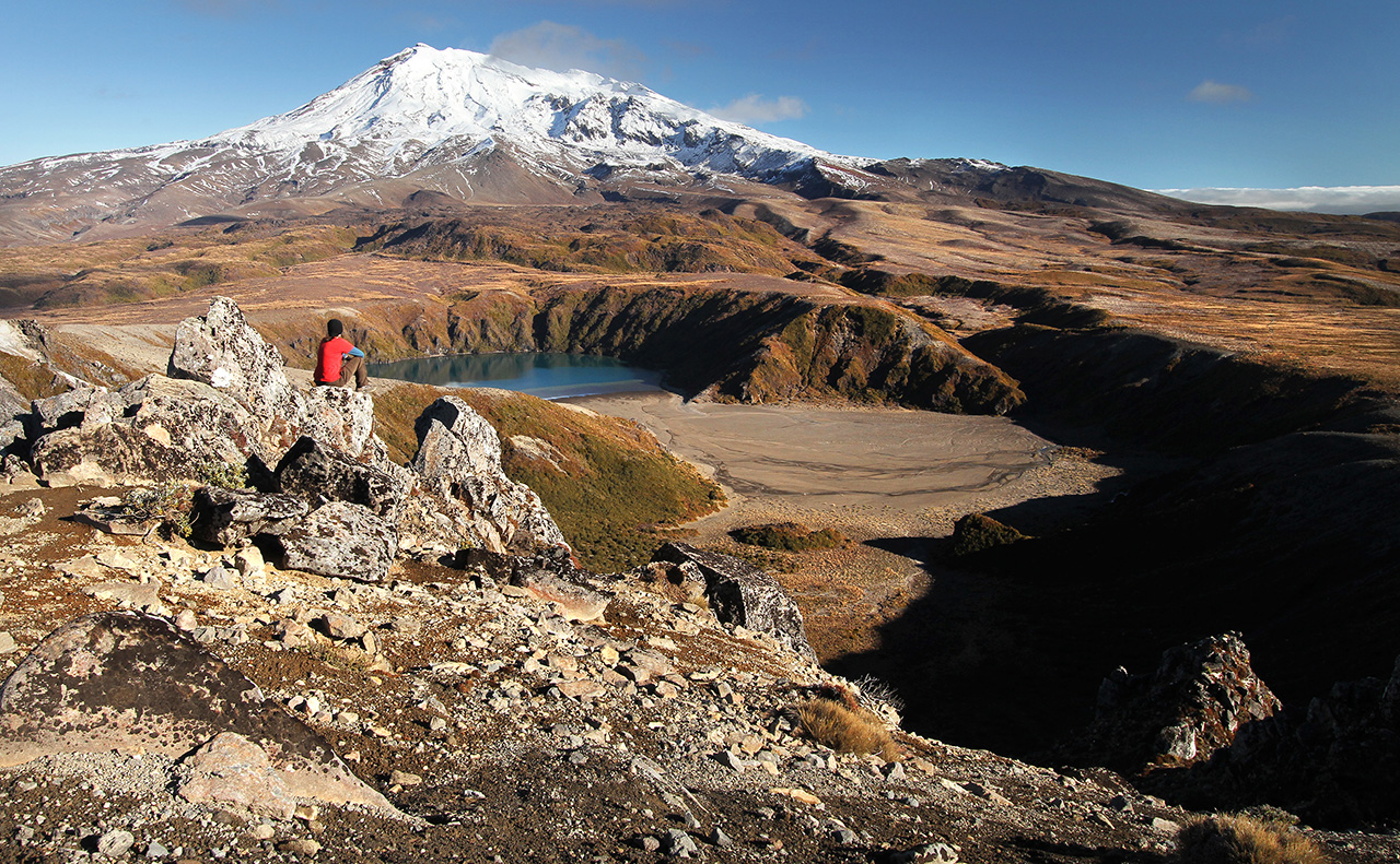
To view Upper Tama requires a steep climb up a scree slope. The views are great as the lakes are nestled between Mt Ruapehu and the much closer Ngauruhoe.


34 years of inspiring New Zealanders to explore the outdoors. Don’t miss out — subscribe today.

Questions? Contact us


