Summit and Wooded Gully tracks, Mt Thomas Forest Conservation Area

Read more from

Heading off on the Ridge Track with the Puketeraki Range in the distance. Photo: Andrew Lowton

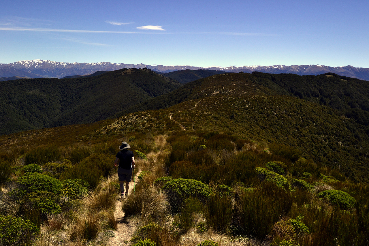
No less than four tracks begin at the car park in the Mt Thomas Forest Conservation Area, which covers 10,800ha between the Ashley and Okuku rivers.

The Summit Track up Mt Thomas offers consistent forest coverage, which is great if it’s a hot day.

After crossing a plush lawn, the track starts off rather scruffily, crossing an area of scrub and hopping a stile next to a logging road. Then the climb begins in earnest, heading straight up, for 30 minutes, through a tunnel of sweet-smelling pine trees.

The track exits the trees momentarily to cross the logging road, but the upward grind continues, although, thankfully, with a few wiggles to the route.

The track becomes more interesting as zigzags finally materialise. After an age, it abruptly pops out of the pine trees to turn left onto a wide track that spirals around the edge of the hill.

To the south are views all the way to Christchurch and the Port Hills. The track joins a logging road just before reaching the summit.

It is not the most scenic summit, endowed as it is with a wide flat expanse of grass, a jumble of meteorological towers and a large trig. But the views of the Canterbury Plains and the curve of ocean, the Lees Valley and the tops of the Puketeraki Range make it a perfect place to have lunch.

Continue along the Ridge Track, crossing a bush saddle covered with tussock, daisies and turpentine scrub. The track then dives off left and returns to the forest. In contrast to the pine trees of the Summit Track, this section is a remnant of the old beech and podocarp forests that once covered the area and is all the nicer for it.

A steep rocky path leads to a junction, where you can continue on the Ridge Track or turn onto Wooded Gully Track. The latter is probably more interesting, shorter and with several creek crossings.

It’s a roller-coaster of a route. Cross a ridge with trees dropping down either side, tackle several creek crossings, and share the track with a stream for 50m.

Eventually the track settles into downhill mode, with several long zigzags, passing through a stand of fire-blackened trees and bottoming out at a bridge with a picnic table beside the wide river.

Re-cross the lush lawn to return to the car park.

Distance
8.45km
Total Ascent
882m
Grade
Easy / Moderate
Time
5-6hr
Access
The car park is close to the Wooded Gully Campground and Picnic Area on Hayland Road
Map
BW23
Alistair Hall

About the author

Alistair Hall

More From Trips

More From Trips

Similar Articles

$35m scam: Everest guides accused of poisoning climbers to force fake rescues

2026-27 Great Walk hut and campsite booking dates revealed

Dirt bike trial on Tongariro Northern Circuit gets approval

Otamatapaio Hut, Oteake Conservation Park

Sudden Valley Bivouac, Arthur’s Pass National Park

Mt Technical tarns, Lewis Pass Scenic Reserve

Trending Now

Otamatapaio Hut, Oteake Conservation Park

The 2026 Wilderness Outdoor Photographer of the Year competition

Dirt bike trial on Tongariro Northern Circuit gets approval

A majestic coastal walk

Adventurer and author Dunc Wilson

Subscribe!
Each issue of Wilderness celebrates Aotearoa’s great outdoors — written and photographed with care, not algorithms.Subscribe and help keep our wild stories alive.

Join Wilderness. You'll see more, do more and live more.

Already a subscriber?  to keep reading. Or…

34 years of inspiring New Zealanders to explore the outdoors. Don’t miss out — subscribe today.

Your subscriber-only benefits:

All this for as little as $6.75/month.

1

free articles left this month.

Already a subscriber? Login Now