Around 60 huts are scattered around Ruahine Forest Park, most of them built in the 1960s by the Forest Service to shelter deer cullers who went bush for weeks on end.
Stanfield Hut is one of these huts and was named after George Stanfield, a local landowner. It’s two hour’s walk from the road end, so is popular as an overnight destination for families, or as a destination on a four-hour loop walk.
The Holmes Ridge Track leads to the hut, which starts out by crossing the Tamaki River – an easy, dry-feet affair in low flow.
There is a steep initial climb through regenerating native forest before the track reaches the ridge and an old farm road, open and wide. Apart from being a bit rutted in places, it’s an easy undulating walk for about 50min, with native bush on one side and scrubby farmland the other.
The track gets to a wide turnaround bay at which point there is a sign indicating 45min to Stanfield Hut. The track is narrower from here and soon enters the bush as it descends to the Tamaki River West Branch.
The descent is far more gradual than the initial climb to the ridge and crosses a couple of small streams before eventually starting to follow the river.
An old set of signs leads to Stanfield Hut, with the arrow directing trampers further along the river. But this is incorrect, as the track now drops to the river at the signs and crosses it to where orange arrows can be followed through patches of bush. Then it is a matter of making your own way up the river.
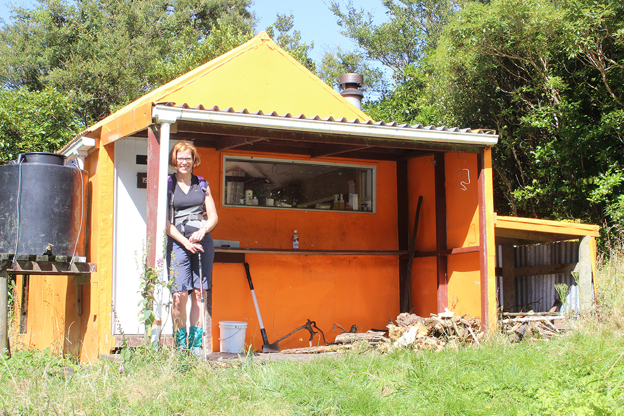
After about 15min, the route reaches a small side stream on the left (the true right of the river) revealing some pink tape tied to bushes. Head up this stream a little way to a large (very faded) orange triangle hidden behind a tall shrub. A short steep climb leads to a terrace, and within a couple of minutes Stanfield Hut, a very tidy eight-bunker, is reached.
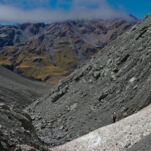
There are options for the return. This route follows the river, which in dry months will likely be mostly dry. The route criss-crosses the river more than 60 times, so in higher water flows it would be best to try a different route. The riverbed is fairly wide, quite barren and coated in weeds, including plenty of willow. But looking up the sides of the valley, surviving native giants such as rimu and kahikatea break the skyline with their grandeur.
Further down the river, the bed narrows with more obstacles. Staying close to the river will ensure you stay on track, and eventually there’s a big orange triangle that marks the track back up to the picnic area where the trip began.


34 years of inspiring New Zealanders to explore the outdoors. Don’t miss out — subscribe today.

Questions? Contact us