St Arnaud Range Tarns

Read more from

Tarns on the St Arnaud Range. Photo: Richard Raynor

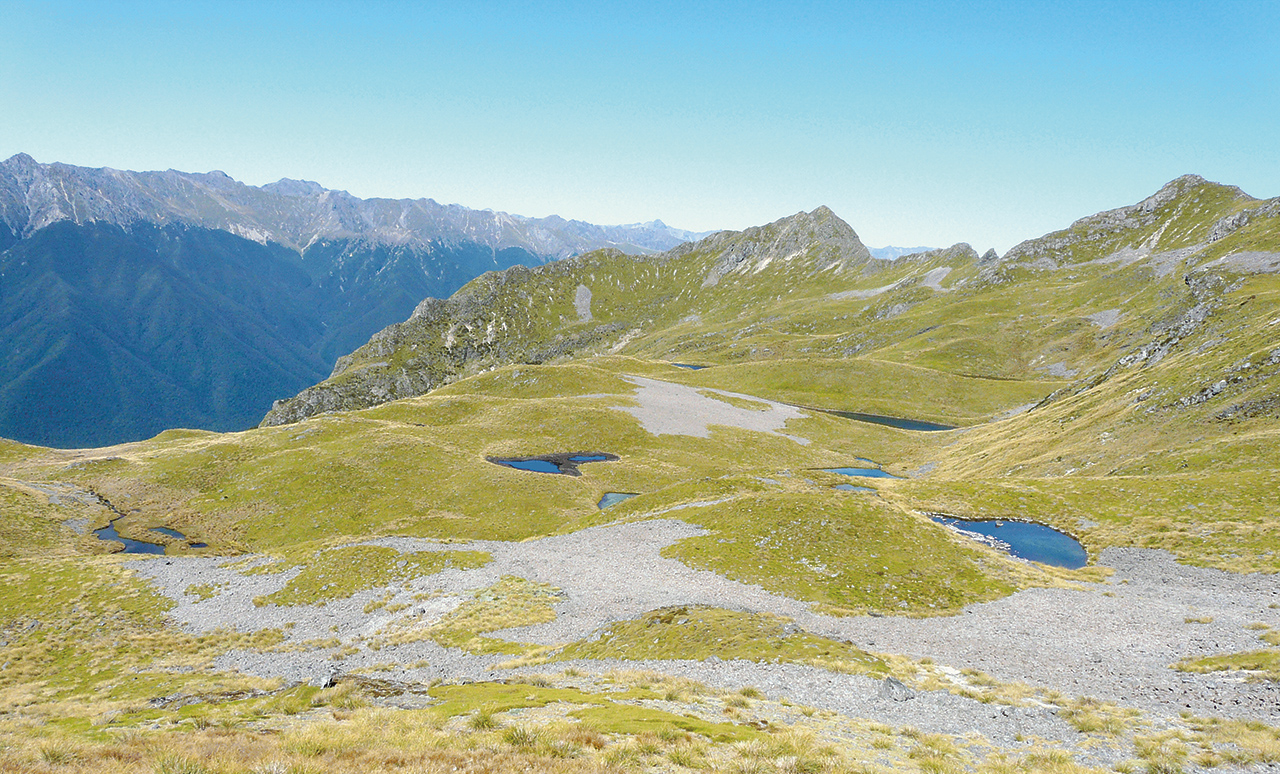
A trip to the tarns of the St Arnaud Range, where there is great camping, will also showcase the work done by DOC and Friends of Rotoiti to eradicate pests and boost bird numbers around Lake Rotoiti.

The track winds its way from Kerr Bay steadily up a spur to the St Arnaud Ridge, with views of the lake, Mt Robert, the Travers Range and Mt Arthur framed by beech, astelia and mistletoe.

Opportunities for longer trips in the region abound.

Distance
6.1km one way
Grade
Moderate
Area
Nelson Lakes National Park
Time
4hr
Access
From the car park at the eastern side of Kerr Bay, Lake Rotoiti in the Nelson Lakes National Park
Map
BS25

GPX File

St Arnaud Tarns (gpx, 5 KB)

GPX File

Your device does not support GPX files. Please try a different device.
Alistair Hall

About the author

Alistair Hall

More From Trips

More From Trips

Similar Articles

FMC condemns approval of hydro scheme in pristine West Coast river

Thanks, BCT!

DoE a great part of school life

Mt Peel, Kahurangi National Park

Rough Creek tarn, Nelson Lakes National Park

Farewell Spit Walk, Farewell Spit Nature Reserve

Trending Now

The 2026 Wilderness Outdoor Photographer of the Year competition

Otamatapaio Hut, Oteake Conservation Park

Why we’re putting on weight

Dirt bike trial on Tongariro Northern Circuit gets approval

A lofty location for Brass Monkey

Subscribe!
Each issue of Wilderness celebrates Aotearoa’s great outdoors — written and photographed with care, not algorithms.Subscribe and help keep our wild stories alive.

Join Wilderness. You'll see more, do more and live more.

Already a subscriber?  to keep reading. Or…

34 years of inspiring New Zealanders to explore the outdoors. Don’t miss out — subscribe today.

Your subscriber-only benefits:

All this for as little as $6.75/month.

1

free articles left this month.

Already a subscriber? Login Now