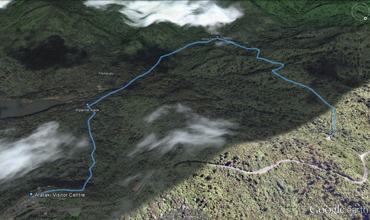
Only a 6km drive from Titirangi, the Slip-Pipeline-Incline Track loop offers an easy half day hike for city dwellers short on time.
It’s possible to start the trip either at Arataki Visitor Centre or at Greenwoods Corner, a gated service road at the Incline Track end about 1.5km west of the visitor centre.
It’s safest, especially if you have kids, to park a second return vehicle to avoid having to walk along narrow Scenic Road which has no footpaths and attracts fast drivers. To provide an alternative to road walking, the Auckland Council is considering creating a new track that would start opposite Greenwoods Corner, at Rangemore Track and would connect to Arataki Nature Trail.
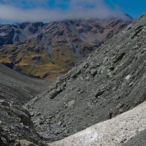
The route described here starts at the visitor centre from where the Slip Track winds downhill for about 900m until it reaches Pipeline Track which is about the same length. From the end of Slip Track to the start of the tramline at the top of Incline Track, most of the trail consists of sometimes slippery, root-ridden clay with pockets of the usual Waitakere mud. It’s especially slippery walking up or down Incline Track.
Just before the end of Pipeline Track and the start of the Lower Nihotupu Dam Road, a bridge passes over a stream with a good sized swimming hole and a healthy community of eels.
After here, the dam road continues for about 500m before a second bridge passes over another stream at the start of Incline Track.
Now begins the climb of Incline Track. When you just about reach the top of the steepest section, there’s a massive kauri on the left of the track.
From here, the track flattens and merges with the Nihotupu Tramline on which Watercare runs its public Rainforest Express train. The tramline was built in the early 20th century for the construction of the Waitakere Dam. The tramline passes Hauler Tunnel and goes over two wooden bridges above deep gorges and, further on, through tunnels with hundreds of glow worms. The Nihotupu Pipeline runs next to the tramline, transporting water from Upper Nihotupu Dam to Titirangi.
It’s an easy walk along the tramline to Greenwoods Corner.


34 years of inspiring New Zealanders to explore the outdoors. Don’t miss out — subscribe today.

Questions? Contact us