Head through regrowth forest along the clifftop before a steep descent takes you on to Bluecliffs Beach.
It takes a good hour to get from the Waikoau River to the western end of the beach, and then a short walk on the remains of the road to the boundary of Fiordland National Park and the start of the track proper.
As much of the South Coast Track is now part of the Hump Ridge Track, it’s seen quite a bit of development in recent years, and the legendary mud is largely no more. So, a quick walk takes you to the bridge over Pipi Tuariki Stream (known locally as Flat Stream), past the turnoff to the ascent to Okaka Hut and down onto Blowhole Beach. The track crosses a couple of small headlands, which can be bypassed at low tide, before reaching O Hoka Stream.
This is the decision point for choosing a low tide route along the stunning beach or the slightly longer inland route to Port Craig.
From here, it’s a little over an hour to the Sand Hill Viaduct, and another 10 minutes to Percy Burn, the site of probably the largest surviving wooden viaduct in the world. It’s 125m long and 36m high. The viaduct is now closed and an alternative track has been built through the gully.
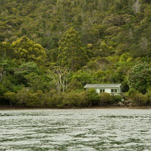
The hut at Percy Burn has 18 bunks around a single room, and a wetback feeding a shower.
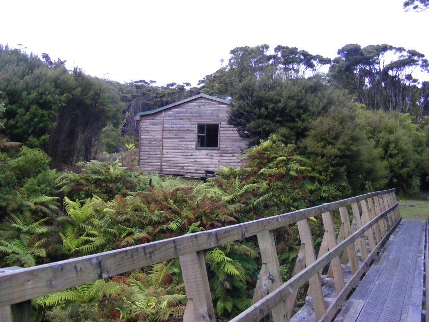
March the final two and half hours along the tram track to the DOC hut on the banks of the Wairaurahiri, crossing the viaducts at the Edwin Burn and the Francis Burn.
A swingbridge (complete with possum-proof gate) takes you across the river, where it’s 10 minutes downstream to Waitutu Lodge, a slightly more upmarket alternative to the DOC hut.
There are several ways to return from here, including taking the Tuatapere Hump Ridge Track or even catching a jet boat to Lake Hauroko.


34 years of inspiring New Zealanders to explore the outdoors. Don’t miss out — subscribe today.

Questions? Contact us