An overnight hike that captures the solitude, big sky and subtle beauty of the high country.
If you are new to tramping or have a family, an overnight hike to Otamatapaio Hut provides a real high-country adventure with minimal effort. The valley track lends itself to those who are looking to build their outdoor experience. The route does require three river crossings, however, so a keep a keen eye on the weather.
Turn off SH83 onto Backyards Road near Sailors Cutting, some 30min west of Kurow,
and follow it for about 2km to the signed Otamatapaio Track. There is parking here for 2WD, or with 4WD (and to cut about an hour off the walk) continue for a further 5km to a second car park on a terrace just above the river.
From the 2WD car park (shown on map) it is 12.5km along the Otamatapaio Easement to the Oteake Conservation Park boundary and then a further 2.5km to the hut.
The route follows a well-graded and poled 4WD track all the way to the hut. Cattle and sheep graze the lower reaches of the valley, so leave all gates as you find them.
The first of two old huts, Otamatapaio Stone Hut, is tucked into the hillside where the valley begins to narrow opposite Baldy Knob (Pt1205m), 7.5km from the 2WD car park, and marks the halfway point. It is a great location for a break.
Privately owned Blue Hut is a short distance away at the confluence with Alfreds Creek. This turquoise wooden hut has a dilapidated long-drop made from an old phone box.
Beyond here three crossings of Otamatapaio River are required, along with a couple of
side creeks, as you zigzag your way into the upper valley. In good weather these are no more
than knee to mid-thigh deep on an adult.
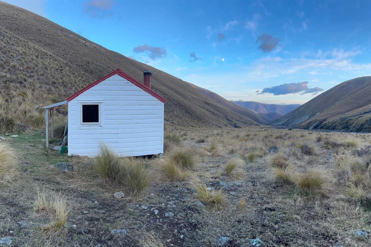
At Dog Gully a sign indicates a further 4km to stark-white Otamatapaio Hut, which is visible, perched on a tussock bench above the river, about 1km before you reach it. Originally built as a musterers’ hut Otamatapaio Station, the building was extensively renovated by DOC in 2005 and a log burner added.. No wood is supplied, however, and there is little about, so carry your own in if you wish to have a fire.
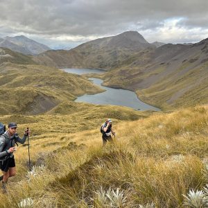
For those with more experience or time to explore, a poled track heads up the gully to the Hawkdun Range tops.
Enjoy the expansive views down the valley and return the way you came.