At the south-western tip of the Waitakere Ranges, at the mouth of the Manukau Harbour, lies the much weather- and ocean-beaten Whatipu. This beach is a great example of how quickly the coastline can change with rough seas on its doorstep. An image close to the present-day beach shows how dramatically the shoreline has changed […]
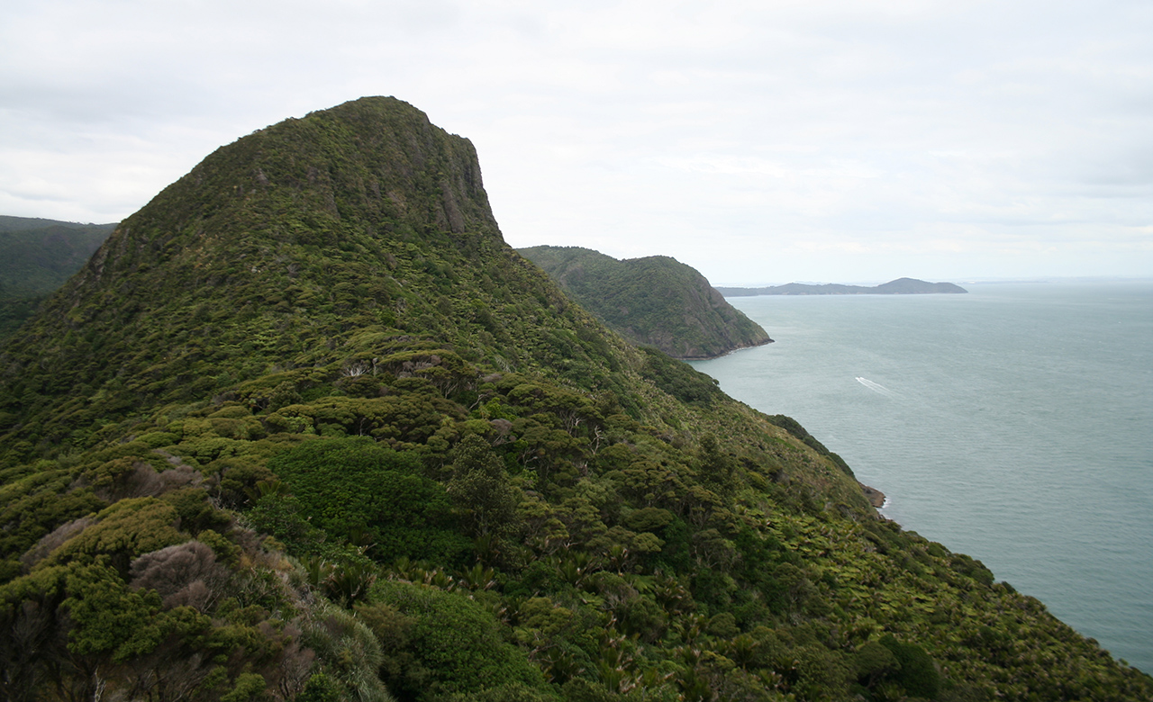
Pararaha Valley–Whatipū Beach Loop, Waitākere Ranges Regional Park
Trending Now
The 2026 Wilderness Outdoor Photographer of the Year competition
A tale of adventure and tragedy
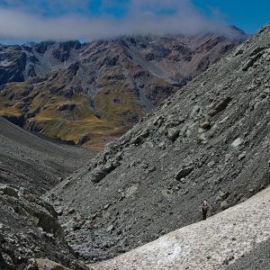
Mt Peel, Kahurangi National Park
The trail of the tenacious
A lofty location for Brass Monkey
Subscribe!
Each issue of Wilderness celebrates Aotearoa’s great outdoors — written and photographed with care, not algorithms.Subscribe and help keep our wild stories alive.