Rising just high enough for an entry-level taste of altitude and only 90-minutes from Christchurch sits Mt Alford.
It’s a worthwhile day hike with the easy track rising gradually through regenerating beech forest and up through steeper sub-alpine tussock to the 1171m summit.
The opening portion of the track rolls through a frosty, damp forest with a few small streams carving their way towards their bigger, braided cousins on the plains.
After moving out of the lower portion of the scenic reserve, the view opens up from between the trees to reveal the first look at the expanse of the Canterbury Plains.
This middle section of the track rises more quickly and is mainly through private paddocks.
After squeezing through a few gates and working your way back onto conservation land, there’s a picnic spot complete with an old table and the first view of the inland mountains across the North Branch of the Ashburton River.
The track then climbs at a steeper rate through tussock.
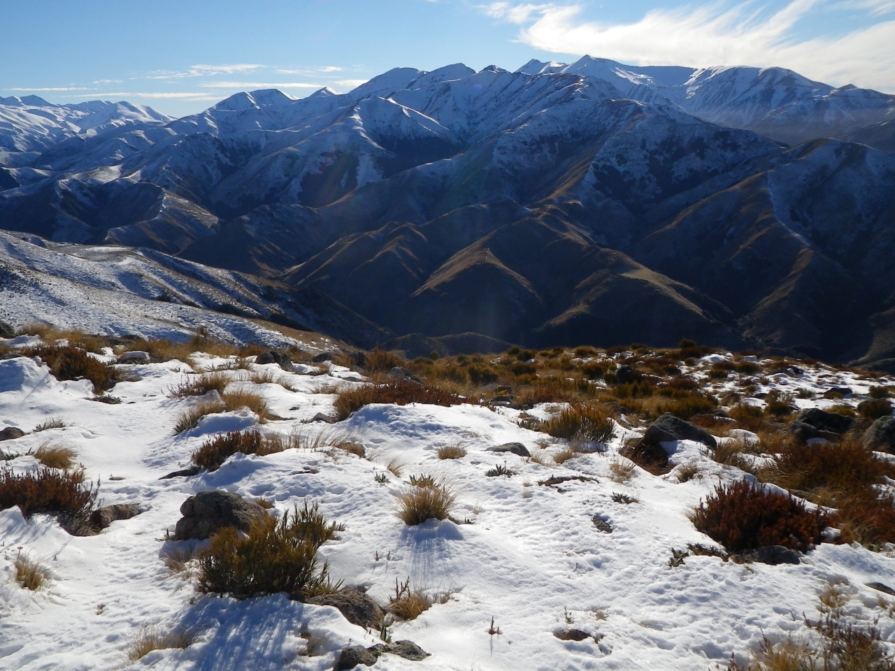
The summit supports more tussock with a few larger rocks big enough to stand on for an extended view along the Alford Range into the alpine peaks beyond.


34 years of inspiring New Zealanders to explore the outdoors. Don’t miss out — subscribe today.

Questions? Contact us