A poled track crosses Moorcock Stream then heads north on the true left bank through paddocks before swinging west towards the tops through regenerating scrub. It’s about an hour to the ridge crest and track junction from the forest edge, where you turn left towards Longview Hut. A sign indicates 30 minutes, but it can […]
The 2026 Wilderness Outdoor Photographer of the Year competition
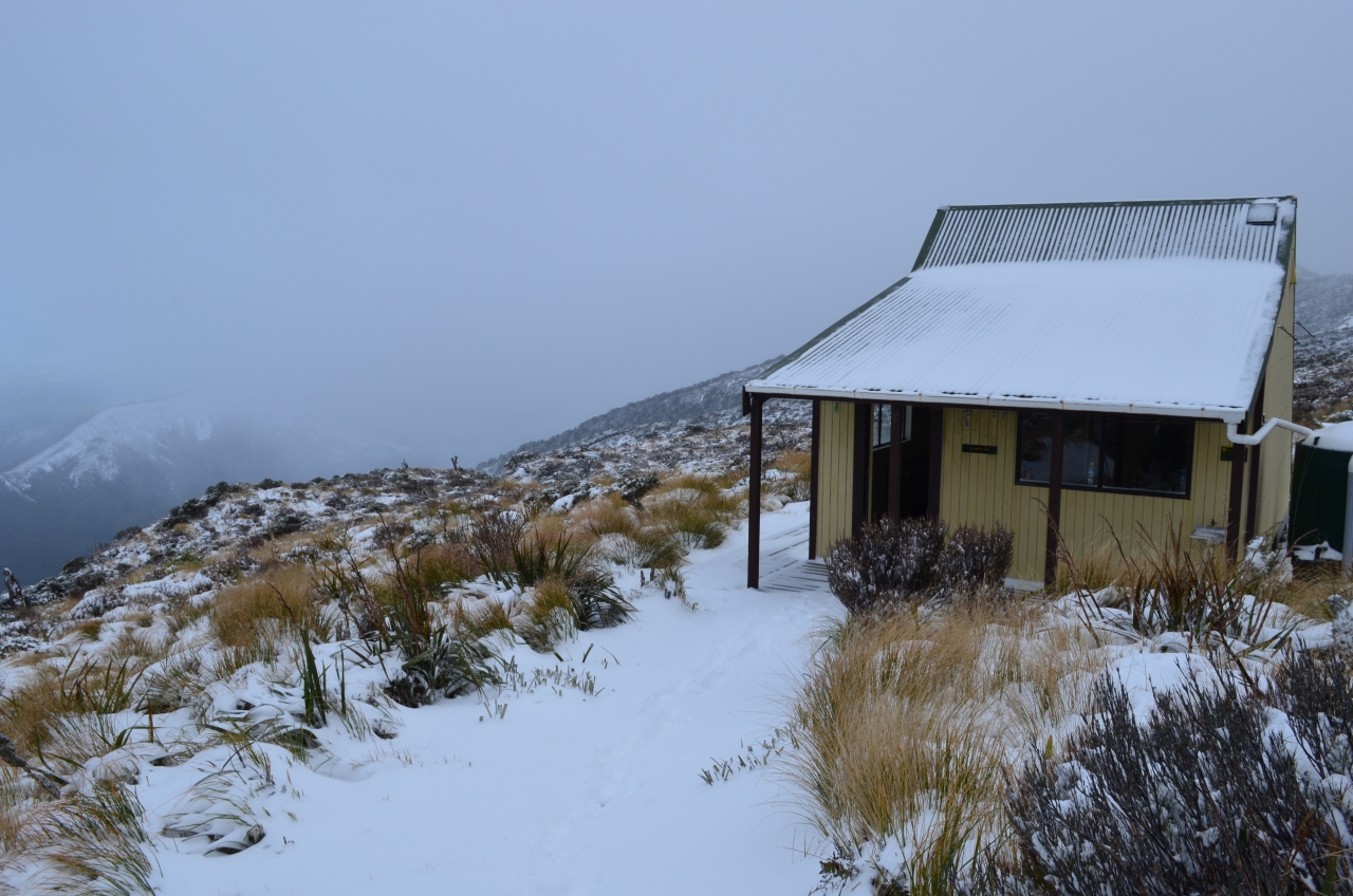
Otamatapaio Hut, Oteake Conservation Park
Dirt bike trial on Tongariro Northern Circuit gets approval
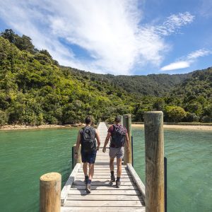
A majestic coastal walk
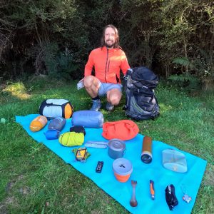
Adventurer and author Dunc Wilson
Subscribe!
Each issue of Wilderness celebrates Aotearoa’s great outdoors — written and photographed with care, not algorithms.Subscribe and help keep our wild stories alive.