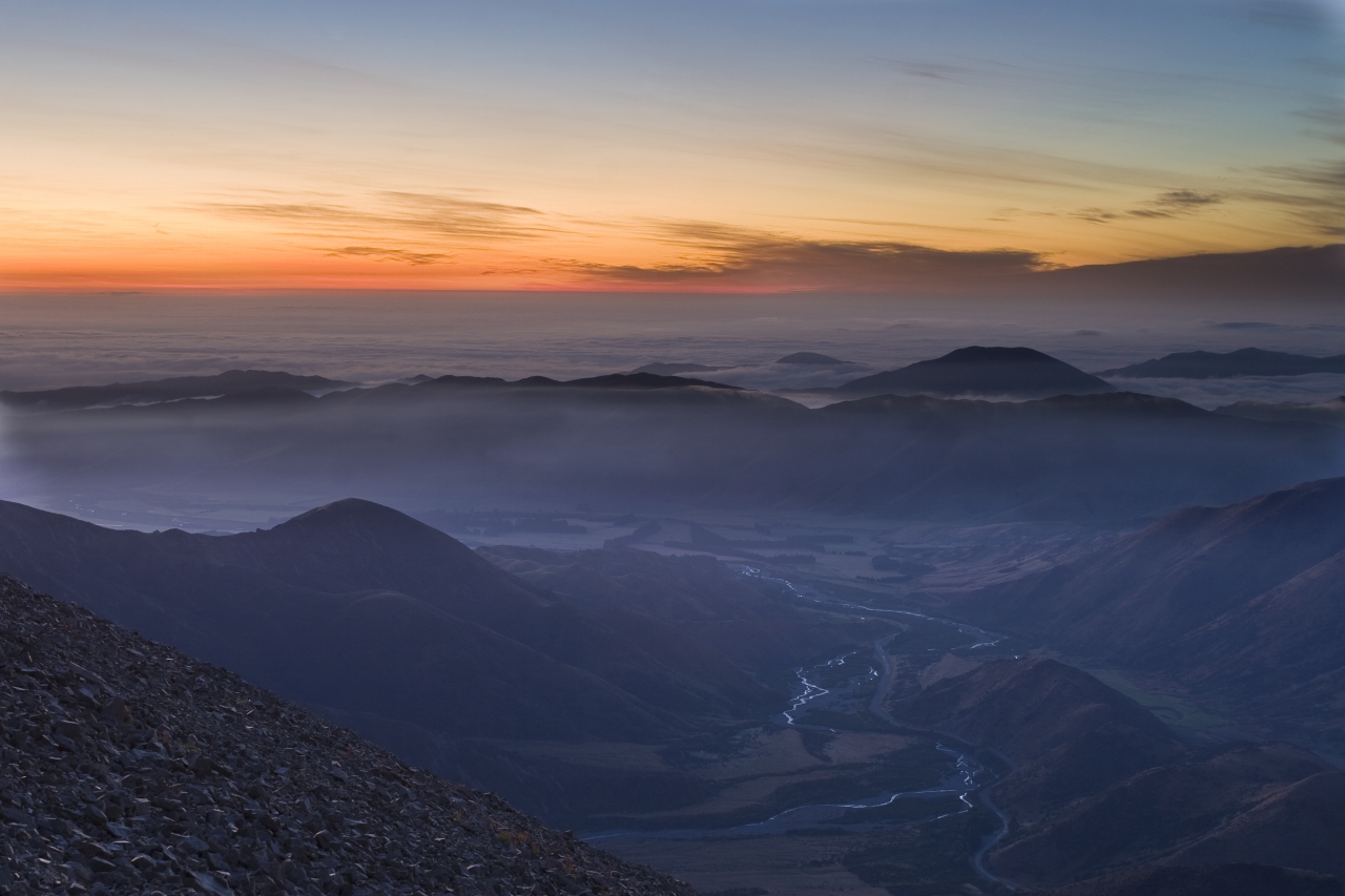
South of SH73 lies the gentler, tussock-covered rounded tops of Ben More and the Big Ben Range, while north sits the more rugged rock and scree slopes of the Torlesse Range and the goal: Foggy Peak, a 1741m summit.
At 942m, Porters Pass provides the ideal launching pad for the climb. The ascent is straightforward. The ridge is broad and a well worn foot trail winds its way steadily upwards. Numerous cairns mark the trail and would be useful if you were caught returning in misty conditions. The route is reasonably steep, with little respite. A grand spectacle awaits those who make it to the summit.
Ahead, the ridge leads on to Castle Hill Peak, the highest point on the range and a worthy day trip for those with more time. The eye roves westwards to the southern end of the Craigieburn Range, then moves around looking south across the complex hills and waterways of the Coleridge region and on to the Hutt Range beyond the Rakaia River.
Away to the east, the topography falls away to the flat, patterned land of the Canterbury Plains.


34 years of inspiring New Zealanders to explore the outdoors. Don’t miss out — subscribe today.

Questions? Contact us