Note: Permission from the landowner required. Contact DOC Te Anau (03) 249 7924 for details
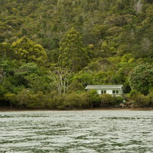
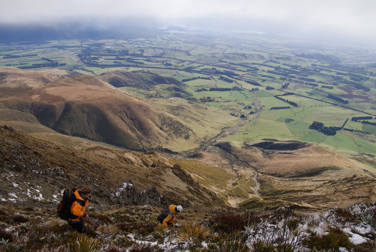
When driving the Te Anau-Mossburn Highway, your eyes are drawn to the south where the Takitimu Mountains tower above the surrounding farmland. Those who venture up one of these peaks in good weather are rewarded with fabulous views of lakes Te Anau and Manapouri and the Southern Alps stretching along the horizon.
Excelsior Peak is situated at the northern end of the Takitimu Mountains, between the Mararoa Valley and Whare Creek. It’s an open ridge walk ascending from farmed hillsides to alpine tops. Access to Excelsior Peak is through a farm and anyone wanting to climb this mountain must have the owner’s permission to cross it. Begin by crossing the farm to the spur, following a farm track.
Cross the fence separating grassy farmland from the rest of the mountain, where red tussock, silvery celmisia, golden spaniard and burgundy-coloured dracophyllum compete with broom for space. After about two hours you’ll be nearing the ridgeline. It’s a real knife-edge ridge and provides a thrilling walk to the cairn-marked summit.


34 years of inspiring New Zealanders to explore the outdoors. Don’t miss out — subscribe today.

Questions? Contact us