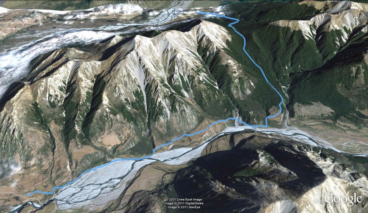
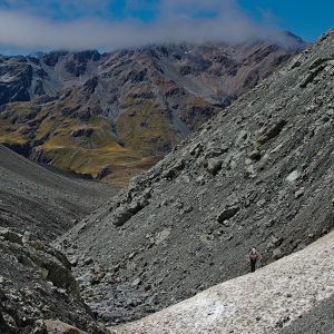
Hike up the Poulter river flats for 5.7km and to join the Binser Saddle Track. The hard work begins in earnest now – the track climbs 800m to the saddle at 1085m. Once there, it’s just as steep on the descent to the Waimakariri. There are superb views to be had of the golden river […]
The 2026 Wilderness Outdoor Photographer of the Year competition
Why we’re putting on weight
Subscribe!
Each issue of Wilderness celebrates Aotearoa’s great outdoors — written and photographed with care, not algorithms.Subscribe and help keep our wild stories alive.