Walking Auckland’s multi-day Hillary Trail is a goal of many but who says you have to do it all in one go when walking bite-sized sections can be just as satisfying a way to complete the trail.
The section from Craw Campground on Anawhata Road to Bethell’s Beach takes in much of the diverse landscape the Hillary Trail is becoming famous for: stunning coastal views, swimming holes, dense bush, huge kauri and even a bit of farmland.
The track begins with a short walk over a farm before entering regenerating bush and descending to Perihi Stream on the Kuataika Track. After crossing the stream, the track climbs steeply to join Smyth Ridge Track. This feels like a gut-busting climb but only totals about 220m of ascent. It feels worse than it is because it’s basically straight up and the track is fairly wide, just like an old 4WD track, and there isn,t much shade from the sun.
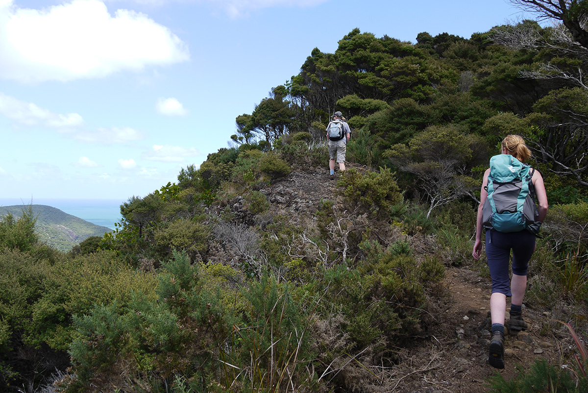
Once on Smyth Ridge, things become a whole lot easier as the track undulates easily to the next section. It’s worth taking a pause on the ridge to detour to Kuataika Trig for a break and to receive some welcome fresh air. The trig offers outstanding views of the coast, all the way north to Bethells and beyond. For those walking the Hillary Trail, you can look back to where you have come from and where you have yet to go.
At Wainamu Junction, take the left-branching Houghton Track which drops steadily, past several nice-looking kauri, to Lake Wainamu and the Lake Wainamu Track. At the eastern end of the lake is a small waterfall and swimming hole.
Lake Wainamu Track skirts the lake and then joins a gravel road for the final kilometre to the road end.Walkers are now left in a bit of a bind. Their vehicles are 11km walk away on Anwhata Rd. Either double back the way you came or, if you’ve planned ahead and have left a second vehicle at the Bethells track end, you,ll have a 30-minute drive back to the track start.
There are several trigene stations on this walk. Stop and clean your shoes at each station to ensure you don,t spread kauri dieback disease.


34 years of inspiring New Zealanders to explore the outdoors. Don’t miss out — subscribe today.

Questions? Contact us