


The classic tops route in Mt Richmond Forest Park.
Read the full story about this trip: Peak-hopping in the Richmonds
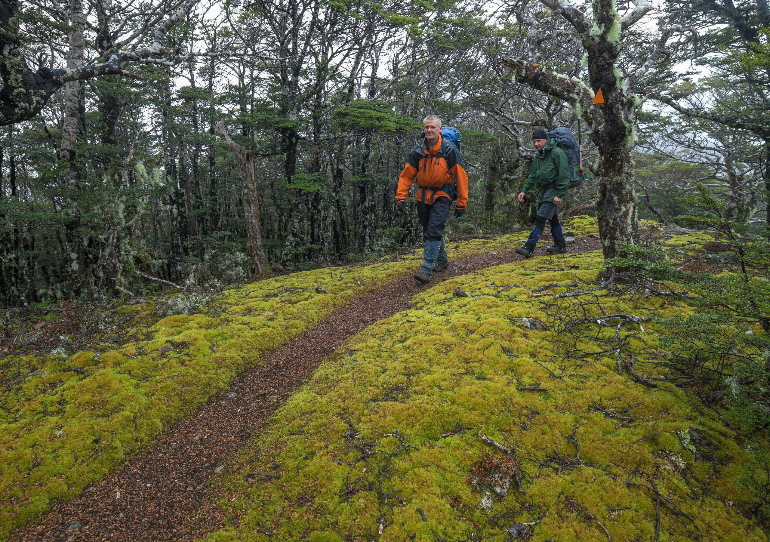
From the car park, pine forest dominates the track as far as Hacket Hut. Markers lead up Hacket Stream, which is crossed in places. From here, the Alpine Route climbs high and stays high until the Wairoa Valley.
The steep track past Pyramid Rock is testing on the way to Starveall Hut.
An initial climb crosses scree slopes, and soon becomes a winding path through beech forest.
On the south-facing slopes, walkers may find snow among tussock on the way to Slaty Hut.
From here the track leads to Old Man, following a horseshoe route around the valley. The route weaves through undulating terrain, before a descent onto a forested saddle, then onto the easy tops of Ada Flat.
A track junction is followed from here to Old Man Hut.
A climb leads through dwindling beech forest towards Little Rintoul. From the bushedge, crampons may be required, but as the track ascends, the Alpine Route appears.
Scramble up a rocky wall and negotiate a narrow, broken section of ridge onto the summit of Little Rintoul. Crags prevent a direct traverse of the ridge crest, so the route leads steeply down a gully, almost as far as the bushline, into the gap between the twin mountains.
Ahead is the 250m climb to Mt Rintoul, the highest point on the Alpine Route.
Avoiding a rocky ridge requires a steep descent into a gully, and the final descent to Mt Rintoul Hut entails a scree descent.
The track crosses the last peak of the route – Purple Top – before descending to Tarn Hut and soon Mid Wairoa Hut, beside the Wairoa River Left Branch.
The walk out along the narrow valley track is challenging, narrow, and barely benched at all. It sidles steep country, sometimes above bluffs, and in places requires care over sloping shelves of schist above the river.
The track soon peters out onto a forestry road, and after passing the Wairoa Valley Mountain Bike Park, the public road is reached.
- Distance
- 54.4km
- Total Ascent
- 4529m
- Grade
- Difficult
- Time
- To Hacket Hut, 1.5-2hr; to Starveall Hut, 4-4.5hr; to Slaty Hut, 2.5-3hr. To Old Man Hut, 5hr; to Mt Rintoul Hut, 6-6hr; to Tarn Hut, 5hr; to Mid Wairoa Hut, 2.5-3hr; to Wairoa Gorge Road, 4-5hr
- Access
- Aniseed Valley Road, at Hackett Track trailhead
- Map
- BQ26, BQ27, BR25, BR26
GPX File
- Alpine Route (gpx, 40 KB)
GPX File
- Your device does not support GPX files. Please try a different device.
