

The Farm Loop begins with a steep climb from the car park over a hill liberally-dotted, like every other square inch of the park, with sheep droppings. Though the highpoint here is just 86m, views from the top and along the ensuing ‘ridge’ are really worthwhile. The park juts into the Tamaki Strait, so all around is water and out front are the islands of the Hauraki Gulf. Waiheke is to the north and Ponui, an island not usually seen from other parts of Auckland, looms large dead ahead. The view is equally interesting to the south, where the countryside beckons and it’s hard to believe that the suburbs of Auckland are just 10 minutes’ away.
The landscape was an arid brown on my most recent trip, the result of weeks without rainfall and a stark contrast to the lush green I experienced during a winter visit last year.
Just after the trig station, we took the left-branching Coastal Track to visit Sandy Bay. The bay, which is more gravelly than sandy, is reached in less than 10 minutes.
Huge pohutukawa grow right on the beach and on the hot day we visited we welcomed their shade and the cool water was a delight to swim in.
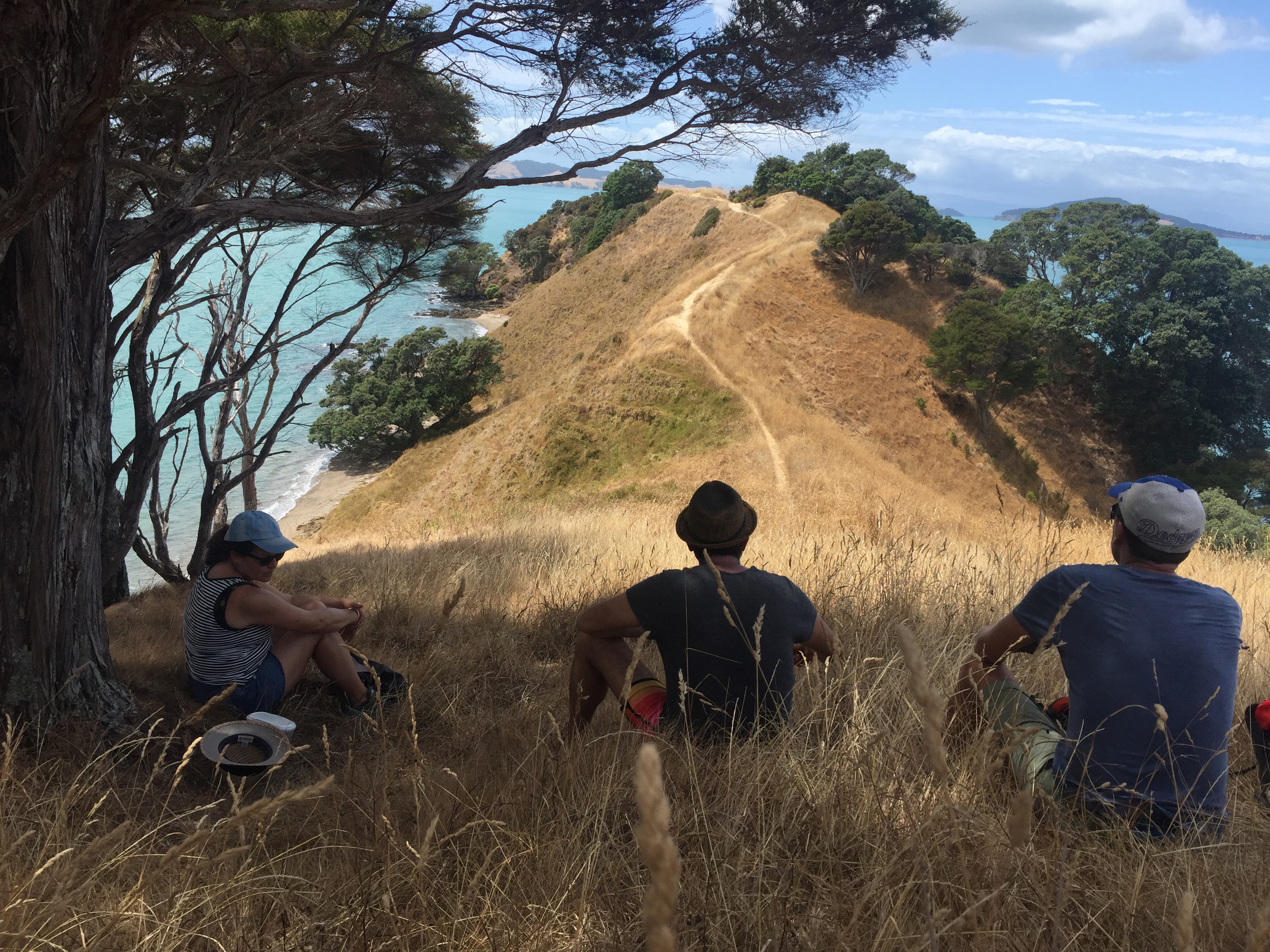
Back on the Farm Loop, it took about 15 minutes to reach the Whakakaiwhara Pā Walk – the best trail in the park – which leads sinuously, though not quite along a knife-edge, out to Whakaiwhara Point where walkers climb a small mound to gain the point and truly dramatic views of the gulf and its islands. Close your eyes here and it’s easy to imagine you’re at some distant corner of the country. We climbed among the branches of an ancient pōhutukawa, relishing the shade and isolation.
We rejoined the Farm Loop and crossed more paddocks to reach Te Waipokaia/Duck Bay. A road here leads back to the car park alongside a wetland area. It was shaded and welcome relief from the sun.


