
The rock pillar of the Te Whara summit rises a near-vertical 476m above the sea. From this sheer vantage point, you get some of the best coastal views in Northland.
The Te Whara Track, located in the Bream Head Reserve near Whangarei, is a challenging day walk that follows a 700-year old Māori trail past remnants of Second World War paraphernalia, through thick coastal forest.
As a one-way track, it’s easiest to tackle this walk with two vehicles, so you have transport at each end. If you’re going solo, the walk from one end of the track to the other via the road is an additional 4.5km.
You can hike the track in either direction but starting at the Ocean Beach end is marginally easier.
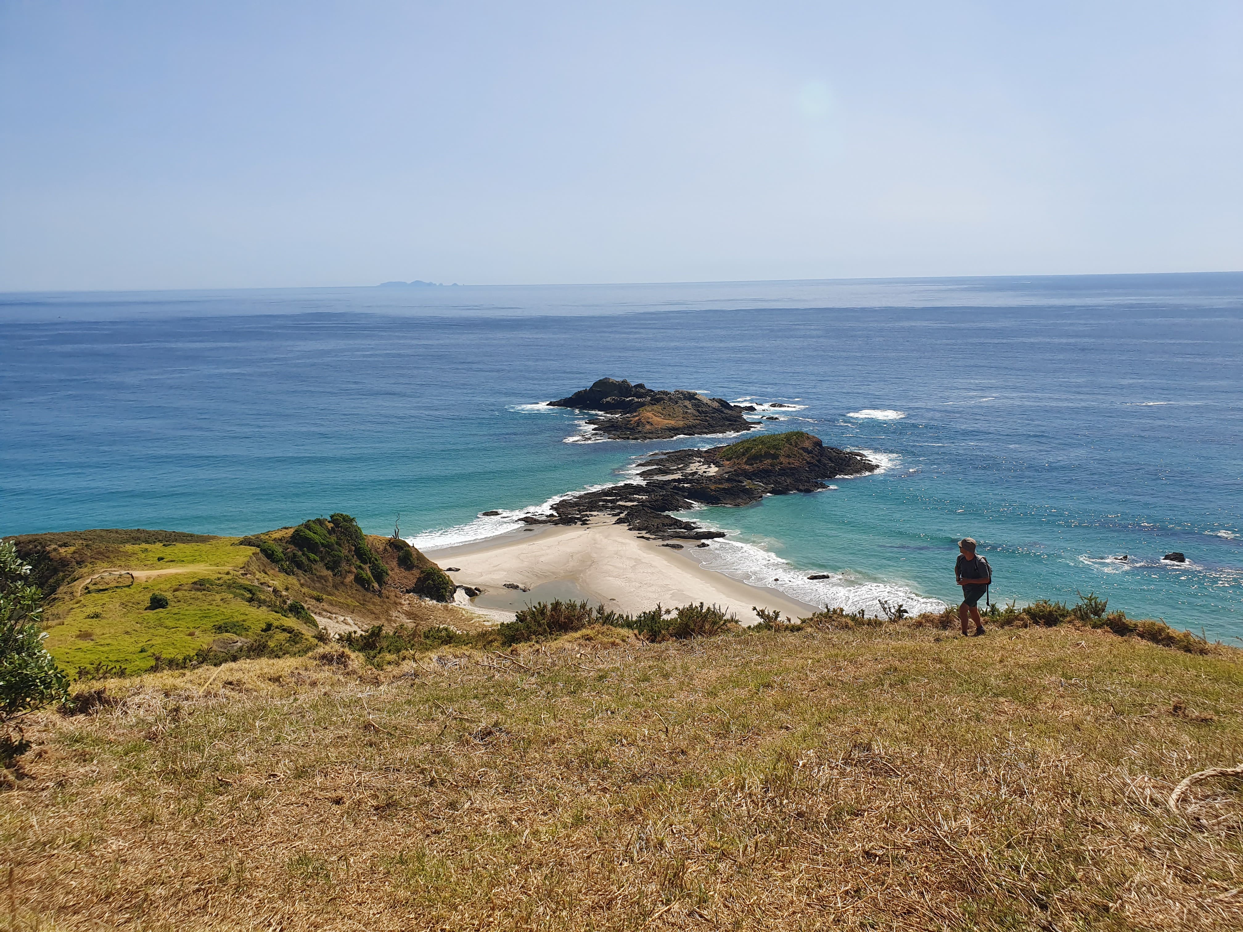
From the Ocean Beach car park, the track climbs steadily uphill across open grassy hillside. For most of the way there are no switchbacks, so it can be a challenging ascent.
Each time you stop to catch your breath, you’ll have clear views out to sea.
About 45 minutes into the walk, the track arrives in a clearing with a picnic table where you can pause to rest and enjoy the view. From here, a short track detours through the regenerating bush to a wartime radar station. It was built in 1942 to take advantage of the strategic location with a view of all boat traffic passing in and out of Whangarei Harbour.
As the trail continues to climb, the coastal rainforest becomes more impressive, laced with thick supplejack and dense with ancient puriri trees which stretch their gnarled roots across the path. After another 30 minutes, the summit of Te Whara is reached.
Don’t miss the narrow track that veers off to the left and leads to the rock pillar.
With sheer drops on three sides, scrambling up the rocky peak isn’t for the faint-hearted. The 360-degree panorama is worth it, though – on a clear day, views extend north across the bright blue ocean to Cape Brett and as far south as Tāwharanui Peninsula. Out to sea are the Hen and Chicken Islands, as well as Little Barrier and the Poor Knights Islands.
The track continues along the apex of the ridge, undulating gently through the bush.
Occasional rock formations, remnants of the area’s volcanic past, provide convenient lookout points and rest stops.
These rocky outcrops plunge precipitously to the ocean, so exercise caution if climbing them.
Roughly halfway along the ridgeline is the turn off for Peach Cove Hut. In the summer months, this is a worthwhile detour to the eight-bunk hut next to a stony beach. This is a quiet spot to cool off and enjoy lunch. (The price for popping down to Peach Cove is the steep climb back up more than 800 steps.)
From the Peach Cove intersection, the track continues along the blade of the ridge to Matariki/Mt Lion (395m). From this summit, the trail descends steep but well-maintained stairs. On the way down, the striking ivory crescent of Smugglers Cove makes a great distraction from the many steps.
At the bottom, turn right and head straight to the Urquharts Bay car park and the end of the track or turn left for a side trip to the crisp white beach of Smugglers Cove.
– Petrina Darrah
34 years of inspiring New Zealanders to explore the outdoors. Don’t miss out — subscribe today.

Questions? Contact us


