See more… watershed peaks

June 2016

Read more from

June 2016

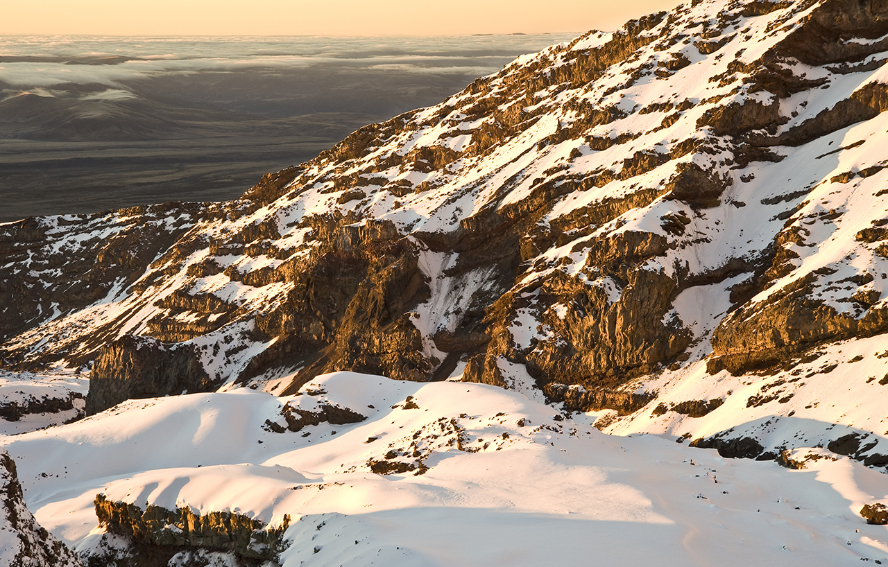
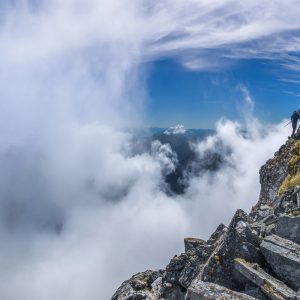
The Whangaehu River is one of three originating on Mt Ruapehu. Photo: Shaun Barnett/Black Robin Photography

Four peaks that form the headwaters of multiple rivers

Mountains form the dividing point of river headwaters and it’s for that reason the Southern Alps are called the ‘Main Divide’. Similarly, the axial ranges of the North Island – the Raukumara, Urewera, Kaweka-Kaimanawa, Ruahine, Tararua and Rimutaka – form a major watershed too.

Ever had the experience of standing on a summit, one foot in the headwaters of a major river, and the other foot in the headwaters of an entirely different catchment? Many major New Zealand rivers begin their journey on the flanks of a mountain, then writhe through gorges before emerging onto the lowlands and eventually disgorging into the sea. While many mountains are the source of two major rivers, far fewer form the headwaters of three or more. Here are four watershed peaks that do.

Arete, Tararua Forest Park

Arete (1505m) is one of the few summits in the Tararua Range to crack the 1500m mark. It’s a prominent, pyramid-shaped summit in the northern half of the range, and from its flanks spring five major North Island rivers: the Mangahao, Ruamahanga, Waingawa, Waiohine and Otaki. Tramping parties tackling a Northern Crossing often traverse the peak.

Mt Ruapehu, Tongariro National Park

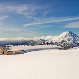
From the snows of the North Island’s highest mountain emerge three of the country’s major rivers: the Tongariro (later Waikato), Whanganui and Whangaehu. Ruapehu, of course, is one of the most popular mountains in the country. Several routes lead onto its 2797m summit, easiest of which begins from Whakapapa Ski Field.

Belvedere Peak, Nelson Lakes National Park

Belvedere Peak (2114m) is a substantial summit straddling the boundary between Nelson/Marlborough and Canterbury. Draining its summit are tributaries that eventually become four major rivers: the Waiau, Wairau, Clarence and Buller. Easiest access to the peak is up the Clarence River from Lake Tennyson, or up the Rainbow and Paske rivers from the Wairau-Hanmer Springs Hydro Road.

Mt Aspiring/Tititea, Mt Aspiring National Park

Not surprisingly for a peak of such prominence and height, Aspiring is the watershed mountain for several major South Island rivers: the Waiatoto, Arawhata and Clutha. Strictly speaking, it forms the headwaters of the Waipara; not the Arawhata itself, but the Waipara is a major tributary of the Arawhata. The Matukituki flows into Lake Wanaka, and flows out of the lake as the Clutha River. While not a difficult mountain, Aspiring (3033m) should only be attempted by experienced climbers. Trampers can enjoy looking at it from afar at such places as Aspiring Hut, Cascade Saddle, Liverpool Hut and the track above Bledisloe Gorge.

Shaun Barnett

About the author

Shaun Barnett

More From See more

Similar Articles

Lake-edge retreat in St Arnaud

Tackling the Tākitimu

Diamond in the rough

Trending Now

Pearson Hut, Kirkliston Range

Takorika, Havelock Water Supply Reserve

Zion Hill Track, Waitākere Ranges Regional Park

A biking adventure to suit

Taking on the Tin Range

Subscribe!
Each issue of Wilderness celebrates Aotearoa’s great outdoors — written and photographed with care, not algorithms.Subscribe and help keep our wild stories alive.

Join Wilderness. You'll see more, do more and live more.

Already a subscriber?  to keep reading. Or…

34 years of inspiring New Zealanders to explore the outdoors. Don’t miss out — subscribe today.

Your subscriber-only benefits:

All this for as little as $6.75/month.

1

free articles left this month.

Already a subscriber? Login Now