A new track in the North Canterbury/Arthur’s Pass area offers the option of a half day trip or a two day journey across a section of Big Ben Station.
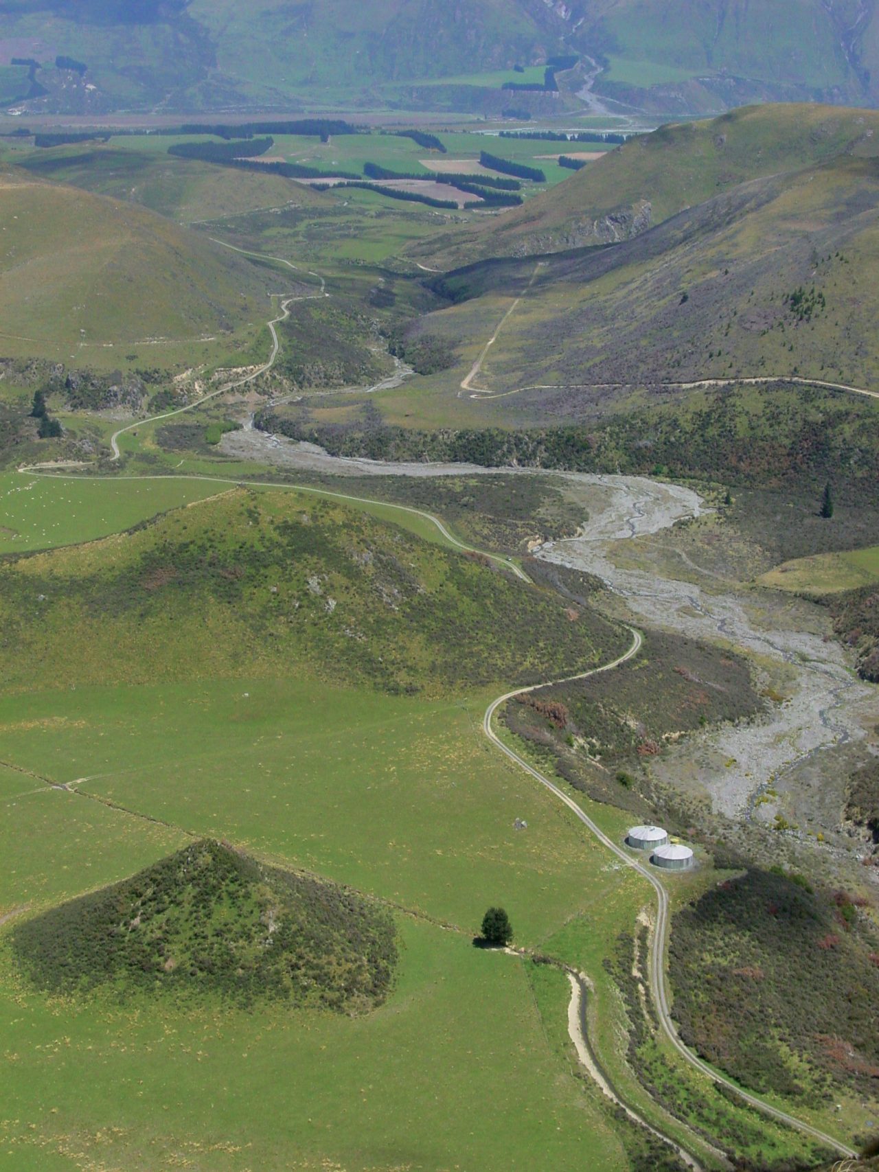
The track starts on Lake Coleridge Rd and follows the Dry Acheron Stream, taking about two hours to reach the bottom of the Big Ben Range.
The track offers short side trips to Clay Gulley and Conical Knoll, two covenant areas with native forest and rock formations.
Field centre supervisor for DOC Arthur’s Pass Chris Stewart said the official opening of the track was postponed due to the February 22 earthquake but it is now open to the public.
“From the bottom of the hill you can climb up the Big Ben Range and meet up after another two hours with the Korowai/Torlesse Conservation Park on top of the Benmore Range,” said Stewart. “You can walk up onto the range and over to 13 Mile Hut and make it a two day trip or make it a long day trip and walk right over the range to Porter’s Pass if you can arrange transport.”
The walk has been sign posted and marked and there is an orientation panel at the start.

34 years of inspiring New Zealanders to explore the outdoors. Don’t miss out — subscribe today.

Questions? Contact us


