


How far to go?

March 2014

Read more from

March 2014

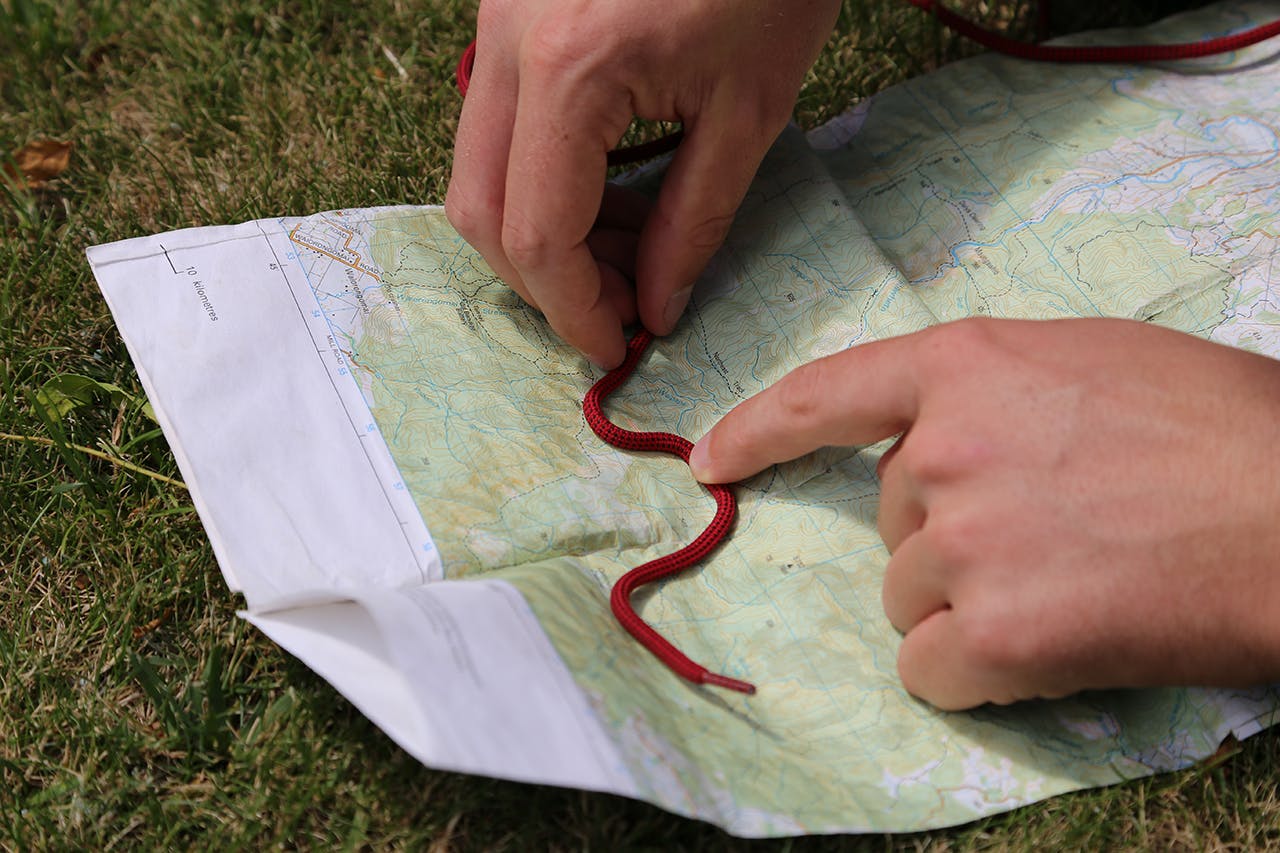
With a piece of string, or boot lace, you can measure distance on your map. Photo: Alistair Hall
This tip’s good if you’re out in the field without a GPS and you need to work out how far you have to go. All you need is a piece of string or, failing that, a boot lace.
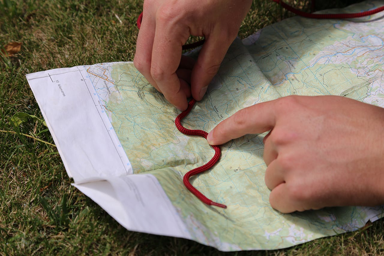
Photo: Alistair Hall

Starting from one end of the string, carefully lay it on the map following all curves in the track.
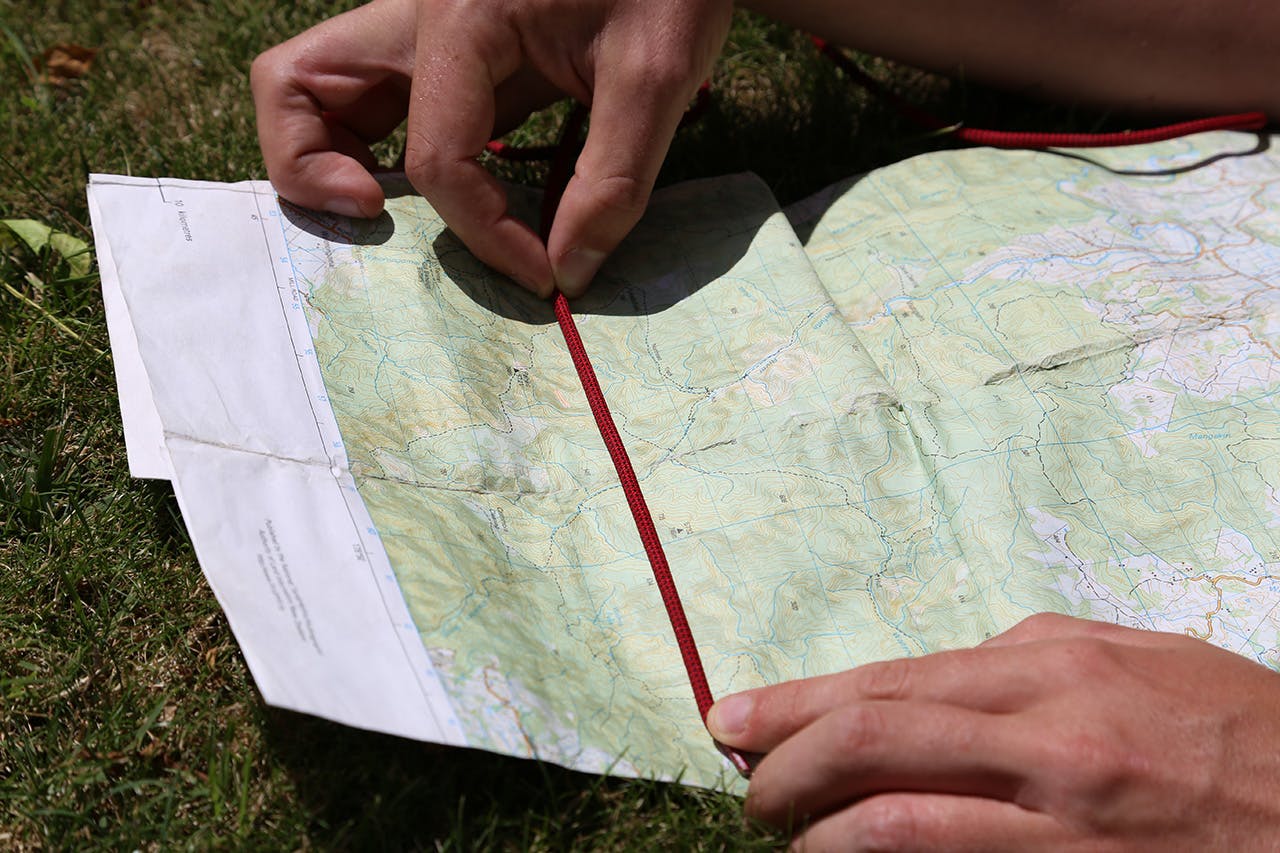
Photo: Alistair Hall

When you’ve finished, mark it on the string with pen or simply hold it at the correct point between finger and thumb. Lay it straight across your topo map using the grids to measure the distance (1 square = 1km).
Alistair Hall

About the author

Alistair Hall

More From Skills

Related Topics

Similar Articles

Taking the pain out of downhills

Weather: have you got the big picture?

How to clean your hiking footwear

Trending Now

Apply for the 2027 Shaun Barnett Memorial Scholarship

Boundary Creek Track, Hāwea Conservation Park

Orson Hopper Pro 2 Tent review

Review: Rab’s Neutrino -6°C provides high-performing comfort for the long game

The coach steps ashore 

Subscribe!
Each issue of Wilderness celebrates Aotearoa’s great outdoors — written and photographed with care, not algorithms.Subscribe and help keep our wild stories alive.

This article is exclusively for Wilderness subscribers

Already a subscriber?  

Subscribe to read this article immediately and unlock exclusive 10-15% discounts at NZ’s best outdoor stores. 
Cancel anytime. 

Website Subscription

Print + Website

1

free articles left this month.

Already a subscriber? Login Now