There’s a proposal to develop a new road along the route of the Wangapeka Track in Kahurangi National Park, which would connect Tapawera to Karamea, halving the driving time to Nelson.
To sample the track that some say is no place for a road, start at Rolling River, crossing a series of swingbridges and along river flats.
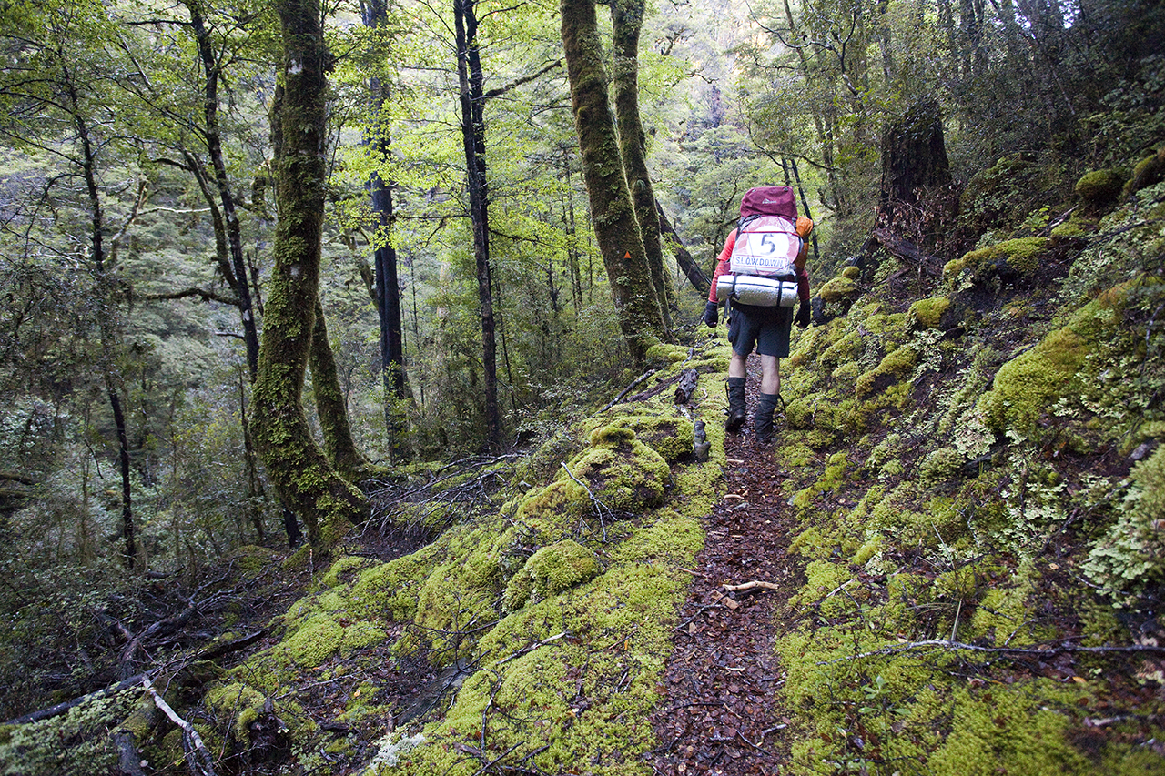
After an hour up the benched track, the trail becomes a rough route requiring scrambling over debris from a 2012 landslide. The skeletons of drowned trees punctuate a one-kilometre-long lake, as yet unnamed. Beyond this natural dam, the track follows the old gold diggers’ trail, skirting above small gorges.
The Wangapeka is one of eight sites developed to protect whio and about 60 birds live on the river.
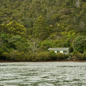
Stone Hut is situated at the valley head, and the track continues with a gentle ascent to Wangapeka Saddle.
From the saddle, the track continues to a walkwire above Chime Creek, then the track spills out onto the Karamea River headwaters.
Follow the headwaters to a high-wire bridge to Helicopter Flat Hut.
From the hut, traverse the valley wall on a good, benched path to a signposted junction. Here, remnants of Jonathan Brough’s tabernacle – an A-frame shelter – lay testament to his track-building efforts in the late 1890s.
Further along, a swingbridge heads up the Taipo River. A benign section of trail cuts a path through forest over ancient river flats to the 16-bunk Taipo Hut.
From Taipo there is a quick initial climb to the two-berth Stag Flat Shelter then on to Little Wanganui Saddle with views to the distant Tasman Sea.
Further along is Little Wanganui Gorge Shelter, a relatively new two-bunk portacom just off the track. DOC has downgraded this western section of the Wangapeka into a ‘marked route’ because rough weather events have dramatically damaged the valley.
Above Tangent Creek is a waterfall, nicely viewed from the footbridge above. At McHarrie Creek there is a frightening descent down a rock face with dubious handholds.
Several hours later, the track reaches the 10-bunk Belltown Manunui Hut.
From the hut, the track leads to the Little Wanganui River. From here the trail becomes level and easy underfoot.
A few hours walk leads to the car park, about 16km south of Karamea.


34 years of inspiring New Zealanders to explore the outdoors. Don’t miss out — subscribe today.

Questions? Contact us