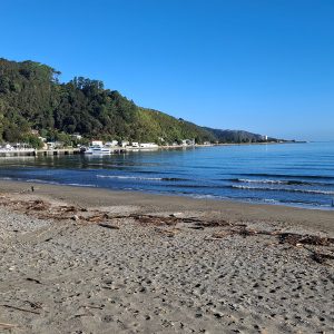
The newest section of the 3000km Te Araroa Trail opened in April 2016, positioned above SH1 between Pukerua Bay and Paekakariki.
From the Pukerua Bay railway station car park, head north. The northern terminus is at Paekakariki railway station, at the opposite end of the trail.
At both ends, the trail begins alongside the railway tracks near sea level. If you’re used to the labyrinth of roots and mud in the Tararuas, you’ll find this track highly civilised. It’s well graded with well-formed steps on all ups and downs – perfect for youngsters and oldies alike.
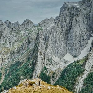
The high point of the trail is 220m above the sea, near the 5km marker and halfway point – Wellington’s Mt KauKau involves just as much climbing.
There are two 40m swingbridges, an area of kohekohe forest and several information points along the route.
Like much of the rest of the Te Araroa Trail, this section is a different experience to backcountry tramping. Te Araroa connects settlements, townships and cities and, perched high above SH1, this is evident.


34 years of inspiring New Zealanders to explore the outdoors. Don’t miss out — subscribe today.

Questions? Contact us