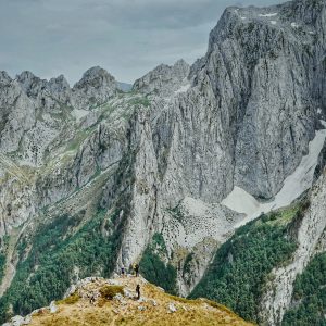
For a day trip to remember, consider the Torlesse Range and in particular Castle Hill Peak.
From the leg-up that is Porters Pass, the route extends through tussock and scrub to an indistinct path made of gravel and shattered rock.
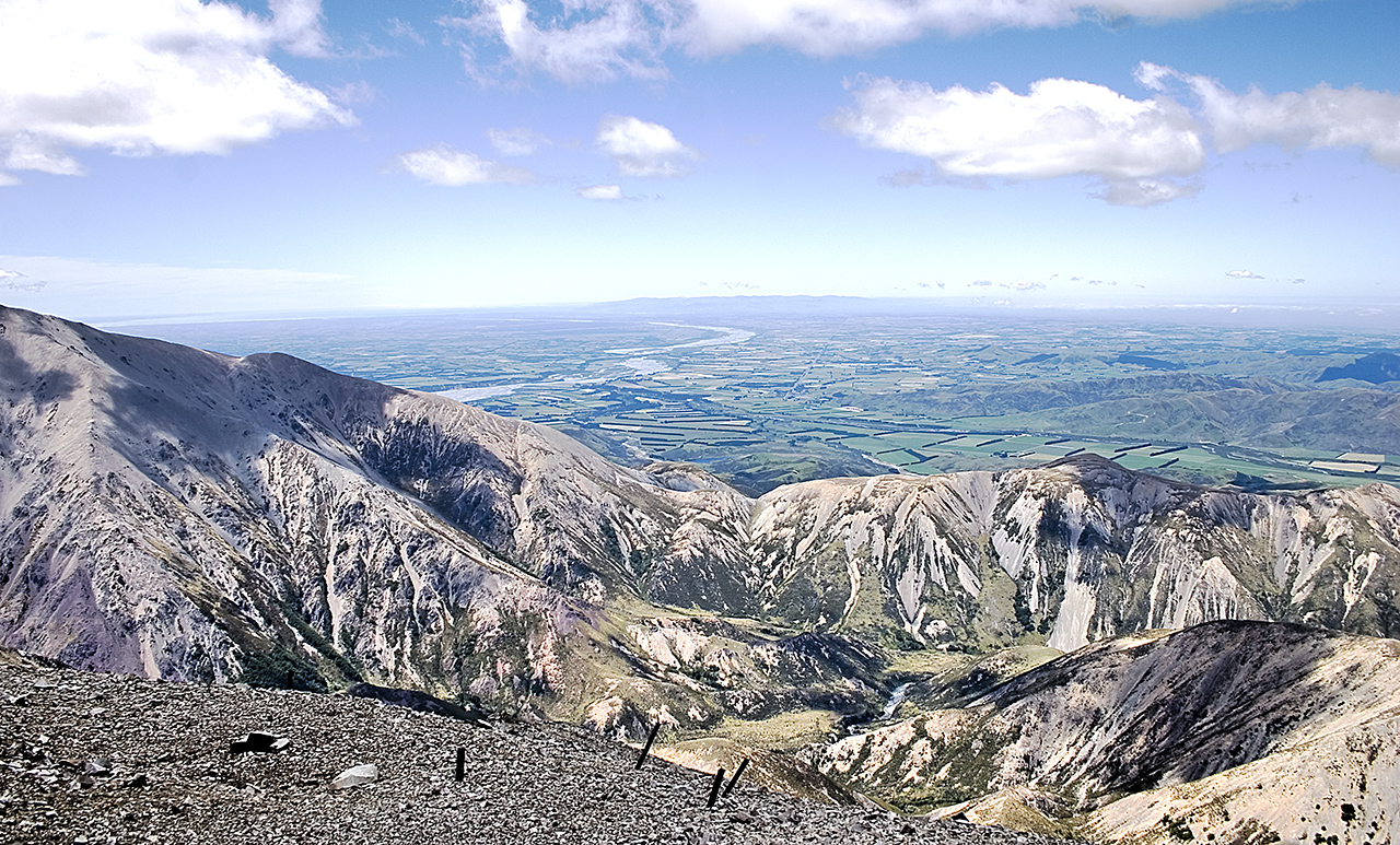
From Foggy Peak the views extend over Lake Lyndon, the Rakaia River and the Canterbury Plains.
Navigation skills will be required in low visibility.


34 years of inspiring New Zealanders to explore the outdoors. Don’t miss out — subscribe today.

Questions? Contact us