Home / Trips / Marlborough

Cape Campbell, Marlborough

Area
Marlborough
Distance
6.92km
Time
1.5hr
Grade
Easy
Accom.
Marfells Beach Camp Ground
Access
From SH1 turn off into Marfells Rd at Lake Grassmere, where it's a further 8km to the beach
Map
BR29
GPX File
Cape Campbell (1) (gpx, yo 6 KB)
Your device does not support GPX files. Please try a different device.

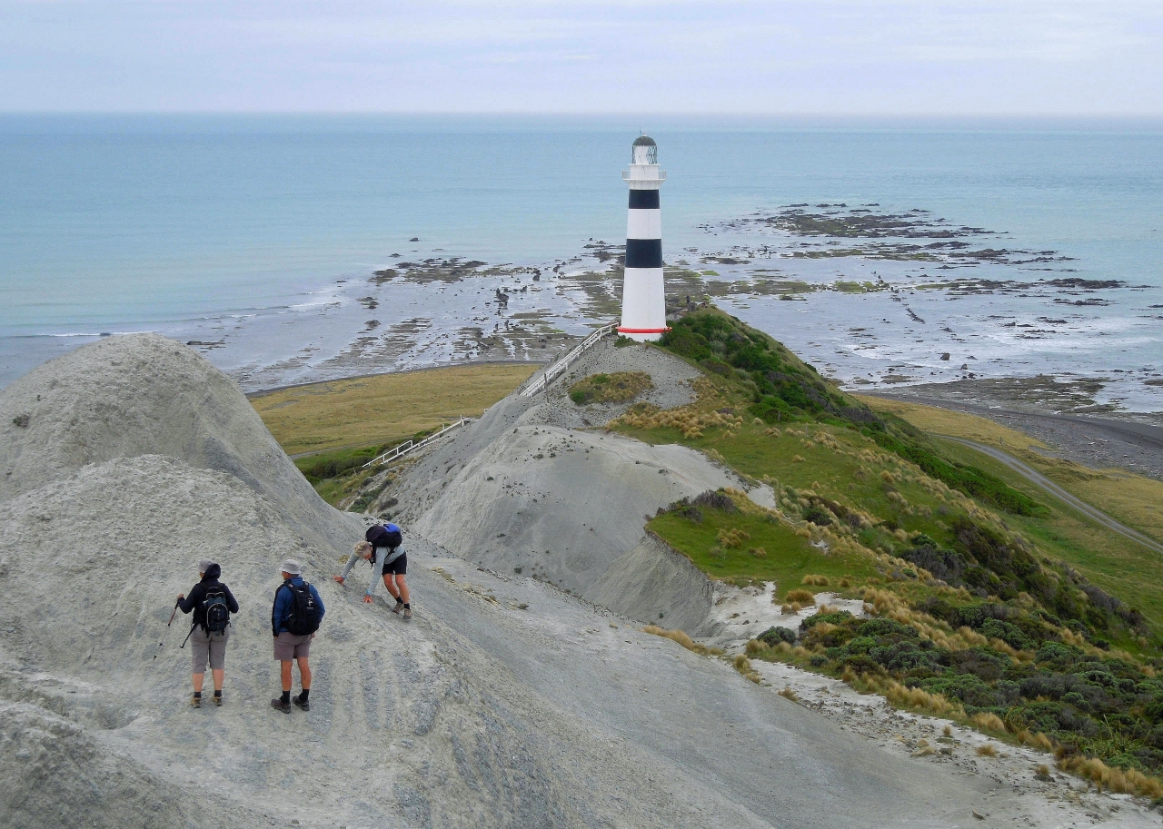
On an outgoing tide, follow an unmarked route along the coastline to the first point of interest at Mussel Point, where the London Hills fault enters Cook Strait. Carry along the foot of the cliffs and, from here, Cape Campbell is visible about 5km away. The going is straightforward once the tide has receded; being on a mixture of soft sand and small stones, with some curious siltstone outcrops providing added interest.

The cottages below the lighthouse are a good spot for a break and a general fossick. The historic lighthouse is the main feature of the cape with its wide black bands making it more visible against the white cliffs behind. The present 22m cast iron tower replaced an earlier wooden one whose light first shone in 1870. Scramble up the narrow siltstone ridge above the lighthouse going as far as a radio transmission mast.

There are great views from the ridge where you can easily see the southern shore of the North Island just across the water, while down below are extensive reefs visited regularly by crayfishermen on their quad bikes. This walk is best done on a low midday tide as high spring tides can block access around the foot of bluffs.