Image of the January 2016 Wilderness Magazine Cover Read more from the
January 2016 Issue
Home / Articles / Wild Trips

Rough diamond

Heading up Falls Creek to the lake at the valley's head. Photo: Jo Carpenter
Area
Fiordland National Park
Distance
6.33km
Total Ascent
787m
Time
3-4hr
Grade
Moderate
Accom.
Rock bivvy, Camping
Access
Milford Road, 1km past the Lower Hollyford Road turn-off
Map
D41
GPX File
Falls Creek.Fiordland National Park (gpx, yo 13 KB)
Your device does not support GPX files. Please try a different device.

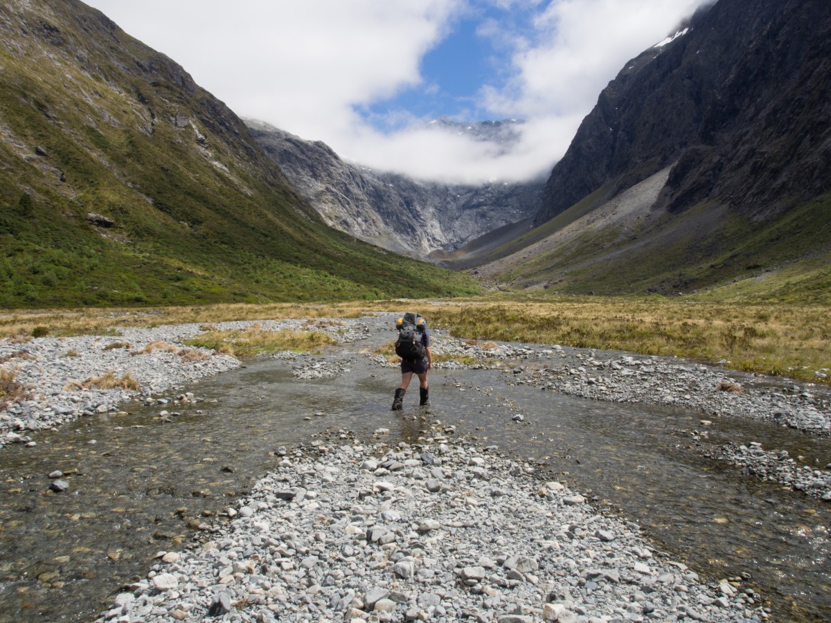
Falls Creek, Fiordland National Park

Most people will only know Falls Creek from the impressive waterfall that fringes the Milford Road, but the route starting beside it offers excellent opportunities to explore classic Fiordland backcountry without the crowds found on more popular tracks such as Gertrude Saddle.

A promising afternoon forecast meant we started at a relaxed 2pm. The track followed the creek steeply upwards as it climbed towards the hanging valley, crossing over slippery rock faces and gnarled roots. Glimpses into the Falls Creek cataract gave us a chance to surreptitiously wipe sweat off our brows. After 45 minutes of steady climbing, the track reached the valley and levelled out. The silver beech forest was unusually diverse, filled with lush lancewood and coprosmas. Every now and then we would pass through ‘orchards’ of shield ferns and mountain ribbonwoods.

The track steadily deteriorated as we travelled up-valley, resulting in several lost-track moments and many minutes of peering haplessly about for the elusive orange triangles. Triffid-like shield ferns covered the path, snatching at our waists.

We emerged from the bush into a large swampy clearing, where Moirs Guide states that an ‘obvious blazed beech tree’ marks a short track over to the creek. Unfortunately, no blazed beech tree presented itself so we bashed through some scrub to reach the creek bed (on the return journey we stumbled upon the right track – the blazes are quite subtle and overgrown now). Here, the valley opened up into a series of scrubby river flats, with the imposing massif of Ngatimamoe Peak visible to the left. A further twenty minutes’ boulder hopping brought us to a three-person rock bivvy marked by a cairn, which we passed by in favour of a campsite further upstream on a mossy river flat.

I drifted off to sleep that night, pleasantly lulled by the sharp whistle of a male whio and his female’s guttural reply.

Cloud was avalanching into the valley when we woke the next day. After waiting in vain for it to burn off, we gave up and started for the lake at the head of the valley. The landscape was covered with rock jumbles and thickets of pineapple dracophyllum, and became progressively desolate and gravely as we reached the moraine near the lake. We spotted three pairs of rock wren, looking charmingly shabby in their summer moult. Their naive friendliness seemed to be a testament to how few people come up Falls Creek.

After an hour’s travel we reached the lake; an eerie oval of milk-blue water, fringed by sheer rock faces and a huge slab of ice. I had heard that it sometimes contains icebergs, but we were out of luck that day.

We headed back down-valley to the road, glancing back to see the sun burning through the clouds and illuminating Pyramid Peak.
– Jo Carpenter