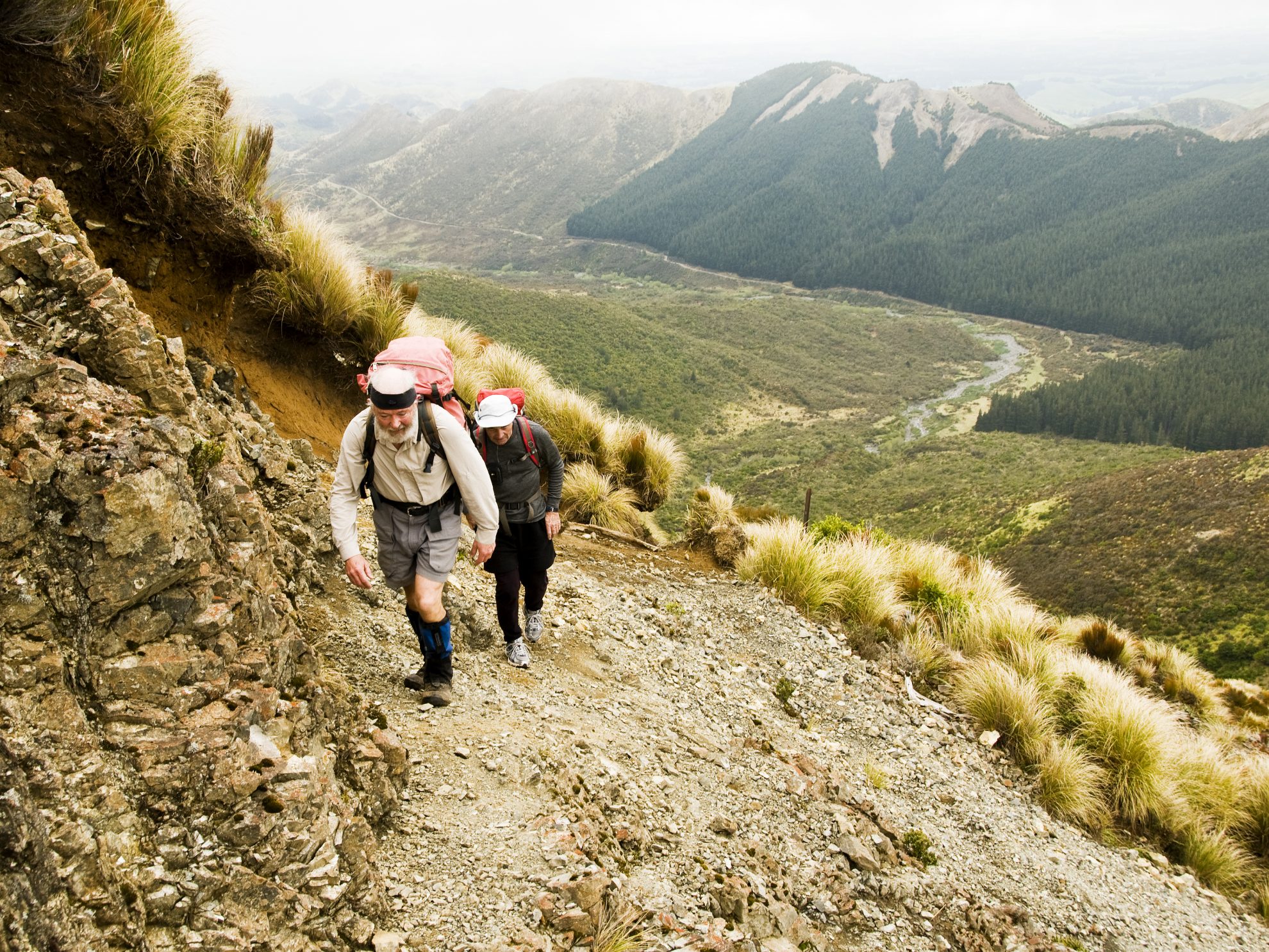
Makaretu Hut, Ruahine Ranges, Hawke’s Bay Kashmir Road was in better condition than the last visit winding its way through the foothills of the Ruahine Range inland from Takapau in Central Hawkes Bay. The near empty car park reflected the morning. Gloomy, misted in and far from the previous night’s forecast. An elderly hunter joined […]
The 2026 Wilderness Outdoor Photographer of the Year competition
A tale of adventure and tragedy
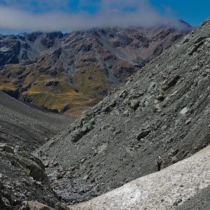
Mt Peel, Kahurangi National Park
The trail of the tenacious
A lofty location for Brass Monkey
Subscribe!
Each issue of Wilderness celebrates Aotearoa’s great outdoors — written and photographed with care, not algorithms.Subscribe and help keep our wild stories alive.