Image of the April 2011 Wilderness Magazine Cover Read more from the
April 2011 Issue
Home / Articles / Wild Trips

Naming rites

On the summit of Mt David with views to neighbouring mountains
Time
5hr return
Access
3km north-east of Danseys Pass, take the farm track to the north as far as the river flats
Map
CB16 Naseby

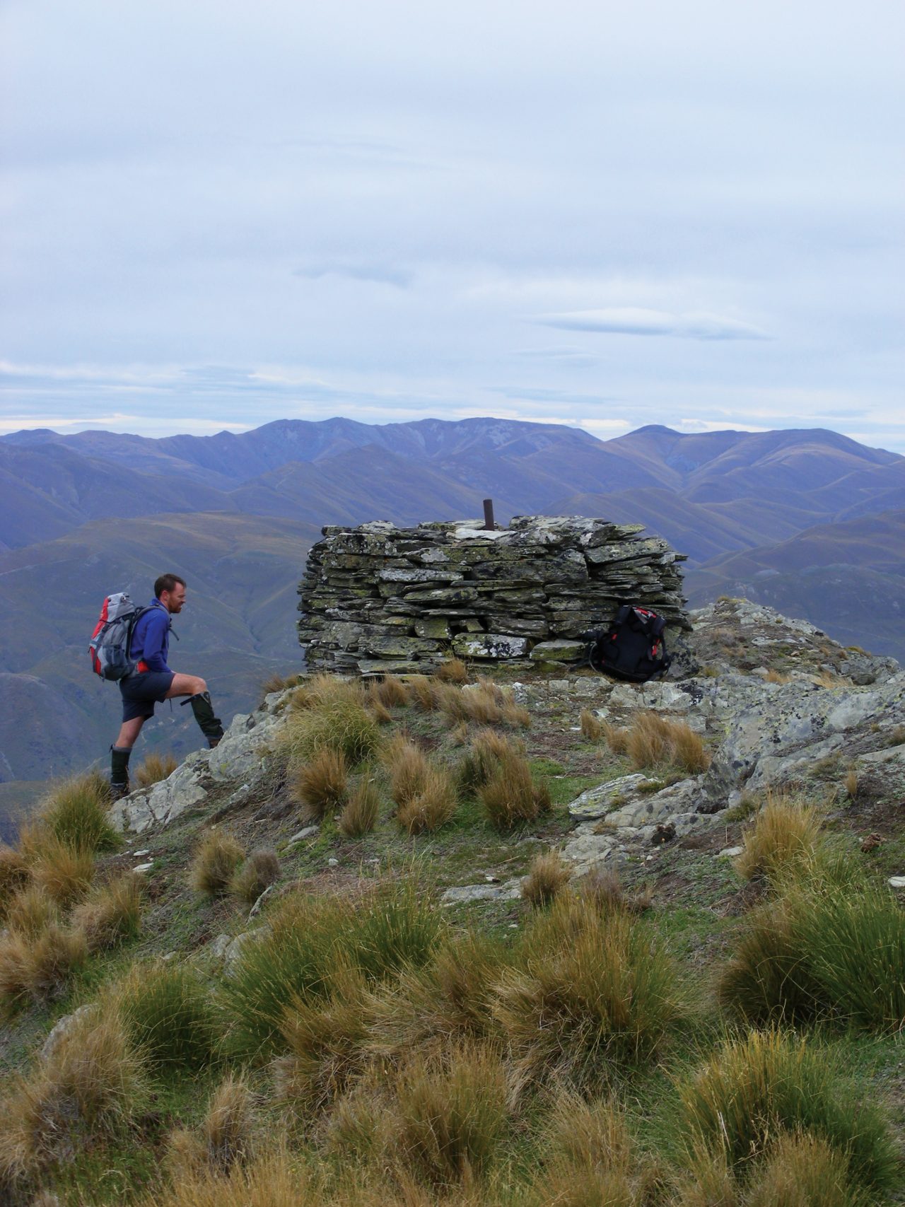
1994. It’s a glorious spring day in the head of the Mararoa. The vista of snow clad peaks of the Livingstone Range is impressive, with the crenulated crest of the David Peaks pre-eminent among them. It occurs to me that getting to the top of a mountain that bears my name – or, more accurately, a name the same as mine – would be a neat thing to do. I file the idea for further investigation, but later conclude that it is one for the too-hard basket.

Fast forward a few years and playing with some mapping software throws up a selection of David places. There’s the David Glacier, a hanging glacier on the side of Mt Armstrong, near Haast Pass. Not really my cup of tea (although I’ve since had a look at it from below). There’s the David Saddle in Nelson Lakes National Park. That might be achievable, but it’s a long way from home and three days walk in – and out – in any direction. And there’s Mt David, near Danseys Pass – 1412m, in tussock and two hours from home. My sort of place.

Fast forward to January 2011. My friend Barry and I have an opportunity for a weekend in the hills, but the weather forecast says the only place likely to get decent weather is North Otago – and only on Sunday. So the Mt David idea gets dusted off.

It’s 10:15am when we set off from the farm track that turns off the Danseys Pass Rd just north of the pass. A few minutes walk takes us to the crossing of the Otekaieke River. Upstream is the way to Chinaman’s Hut, a sheep station boundary hut later occupied by a Chinese miner. Beyond lies Mt Domett, the highest hill in the area and main attraction for trampers in these parts. Downstream the river swings north and heads for the Waitaki Valley.  Mt David looms above this section, and from this angle appears to be quite monolithic.

A farm track allows us to gain height gradually at first. We are delayed by cattle congregating around an open gateway that we want to go through. They move on just as we are contemplating climbing the fence. When the track runs out, we toss around a few options, all of them steep. Angling right to a gully leading towards the skyline looks to be the best bet and proves to be straightforward. Once on the ridge we get to see the real summit. We knew that we’d been looking at a false one all morning. We also feel the nor’wester that’s pummelling inland areas – a spin-off effect from Cyclone Wilma.

A steeper pitch through a field of spaniards brings us past the false summit and onto the easy ridge that leads us to the top. There’s a massive cairn there. We can see Mt Domett and its neighbours Little Domett, Grayson and Cone. The Waitaki and Hakataramea Valleys lie to the north, but cloud prevents any view of the Southern Alps.

After lunch in the lee we retrace our steps. Once down on the easier terrain, the wind picks up substantially. At times we’re struggling to stay on our feet and we’re grateful to be off the top. I think we’d have been on hands and knees up there.

The discussion turns to windburn. We’ve both got it – but does it exist? I reckon that it has to be sunburn that you just don’t notice because of the wind, and that if the wind burnt it would be by friction, which seems implausible. Barry points out that today’s weather without the wind wouldn’t cause sunburn. Some research when we get home reveals that we’re both half right. The wind evaporates the protective moisture from your skin, meaning the sun burns you more easily.

At the Otekaieke crossing, the ongoing battle to stay on our feet means we cancel the plan to detour to Chinaman’s Hut and head for home instead.