Home / Trips / Southland

Teal Bay Hut via Lake Hauroko, Fiordland National Park

Image of the February 2019 Wilderness Magazine Cover Read more from the
February 2019 Issue

Ladies of the lake

Hauroko, New Zealand’s deepest lake (462m), has a reputation for gale force winds. Its name means howling wind in Māori, and the lake lives up to this at times, as the wind, funnelled by the steep surrounding hills, can create huge waves in a matter of minutes.

But guided by the advice from a friend to “keep close to the shore”, I felt confident enough to try sea kayaking to Teal Bay Hut at the lake’s southern shore.

Sandflies descended in droves as soon as the car doors are opened but, fortunately the lake is as flat as a millpond when we launch the kayaks.

To the right is Mary Island, famous after the discovery of a burial site of a Māori woman in 1967, who is known as the ’lady of the lake’. The burial site, dated to the 17th century, is in a cave on the eastern side. The woman’s body was placed in a seated position wearing a flax cloak with a dog skin and weka feather collar, suggesting she was a person of high-rank.

Lake Hauroko is long and narrow, the shape of a thunderbolt, surrounded by bush-clad mountains. The conditions were so good, we ignored the advice to stick to the shore and cut corners whenever possible.

After two-and-a-half hours, we reached Teal Bay and the 12-bunk hut, set in clearing surrounded by tall pittosporums.

Outside Teal Bay Hut

We explored the small island just off shore from the bay. During the 20 minute circumnavigation, the wind suddenly chopped up the glassy surface and, fighting wave and wind, it was a challenge to return to the beach.

From the hut, a track leads to The Hump (1067m). So, next day, walking, not kayaking, we followed the overgrown track beside the lake shore for 40 minutes. We took the left branch at a junction, leading up The Hump and enjoyed the mountain’s modest gradient for about an hour, before the terrain became steeper.

The long spur flattened at times, providing a welcome break, but it took longer than expected to reach the bushline – a full three hours. At Pt 1006m, we paused for lunch and spotted The Hump with its amazing rock formations.

Clouds began rolling in from the north and soon Lake Hauroko was obscured. That hastened our decision to retreat rather than find our way along the tops in cloudy conditions.

Back at the track junction, we took the 10-minute trail to the three-wire bridge across the Wairaurahiri River. A strange contraption in the middle of the bridge turned out to be a possum gate. The river was clear, framed with golden sand beaches on both sides.

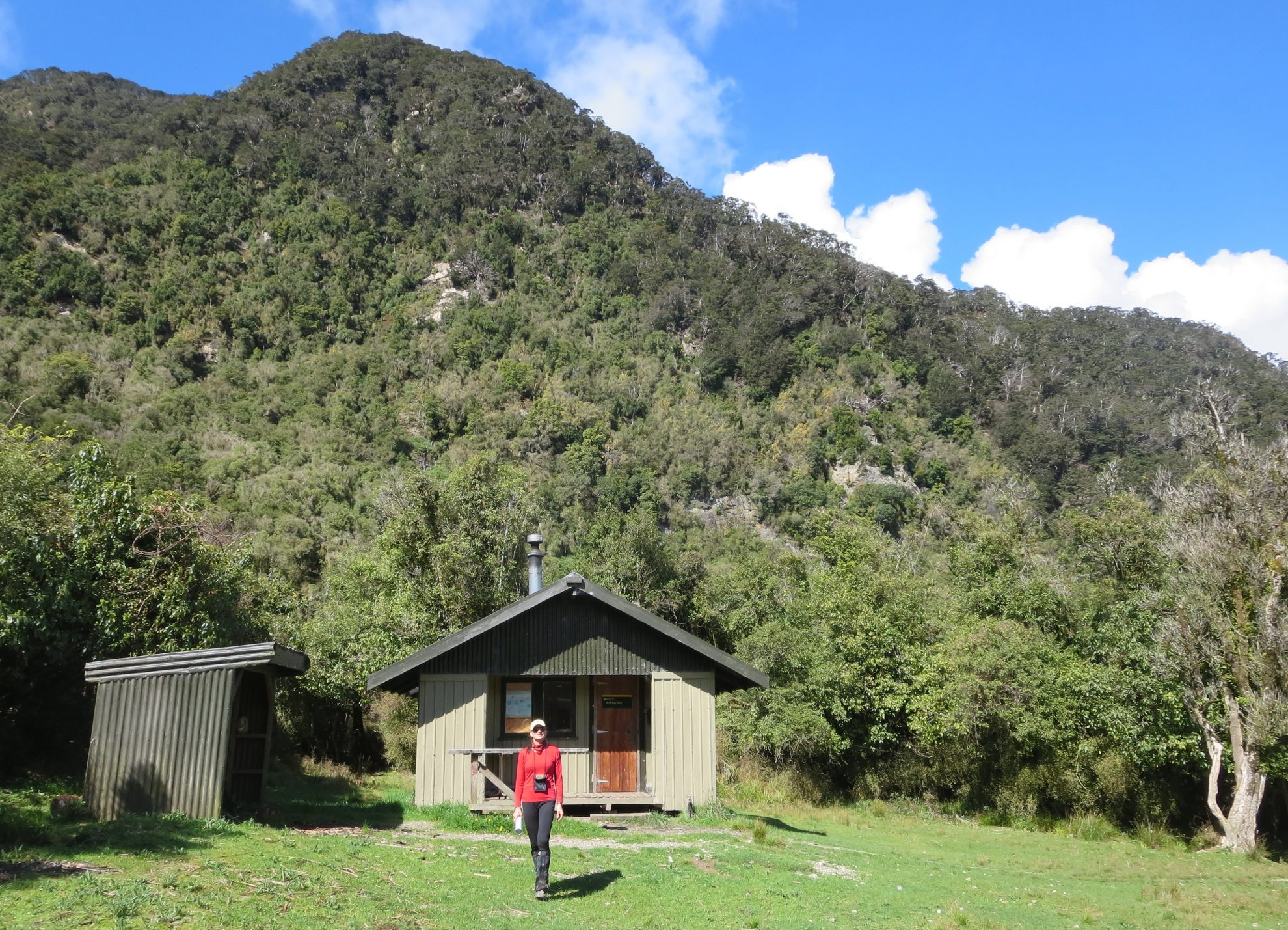
We returned tired to the hut and not long after, torrential rain washed over, but it didn’t last long.

The following day we left early on a slightly-rippled lake. As we reached the turn-off near Mary Island, the lake became glassy, reflecting the magnificent mountains and bush. The beauty of this place is unreal.

Distance
12+km paddling on Lake Haurko; 4.5km walk to Pt1006
Grade
Moderate
Time
Car Paddling to Teal Bay Hut, 2.5hr; Walking from hut to Pt1006, 4-6hr return
Accom.
Teal Bay Hut ($5,12 bunks)
Access
From the end of Lillburn Valley Road, off SH99
Map
CF07

GPX File

Teal Bay Hut via lake Hauroko (gpx, 3 KB)

GPX File

Your device does not support GPX files. Please try a different device.