From Otaki Forks, a footbridge crosses the Waiotauru River and begins the climb towards Field Hut. The track initially passes through regenerating scrub, but soon enters more mature forest of kamahi, hinau and totara.
Beyond Field, the track climbs to merge into the tussocklands and undulating terrain of the aptly named Table Top. A boardwalk crosses boggy terrain, and views open up of the range stretching north and south.
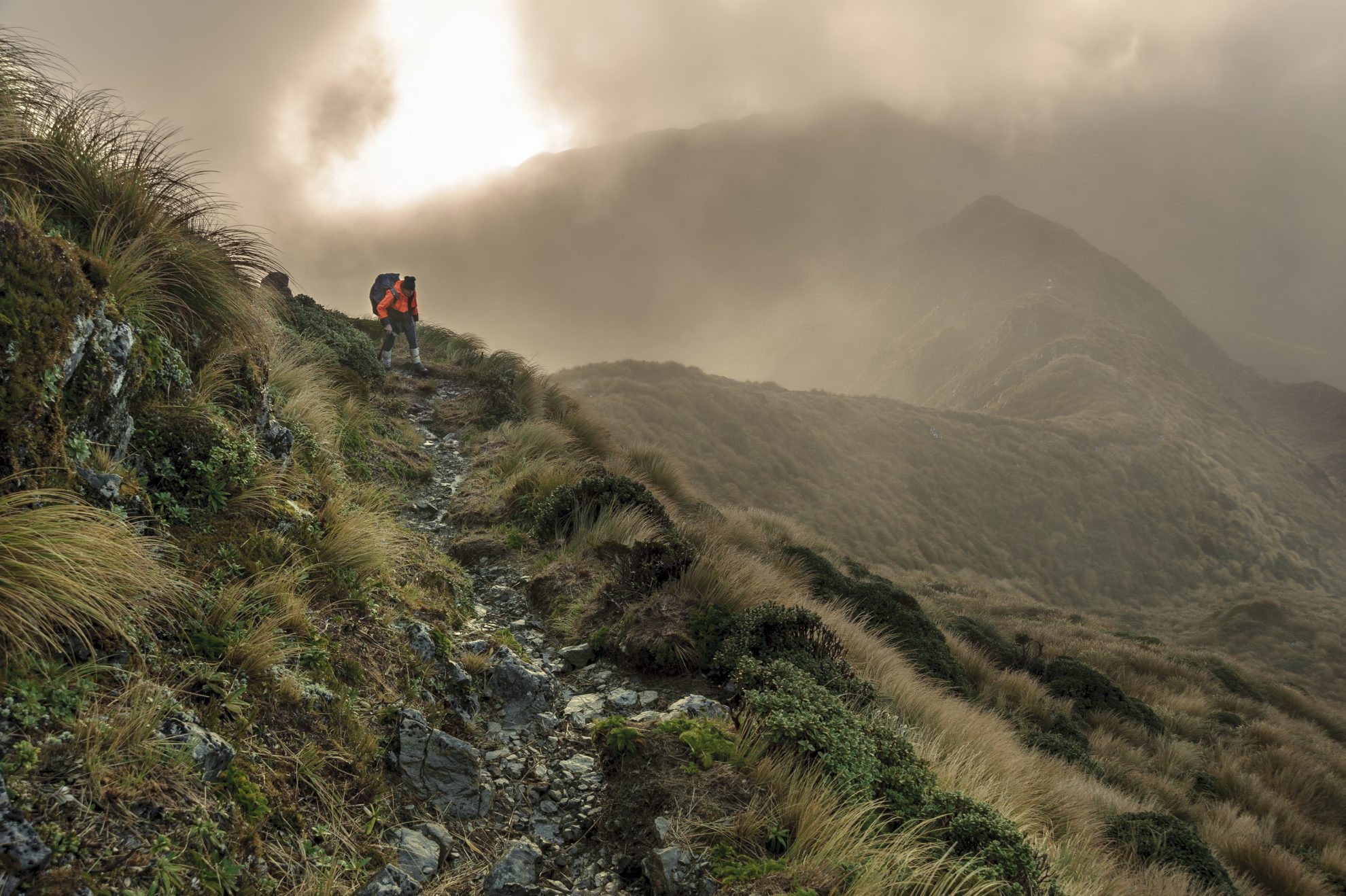
A steady upward climb on a well-worn route, marked by occasional poles, reaches a track junction at Bridge Peak (where the route along the Main Range branches off). This knoll is named after Bill Bridge, a second generation TTC member who made a huge contribution to developing Search and Rescue. Continue along the ridge to Kime Hut.
Beyond Kime, the track climbs to its highest point, Mt Hector (1529m), where a wooden cross commemorates those trampers who lost their lives in war. Naturally, it offers fine views, even as far as Mt Taranaki.
Continue along the track to Atkinson (Pt 1472). After here the terrain becomes flat, almost moor-like, before arcing around a sickle of tops known as the Dress Circle to Aston. Poles at key places help navigation where the topography loses definition.
Continue along the tops to Alpha (Pt 1361). On a good day, Alpha affords perhaps the best vantage point of the crossing, with views over the sweep of the Dress Circle and the extensive forests of the neighbouring Tauherenikau and Hutt catchments – not to mention the distant Kaikoura Mountains and Marlborough Sounds.
A descent off Alpha leads to the bushline, and shortly beyond, Alpha Hut.
Beyond Alpha, the track dips into a saddle, with the somewhat exaggerated name of Hells Gate, before reaching a track junction to Bull Mound. Continue on along Marchant Ridge.
The Marchant has a deserved reputation as a long slog, with rooty, muddy, undulating travel through stunted beech forest. Alternatively, drop down the Block IV track to the Tauharenikau Valley and Smith Creek tracks.
The tramp concludes at a large gravel car park the end of Marchant Rd, off SH2 at
Kaitoke. Cars are frequently vandalised here, so you’re better to park at the car park on Kiwi Ranch Rd.
Alternative route: From Alpha Hut it is possible to complete a more traditional southern crossing over Bull Mound to Cone Hut and then to the road-end at Walls Whare.


34 years of inspiring New Zealanders to explore the outdoors. Don’t miss out — subscribe today.

Questions? Contact us


