For the closest vantage point of Franz Josef Glacier, walk this five-hour return track with a stop at a hut on the way. By Chris Munn
The Roberts Point Track, like many on the West Coast, is loaded with points of historical interest. One such feature is Hende’s Hut, an old hut about 90 minutes into the trip.
The track was the first built in the Waiho Valley and is named after the chief surveyor and commissioner of crown lands for the Westland District. It was used to gain access to Franz Josef Glacier at the head of the valley as part of the area’s budding guiding industry.
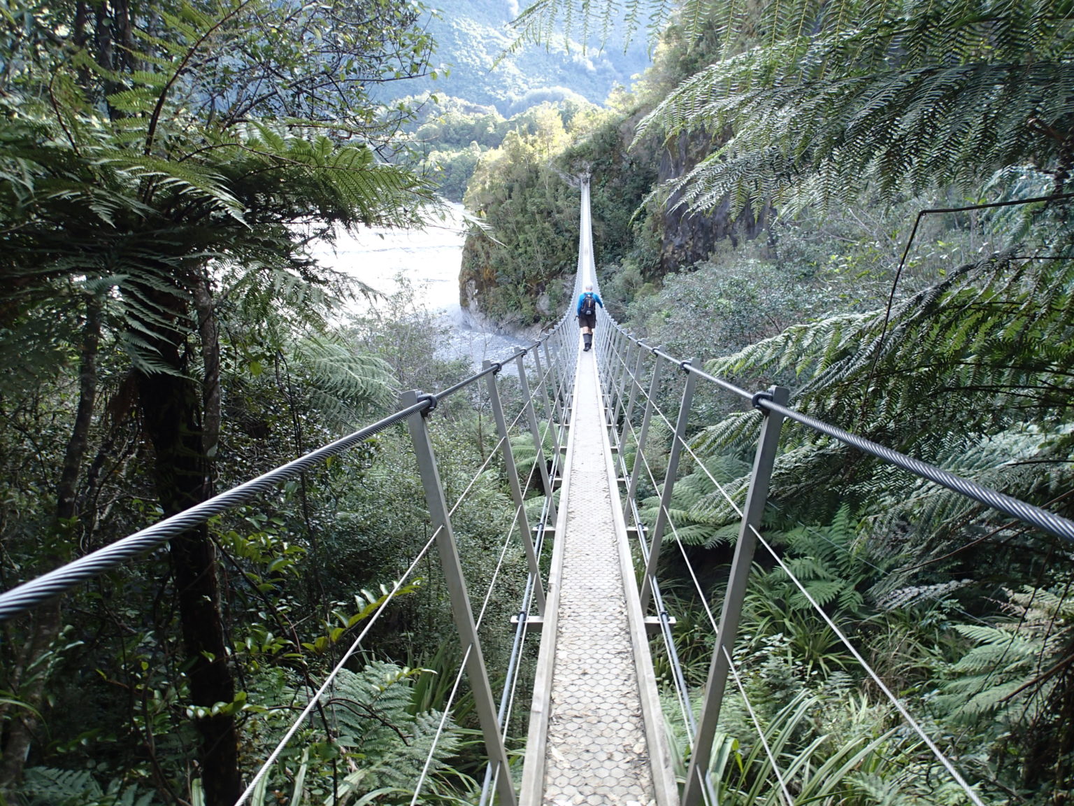
The track starts from Lake Wombat Track car park, 1.4km from the road end and crosses the Waiho River by a large suspension bridge (Douglas Bridge). The trail is well-formed and within 30 minutes there’s an impressive bluff just before Arch Creek. This is bypassed by a very long swingbridge that runs upriver, rather than across it.

After another 50 minutes, the historical Hende’s Hut is reached, just beyond a prominent bluff with good views down the Waiho River. The hut was built in 1907 to accommodate a forge for manufacturing the steelwork needed to build a walkway that is suspended from the rock face a short distance further along the track. This walkway, known as ‘Hende’s Gallery’, weaves along and down a significant rock face. It was constructed as part of general track development to encourage tourism and provides access to the glacier and to the other side of the valley. Hende’s Gallery was restored by DOC in the mid-1990’s and given a Historic Places Category 1 listing. The complex web of steelwork and bracing wire is in amazing condition.
Beyond the gallery, the track traverses a section of glacier-scoured rock that can cause difficulties in icy conditions when extreme care is required.
At the track’s end, high above the Waiho River, is an elevated platform with a picnic table that offers excellent views to Franz Josef Glacier, the terminal face of which is in retreat up the valley. At least two people have died on this track in the past 10 years attempting to get closer to the glacier, so it’s best to travel no further.

34 years of inspiring New Zealanders to explore the outdoors. Don’t miss out — subscribe today.

Questions? Contact us


