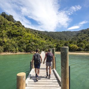
Renata Ridge is a long bush-clad ridge reaching from the tussock tops of the Southern Crossing out to the Akatarawa Road, and enables a keen tramper to walk the tops of the Southern Crossing in a loop trip returning to Otaki Forks.
The trip starts with the haul up to Field Hut. Slower parties might like to get this done on the Friday night, although as long as you move with a bit of speed and don’t mind a longer day you could just start on the Saturday morning.
The track is not unpleasant, but it is always a relief to break out of the bush beyond Tirotiro Knob and see the historic cream coloured hut. Field Hut is only halfway to Kime Hut, but it feels further.
Even on a sunny day Kime Hut is cold, but it provides a convenient shelter for a break if the weather is bad. It is also reassuring to know it is there should the weather turn bad. On a fine day you’ll feel on top of the world here, but Kime doesn’t mark the end of the climbing. Mt Hector is at the top of the second moderate climb beyond the hut.
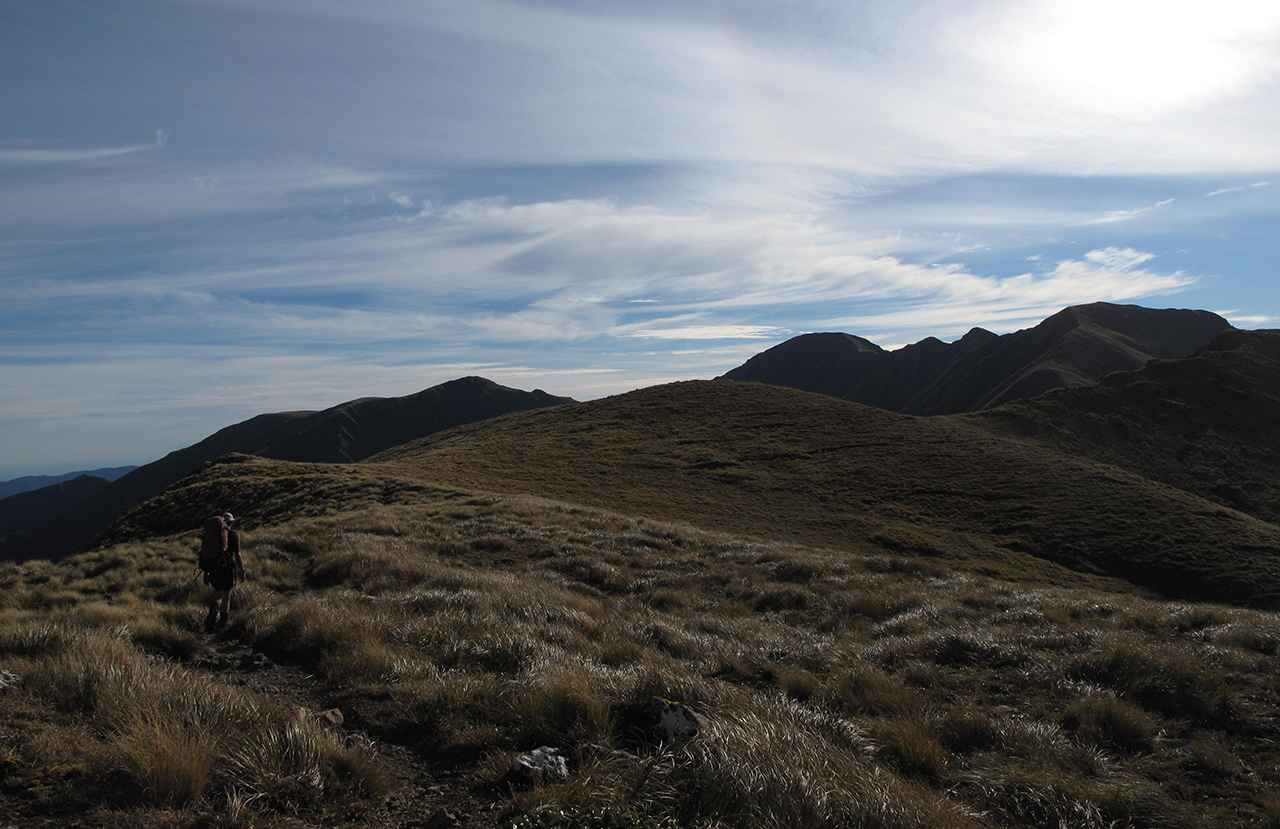
The Southern Crossing now curves around in a feature known as the ‘Dress Circle’, although to get there you’ll need to traverse the bumps of the Beehives and Atkinson. Eventually you’ll reach a signpost indicating Renata Ridge where a steep descent into a bush saddle sets you up for the final long climb to Mt Elder.
Just off the summit lies the four bunk Elder Hut, with its stunning view to Wellington harbour. The deck is a great place to eat dinner if the weather is kind.
The route continues along Renata Ridge, past the decrepit Renata Hut and out to an old logging road. This is followed down to Waiotauru Hut (an old tractor shed).
Continue along the track to a swingbridge with the track then heading down the true left of the Waiotauru. If the river is at normal flow then walking down the river bed is by far the nicest way down valley.
Once at the roadend, there is a short walk down the road to the car park at Otaki Forks.


34 years of inspiring New Zealanders to explore the outdoors. Don’t miss out — subscribe today.

Questions? Contact us