Home / Trips / Southland

Princhester Hut to Aparima Hut, Takitimu Mountains

On the track between Lower Princhester and Aparima huts. Photo: Alina Suchanski
Distance
21.4km
Total Ascent
737m
Time
Lower Princhester Hut to Aparima Hut, 8hr; Aparima Hut to car park, 2hr
Grade
Easy/Moderate
Accom.
Lower Princhester Hut ($5, 6 bunks), Aparima Hut ($5, 12 bunks)
Access
From Princhester Road (northern access) or Dunrobin Valley Road (southern access)
Map
CE08
GPX File
Princhester Hut to Aparima Huts.Takitimu Mts (gpx, yo 51 KB)
Your device does not support GPX files. Please try a different device.

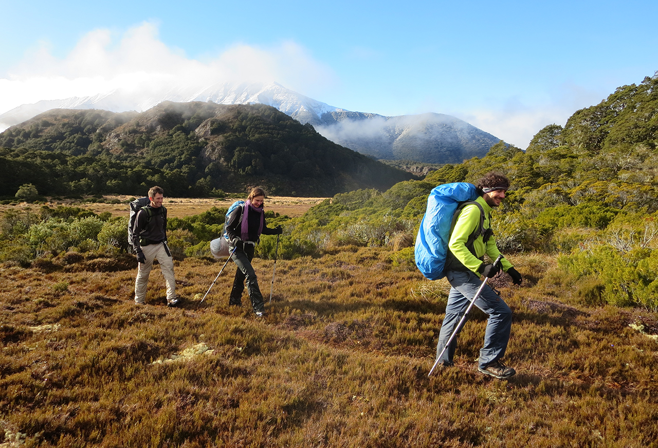
Majestic and captivating Takitimu Mountains, affectionately referred to by the locals as the Takis, are visible and easily accessible from just about anywhere in Southland.

The mountains are named after the Takitimu, one of the original waka that brought Maori to New Zealand.

This impressive landform provides ample opportunities for tramping, hunting and fishing. There is a dozen small huts scattered throughout the mountain range, but to reach any of its glorious peaks you need to get off track, and that’s a deterrent for many.

The track follows the section of Te Araroa Trail that cuts through the eastern end of the Takitimu range. Lower Princhester Hut can be reached by following the Princhester Road off SH94. This gravel road passes through private farmland, but DOC has said the owners don’t mind trampers crossing it, as long as gates are left as found.

Lower Princhester Hut is popular amongst the locals as a base for day trips or hunting. From the hut the track goes through an ancient beech forest lined with a thick carpet of ferns. After two hours of gentle uphill climbing, the saddle is reached at the head of the Bog Burn.

The track is well marked and goes through intermittent sections of beech forest and tussock land.

Gaiters and walking poles are helpful, but waterproof trousers are ideal for the areas of wet tussock.

Becketts Hut is located about halfway between the Lower Princhester and Aparima Hut, and offers a nice spot for lunch.

The track follows the eastern edge of Waterloo Valley and is pretty flat with only a few gentle rises, but after an hour it passes amazing rock formations with vertical walls in the middle of undulating tussock land. Climbing up and down these rocks is a highlight; from their tops is a breathtaking view of sweeping grasslands surrounded by towering snow-capped peaks.

The track continues crossing wetlands where ancient bog pines and celery pines grow out of cushions of sphagnum moss and spiky wire rush.

It takes about eight hours to reach Aparima Hut on the high bank of the Aparima River, and from there, the Dunrobin Valley Road car park is about two hours away.

Note: Permission required to cross the farmland to access this walk. Pleasant Valley Station, p: 03 248 6133; Waterloo Station, p: 03 248 6145