


- Area
- Hanmer Forest Park
- Distance
- 12.1km
- Total Ascent
- 1036m
- Time
- 5-6hr
- Grade
- Easy/Moderate
- Access
- From Chatterton Road, west of Hanmer village. A locked gate beside the motor camp will necessitate an additional 1.3km hike up the road to the trackhead.
- Map
- BU24
- GPX File
- Mt Isobel via Chatterton River Track (gpx, yo 35 KB)
- Your device does not support GPX files. Please try a different device.
Mt Isobel dominates every angle of Hanmer Springs and is arguably Canterbury’s most climbed mountain.
There are several routes to the summit with Chattertons Track to Jacks Pass offering an interesting short forest walk not often on the radar of those who visit the mountain retreat.
This river trail, beginning not far north of the motor camp in the Chatterton Valley, is an easy introduction to what could be termed a tramper’s track, yet still with enough aids, like footbridges over some of the stream crossings, and a well marked trail winding into the upper valley.
The first section of the track is through scrubby vegetation, but as you penetrate deeper into the valley, native forest begins to predominate and the river takes on a more scenic aspect.
The valley also begins to take on a sense of isolation and seclusion, aspects you don’t find in the more popular tracks of Hanmer Forest, making this track something special among the diverse range of walks on offer here.
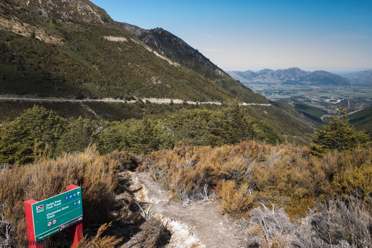
At the upper end of the track, the route climbs the south face of Jacks Pass via a steep rib where it again passes into open country with views of the craggy bluffs sprouting from the south side of Dumblane, 1303m.
Jacks Pass, 860m, is flanked by Mt Isobel, 1342m, and Mt Dumblane and through it runs the Clarence Valley Road.
From the pass, the summit of Mt Isobel is relatively easily reached. The route winds up and over several small knobs, where there are more grand views, to reach the Mt Isobel Track junction.
From here, there is a spectacular walk east along the crest climbing slowly to the summit.
