The easement through the freehold part of the property is marked from a small car park on the Ashburton Gorge Road, just east of Blowing Point Bridge.
A poled route climbs beside a stream surrounded with broadleaf and kowhai trees then heads up a farm 4WD track to the boundary of the conservation land. Cross the stile and go steeply up the adjacent fence line. This south-facing route can be quite slippery in the winter when it sees little sunlight.
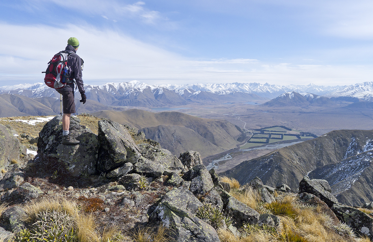
Continue east across a low peak at 1016m before dropping to a saddle. The final climb heads past a series of rocky outcrops north up the ridge to the summit.
From the summit, an old fence line wanders vaguely north along the tops providing plenty of options to drop down the Clent Hills, many ridges into the Stour River Valley or ultimately travel all the way to Lake Emily.
Stunning views of the Arrowsmiths, Mt Somers, Mt Hutt, Lake Heron and virtually the whole Hakatere Conservation Park will follow you most of the way.


34 years of inspiring New Zealanders to explore the outdoors. Don’t miss out — subscribe today.

Questions? Contact us


