The Central Whirinaki-Mangamate Loop showcases the ancient Whirinaki Forest, which was saved from the sawmill by New Zealand’s budding green movement in the 1980s.
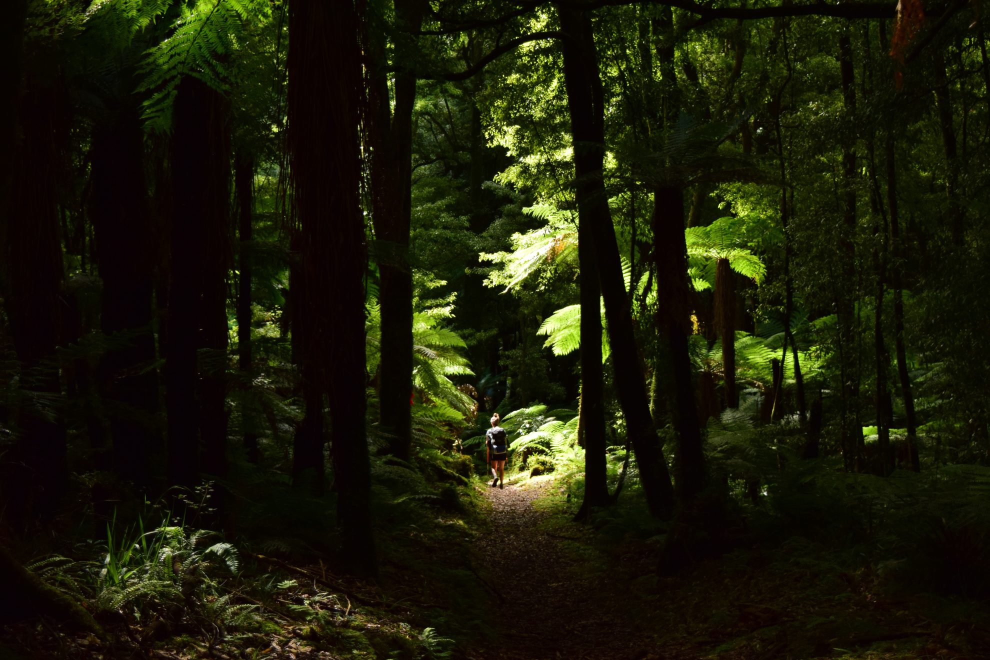
The two-to-three day track is studded with giant podocarp trees, including rimu, totara, matai and miro.
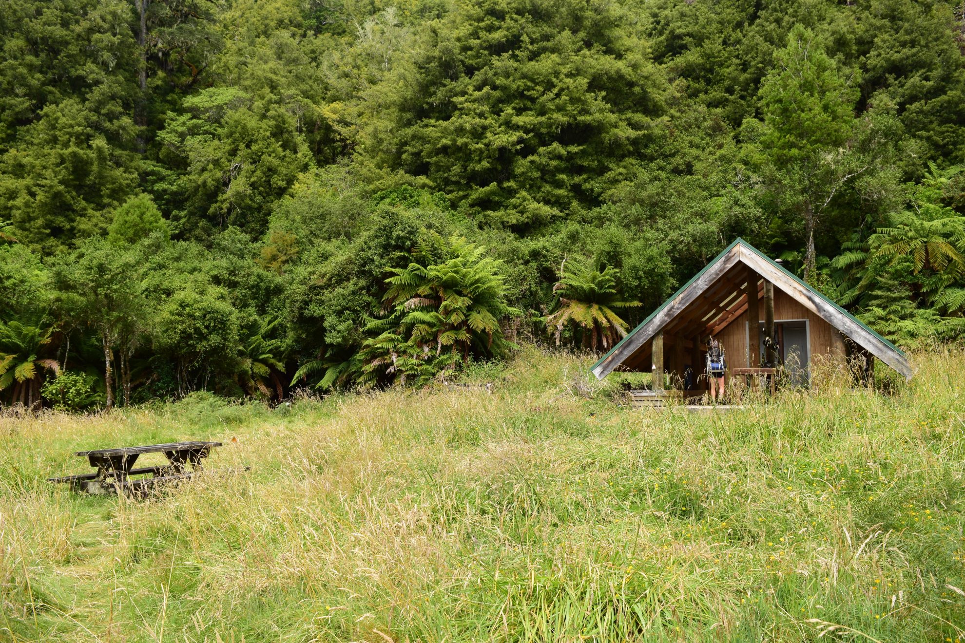
From the car park, the trip soon reaches Te Whaiti-Nui-A-Toi Canyon, where a stream cuts through an ancient lava flow with fascinating results. An hour further, there is a 200m detour to Whirinaki Falls, also well worth a look. From here it’s another 45 minutes to Vern’s Camp – an old track-cutters camp in an idyllic forest clearing. The marae-like, A-frame structure is open on three sides, with a fireplace at the back. We were tempted to stay, but continued on, vowing to return in the future.
From the camp, the track rises above the Whirinaki River, skirting below pumice cliffs where debris laid down by different eruptions in the central North Island can be seen. From here, it’s another two hours to the 25-bunk Central Whirinaki Hut. We had the hut to ourselves – a treat in mid-summer – and lit a fire outside and cooked dinner with whio/blue duck playing in the rapids of the Whirinaki River beside us. Kaka screeched overhead at sunset.
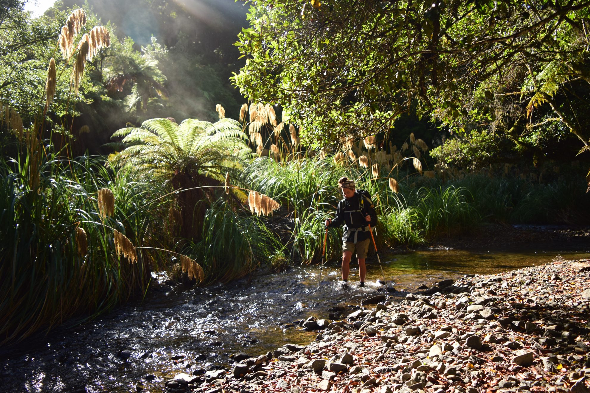
The next day, rain was forecast, so we headed to Mangamate Hut early. After about 30 minutes, at the bridge over the Taumutu Stream, the track branches left onto the Taumutu Stream Track, and shortly after heads left again onto the Mangamate Stream Track. After hopping over the creek, trying to keep our feet dry, we soon discovered the track is almost entirely through the stream – luckily, during our trip, it was no more than knee-deep.
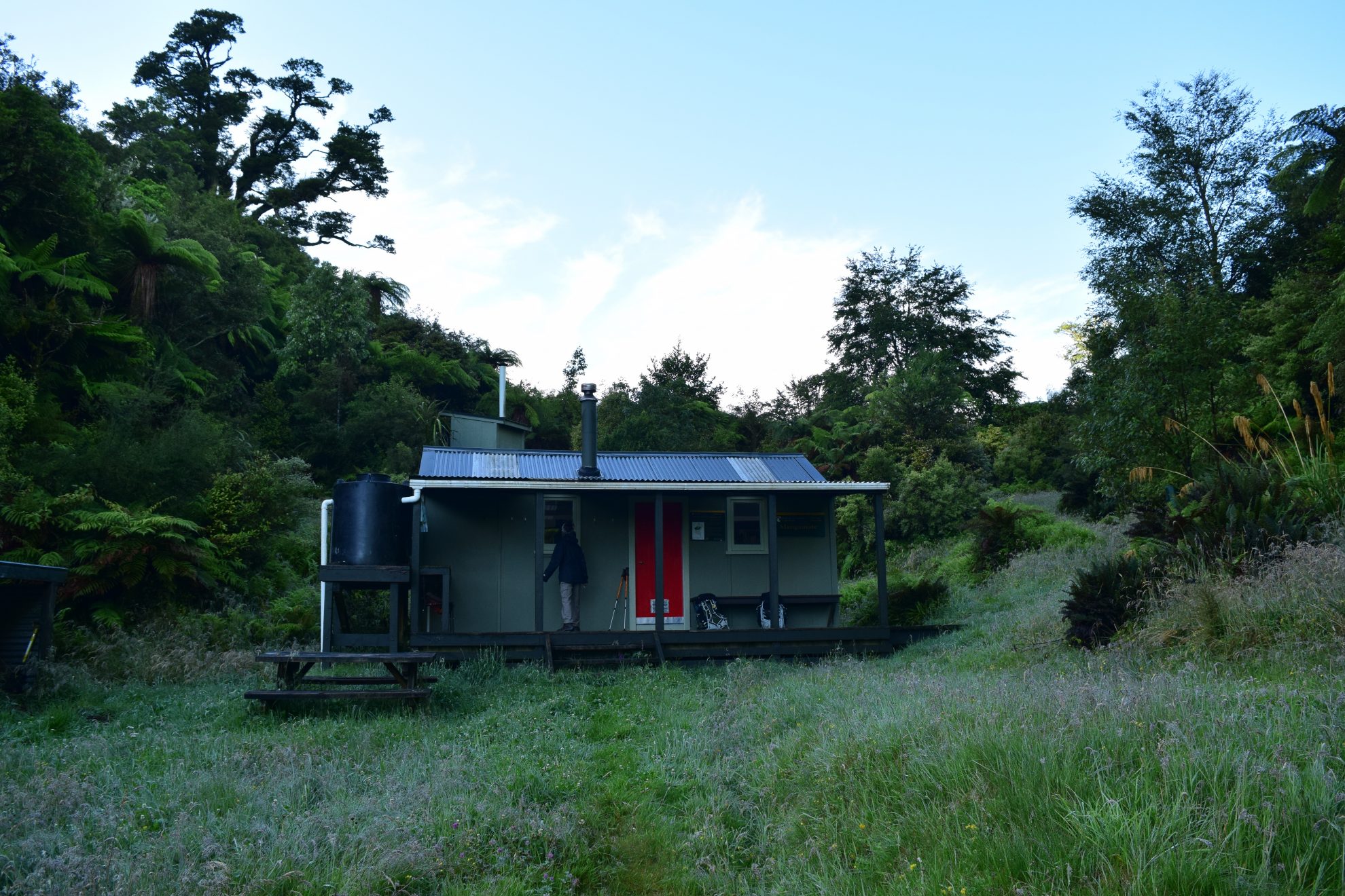
After another 90 minutes, the trail leaves the stream with a steep uphill slog to Mangamate Hut, at 812m. This nine-bunker is a quaint, cosy refuge – the perfect spot to curl up and listen to the rain on the corrugated iron roof.
The trail heads steeply down the hill from the hut, before again entering Mangamate Stream, for about an hour’s wet walking. Emerging from the waters, we had to watch out for native ongaonga stinging nettle that lines the track in places, growing several metres high.
After another hour, the track again reaches the Whirinaki Waterfall Loop Track, from where it’s a short walk back to the car park.