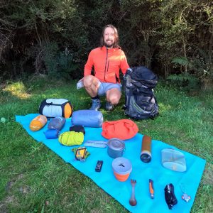
The track begins from the car park at the end of Glen Nevis Station Road and is indicated by a DOC board. Cross the stile and follow the 4WD track through private farmland.
Initially, a poled route ascends over 200m, so expect a breathless climb. The zigzagging ascent continues for around 3km to another fence. This is the boundary to The Remarkables Conservation Area. Once over the stile, ignore the poled route to the left and instead follow the path to the right for around 400m until reaching a fenceline, which leads directly to the summit.
The climb through tussock is tough going, but the gradient soon eases. Around 1300m the tussock is gradually replaced by rocky terrain for the final push to the top.
The fenceline diverts south at one point and a 4WD track, which begins around 500m to the south, leads to Tennants Peak at the southern end of the Hector Mountains / Tapuae-o-Uenuku.
Continue upwards on the north side of the fence until, after several false summits, the fenceline bends to the left as Lorn Peak is approached. A small array of rocks and the remnants of a steel post signal the top, but you may need a topographic map to locate it exactly.
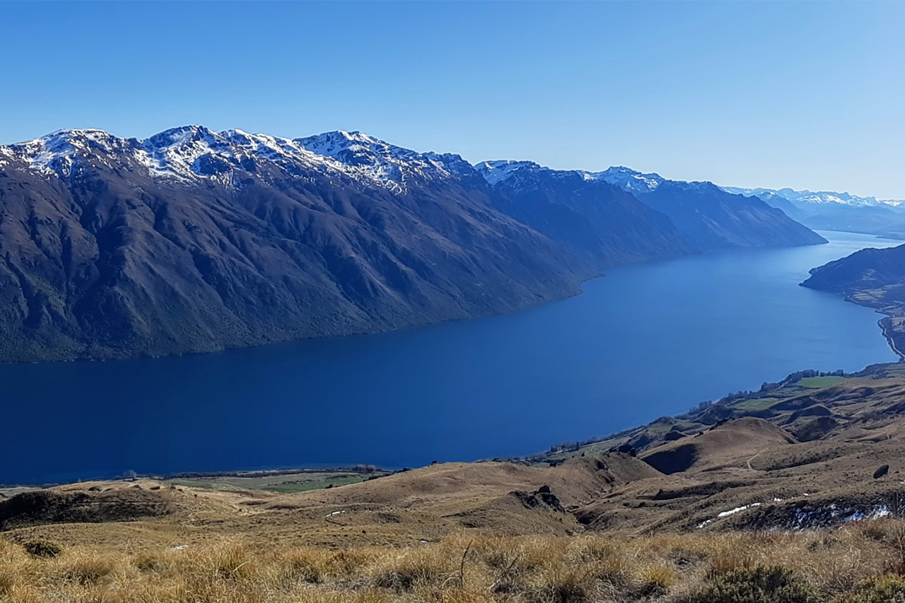
The views are superb and include the entire southern arm of Lake Waka-tipu overlooked by the Eyre Mountains. The Hector Mountains expand to the north, and the Nevis Valley and Garvie Mountains are to the south-east.
A satisfying day hike with stunning views, Lorn Peak is a surprisingly unpopulated destination.
Return via the same route, taking care to relocate the farm track to avoid trespassing on Glen Nevis Station.

34 years of inspiring New Zealanders to explore the outdoors. Don’t miss out — subscribe today.

Questions? Contact us