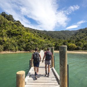
Most people will only know Falls Creek from the impressive waterfall that fringes the Milford Road, but the route starting beside it offers excellent opportunities to explore classic Fiordland backcountry without the crowds.
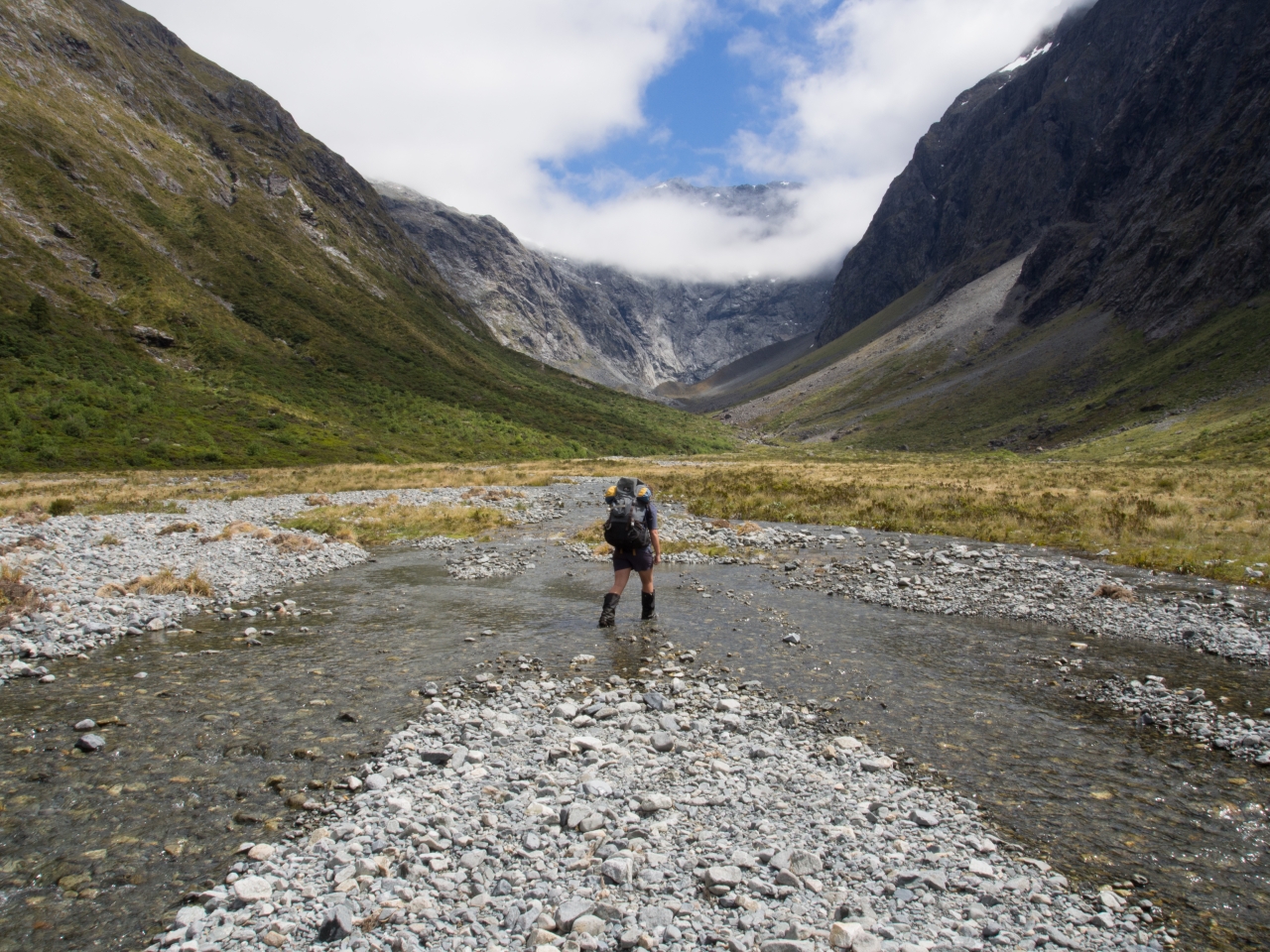
The track follows the creek steeply upwards as it climbs towards the hanging valley, crossing over slippery rock faces and gnarled roots. After 45 minutes of steady climbing, the track reaches the valley and levels out. The silver beech forest is unusually diverse, filled with lush lancewood and coprosmas. The track steadily deteriorates as you travel up-valley, and finding the next orange triangle can become tricky. Emerge from the bush into a large swampy clearing. Here, the valley opens up into a series of scrubby river flats, with the imposing massif of Ngatimamoe Peak visible to the left.
A further twenty minutes, boulder hopping brings you to a three-person rock bivvy marked by a cairn, but there are also potential camping spots further upstream.Head for the lake at the head of the valley. The landscape is covered with rock jumbles and thickets of pineapple dracophyllum, and becomes progressively desolate and gravely as you reach the moraine near the lake. The lake itself is an eerie oval of milk-blue water, fringed by sheer rock faces and a huge slab of ice. Apparently it sometimes contains icebergs.


34 years of inspiring New Zealanders to explore the outdoors. Don’t miss out — subscribe today.

Questions? Contact us