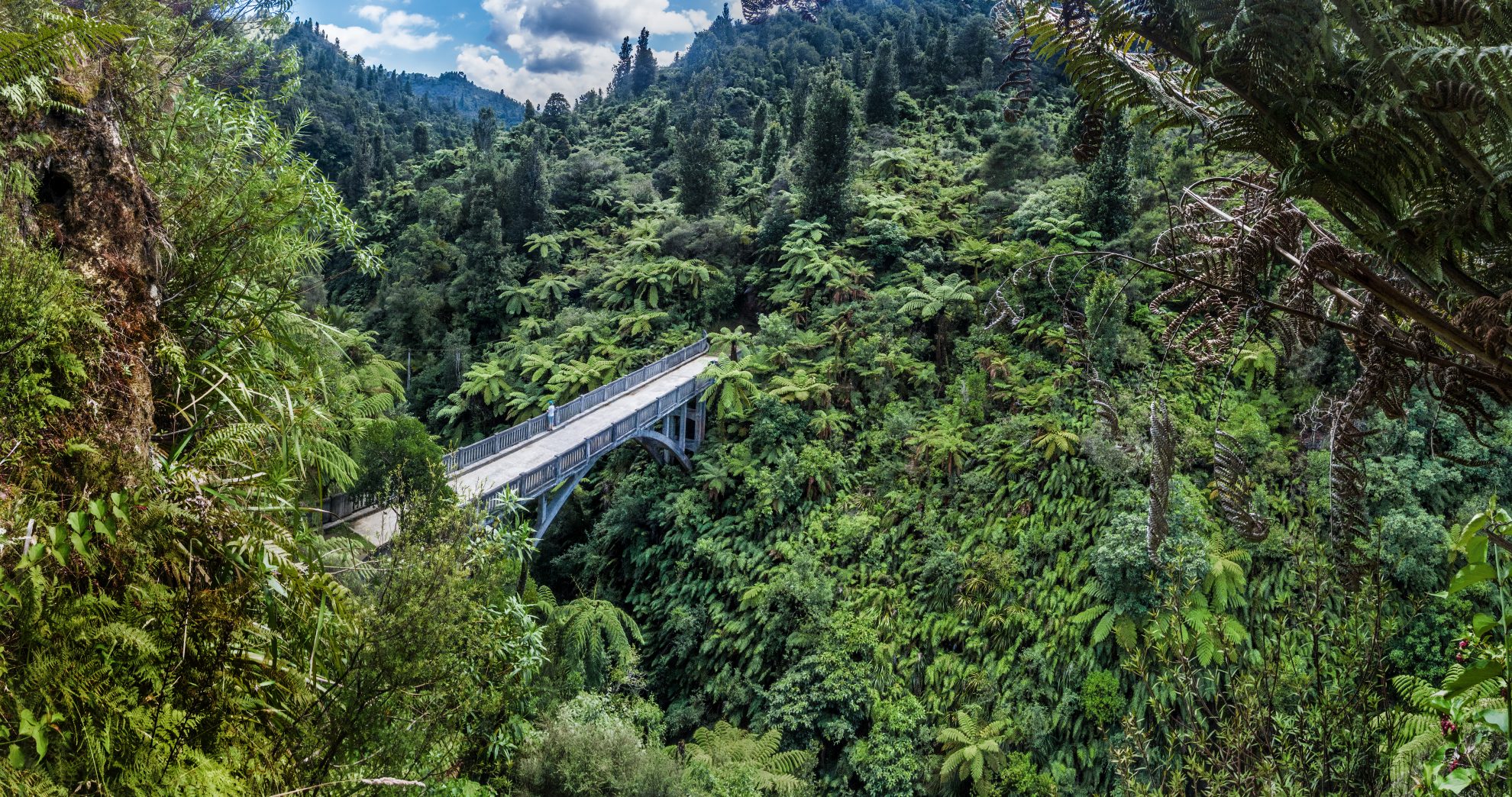
Deep in Whanganui National Park, spanning the Mangapurua Stream, sits a 40m-long arch bridge, known as the Bridge to Nowhere. The simplest way to get there requires a 40-minute jet boat ride from the village of Pipiriki, some 24km to the south. The ride is through sheer, fern-clad cliffs – one of the most spectacular […]
Kaimanawa Circuit (Sharp Cone and Mt Urchin), Kaimanawa Forest Park
Trending Now
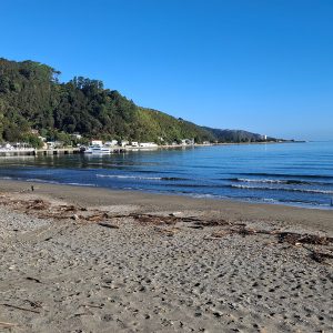
Lowry from Days Bay, East Harbour Regional Park
Trampers say decision to remove beloved hut failed to follow process
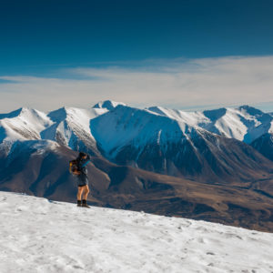
Foggy Peak, Korowai-Torlesse Tussockland Park
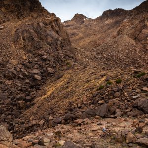
Roaming the red rocks
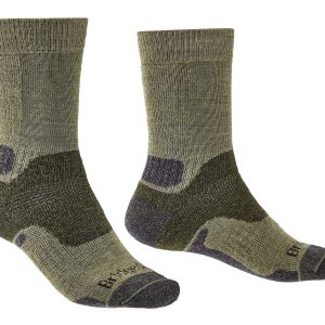
2026’s guide to outdoor socks
Subscribe!
Each issue of Wilderness celebrates Aotearoa’s great outdoors — written and photographed with care, not algorithms.Subscribe and help keep our wild stories alive.