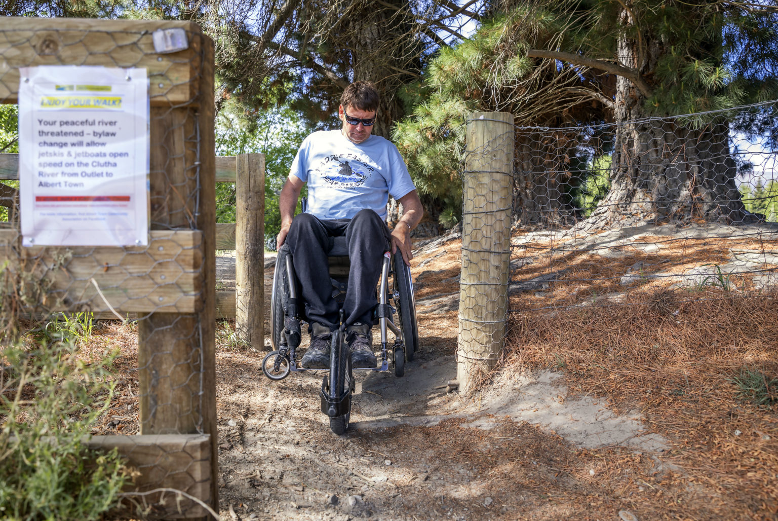
An online tool designed to make the outdoors more accessible to the disabled by providing detailed track information is expanding around the country.
Nearly a quarter of the population identify as disabled in some way, which can make experiencing the outdoors a challenge. The Accessibel website (accessibel.co.nz) aims to reduce those barriers by including detailed information about tracks and public spaces – like the location of stairs, track condition and gradient – so people with disabilities can choose tracks that suit their needs.
The project is a partnership between DOC, the Halberg Foundation, software developer Sensibel and local councils and was launched last year.
So far 34 tracks have been mapped. That is soon set to triple as 60 tracks are being mapped by out-of-work tourism employees in South Westland funded by a $15,000 grant from the government’s Jobs for Nature programme. The new tracks will come online in time for summer.
DOC ‘healthy nature, healthy people’ advisor Jo Kearns said the website was developed in consultation with the disabled community, who wanted more information about tracks to help plan trips.
“(Disabled people) want to know where the challenges are on a track before they leave home,” Kearns said. “There was a really strong call for more information, so they can make their own decisions.”
Tracks are mapped by trained experts to ensure information is accurate and consistent. Each track includes photographs and descriptions of obstacles and terrain and details facilities like seats and toilets.
Currently, the website covers tracks in Otago, Canterbury, the West Coast and New Plymouth, but DOC is working with councils around the country to expand the network.
The Wilderness 40 Best Huts: 12 Top North Island Huts
Winter magic in the high country
Takorika, Havelock Water Supply Reserve
Subscribe!
Each issue of Wilderness celebrates Aotearoa’s great outdoors — written and photographed with care, not algorithms.Subscribe and help keep our wild stories alive.