History and scenery close to Auckland

June 2012

Read more from

June 2012

View of Manukau Harbour from Arataki Visitor centre
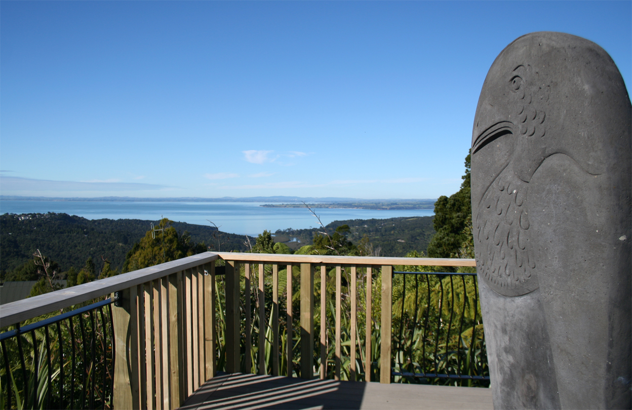
Incline Track, Waitakere Ranges Regional Park

Only a 6km drive from Titirangi, the Slip-Pipeline-Incline Track loop offers an easy half day hike for city dwellers short on time. But beware, Incline Track got its name for a reason and could more accurately have been called Steep Incline Track – it will get your thighs and heart working if you choose to walk up rather than down.

It’s possible to start the trip either at Arataki Visitor Centre or at Greenwoods Corner, a gated service road at the Incline Track end about 1.5km west of the visitor centre. It’s safest, especially if you have kids, to park a second return vehicle to avoid having to walk along narrow Scenic Road which has no footpaths and attracts fast drivers. To provide an alternative to road walking, the Auckland Council is considering creating a new track that would start opposite Greenwoods Corner, at Rangemore Track and would connect to Arataki Nature Trail.

I prefer starting at the visitor centre because I enjoy the challenge of walking up Incline Track. The visitor centre itself is worth a look in first, if you haven’t already, as it has nicely presented information about the Waitakere Ranges’ history and biodiversity.

Just after the start at the visitor centre, there’s also a new viewing platform that offers expansive views out to the Manukau Harbour and the distant Hauraki Gulf. From here, the Slip Track winds downhill for about 900m until it reaches Pipeline Track which is about the same length. From the end of Slip Track to the start of the tramline at the top of Incline Track, most of the trail consists of sometimes slippery, root-ridden clay with pockets of the usual Waitakere mud. It’s especially slippery walking up or down Incline Track.

Just before the end of Pipeline Track and the start of the Lower Nihotupu Dam Road, a bridge passes over a stream with a good sized swimming hole and a healthy community of eels. After here, the dam road continues for about 500m before a second bridge passes over another stream at the start of Incline Track. Don’t make the mistake I did and walk up a short cut on the left of the dam road as this will take you to past the Incline Track.

At the end of the dam road, a second bridge crosses Nihotupu Stream which offers a nice picnic spot on its rocky bank. Now begins the climb of Incline Track. When you just about reach the top of the steepest section, there’s a massive kauri on the left of the track. From here, the track flattens and merges with the Nihotupu Tramline on which Watercare runs its public Rainforest Express train. The tramline was built in the early 20th century for the construction of the Waitakere Dam. The tramline passes Hauler Tunnel and goes over two wooden bridges above deep gorges and, further on, through tunnels with hundreds of glow worms. The Nihotupu Pipeline runs next to the tramline, transporting water from Upper Nihotupu Dam to Titirangi.

It’s an easy walk along the tramline to Greenwoods Corner.

– Josh Gale

Josh Gale

About the author

Josh Gale

More From Wild Trips

Similar Articles

75 top trampers’ peaks

Gambolling in the Goulter

A dark experience

Trending Now

The 2026 Wilderness Outdoor Photographer of the Year competition

Otamatapaio Hut, Oteake Conservation Park

Dirt bike trial on Tongariro Northern Circuit gets approval

Why we’re putting on weight

A majestic coastal walk

Subscribe!
Each issue of Wilderness celebrates Aotearoa’s great outdoors — written and photographed with care, not algorithms.Subscribe and help keep our wild stories alive.

Join Wilderness. You'll see more, do more and live more.

Already a subscriber?  to keep reading. Or…

34 years of inspiring New Zealanders to explore the outdoors. Don’t miss out — subscribe today.

Your subscriber-only benefits:

All this for as little as $6.75/month.

1

free articles left this month.

Already a subscriber? Login Now