Image of the March 2011 Wilderness Magazine Cover Read more from the
March 2011 Issue
Home / Articles / Wild Trips

Back to the U

U Pass from Mistake Creek
Grade
Moderate/Difficult
Access
Signposted on State Highway 94, 4km before Cascade Creek
Map
D41

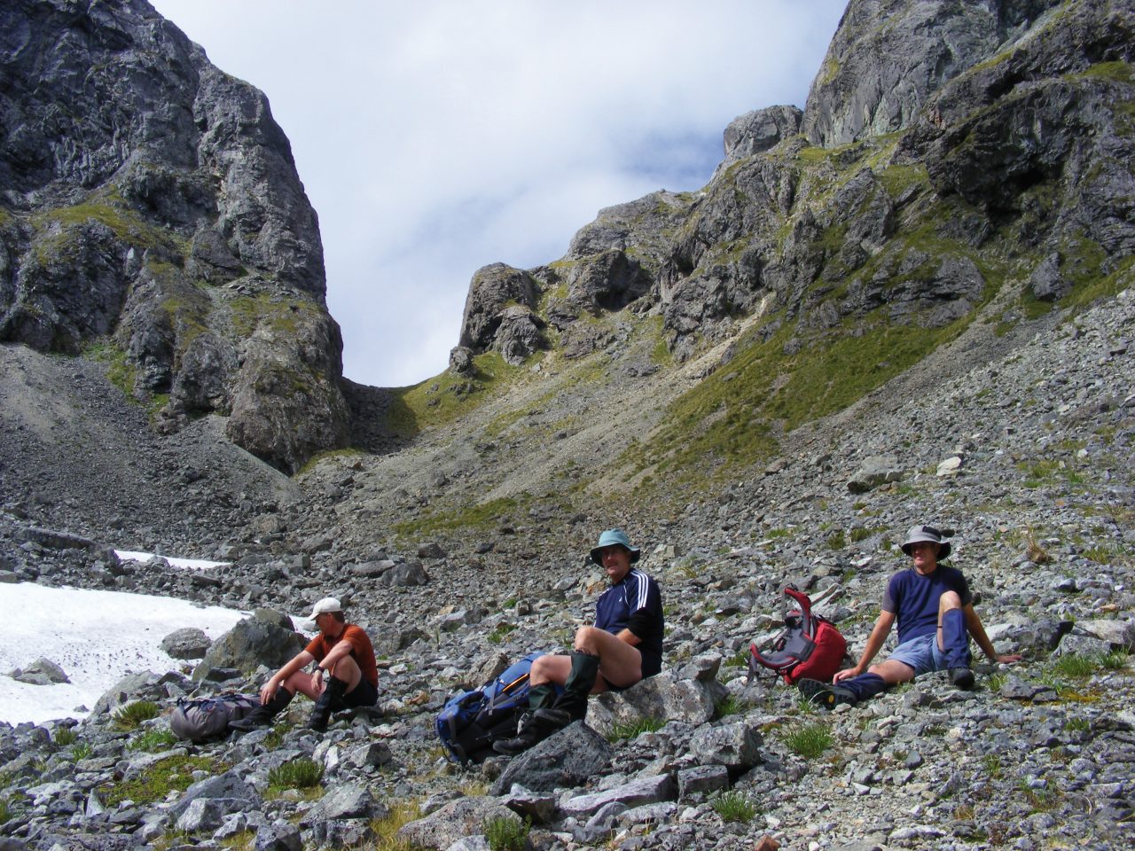
U Pass, Fiordland National Park

Twenty eight years is a long time to wait for a second crack at a thwarted trip, and so I was pleased to finally be heading for U Pass in Fiordland, particularly with a good weather forecast. The pass connects Mistake Creek and Hut Creek, tributaries of the Eglinton that lie in the Earl Mountains. It’s a few kilometres north of Dore Pass, which gives access from the Milford Road to Glade House on the Milford Track.

From the car park, the track descends through the forest towards the Eglinton River. There is obviously a fair amount of pest control work going on as there are lots of traplines.

We crossed the Eglinton on a walkwire and then made our way to a sign where the track splits to provide access to the two valleys. We were tackling Mistake Creek first. The well-marked track climbs steadily, initially away from the stream before returning to cross it. This was the point that I’d turned back from in the 1980s as the river was high and the party inexperienced. There’s been at least one fatality at this spot in the intervening years.

When the vegetation started to thin out, we had our first view of Mt Ngatimamoe, an impressive rock pyramid. Soon, we were out of the bush and negotiating flats sprinkled with boulders and scrub that slowed our travel. A left turn took us into the major tributary of Mistake Creek and our first view of the infamous waterfall. A bit of boulder-hopping upstream brought us close to the base of the fall. Moirs describes two routes – one on the true right requiring ‘care and confidence’; the other on the true left described as ‘a natural rock staircase [which] provides easy if highly improbable travel’. We chose the latter, although two of us found one move (assuming that we were on the route) to be more at the highly improbable end of the spectrum than easy. With that out of the way, we progressed through more scrubby boulders – or boulder scrub – to the lip of the hanging valley above the falls. This gave us our first look at the pass as well as a sighting of some chamois frolicking across some old snow at the head of the basin.

The ascent to the pass was a straightforward and direct haul of 200m. The pass itself is an impressive notch between two vertical walls. It is part of the Skelmorlie fault, which our eyes could follow to the north and to the south. The southern manifestation is Glade Pass on the far side of Hut Creek. This provides access to Glade House and thus a round trip linking with Dore Pass, but has a reputation for increasing difficulty caused by erosion.

For us, the next phase was a sharp 500m descent down a rocky gut. For me, a steep descent is a time-consuming thing, and I think I was half an hour behind my companions at the bottom. However, we’d planned to camp there so it wasn’t a problem. The campsite choice was limited by the fact that the bed of Hut Creek was dry right across the flats. But we were able to get water where a small waterfall tumbled over a headwall, so that’s where we pitched the tents.

Overnight rain had cleared by the time we were up and about. We knew we had a short day, so took a quick stroll up into the upper basin before heading downstream in the dry bed. At the bottom of the flats a track with a well marked entrance bypasses a section where the stream drops sharply (and with water apparent) and leads to another flat.

When the track at the bottom of the lower flat wasn’t as obvious as the previous one had been, collectively, and in most cases individually, we should have had the wit to realise that the sensible thing was to keep looking. But the terrain was sort of OK, the weather was great and we had time up our sleeves. Subconsciously, we probably didn’t want to spend longer than we had to feeding the sandflies by SH94. So we bush bashed. In days gone by, I was an enthusiastic off track bush basher. These days I think of Kelvin Lloyd’s definition in his book 45 Years of Antics: ‘the bush does the bashing’. We had, however, agreed that a major tributary would be the limit of this folly, as the main stream drops much more sharply from there and the risk of getting bluffed would be real.

Eventually we reached the side stream, where a lunch break – much needed after the morning’s exertions – was taken. The track was then located and was easily followed down to the Eglinton Flats. We splashed across two channels of Mistake Creek and then decided that the Eglinton was low enough to make the detour to the walkwire unnecessary. Five minutes later we were sitting by the road being photographed by tourists and avoiding sandflies.