Mt Iron, 549m, is perhaps Wanaka’s most well known, and loved, trail. It would certainly seem so from the number of tourists, locals, runners, children, dogs, and even paraponters you can encounter here at any time of day on this brief, though rewarding, hike to the summit viewpoint.
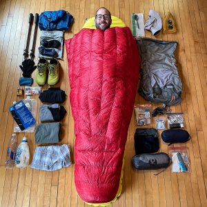
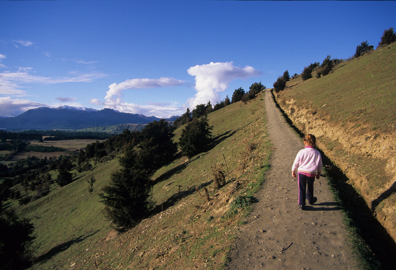
I’ve paused here, on a whistle stop visit to the top, in the late afternoon with the youngest of my girls, Bernadette, before heading on for dinner and bed at Glendhu Bay Motor Camp. I’m not so sure she is up to it as it’s been a long travel day with lots of stops and we are both tired. If truth be told, I’m not so sure I am up to the pace either, still a short walk will do us both good and the sombre tones of evening light beginning to seep across the lake are beautiful to watch.
Once out of the car we both perk up and begin to enjoy the activity and moderate demands of the track. The route up follows a circular path, heading north from the roadside car park before zigzagging up the western face through kanuka forest to gain the broad, easy-angled summit plateau along which the trail climbs, east, to the summit. Seats and information panels are located here to aid in identifying the landscape arrayed below, which, with its variety and depth has much to divulge of its geologic past.
The legacy of ice is much in evidence throughout the lake’s basin and back into the mountainous region west and north of here; scouring, moraine mounds, lateral moraines, and truncated ridges are mute testimony to the passage of ice over the land.
The high rocky summit of Mt Iron was once an ‘island’ surrounded by a sea of ice pushing out from the immensely deep beds of Lakes Wanaka and Hawea, which it had gouged. The Grandview and Pisa ranges, east and south, formed a natural fence, forcing the ice into the fissure of the Clutha Valley which it deepened as the tongue narrowed.
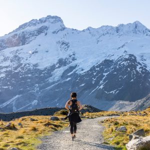
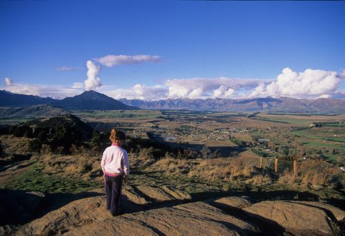
Mount Aspiring, Mt Alta, and the peaks of the Matukituki Valley are all easily seen from here as well as a great chunk of Lake Wanaka, the Clutha Valley, and the Pisa Range.
We paused, sitting together on one of the seats, enjoying the peace of advancing nightfall and the special closeness of a shared adventure as the light highlighted the nuances of the landscape.